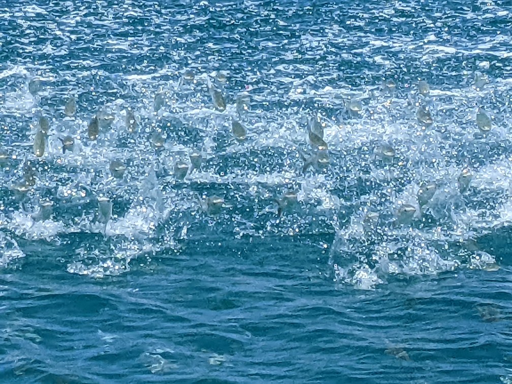
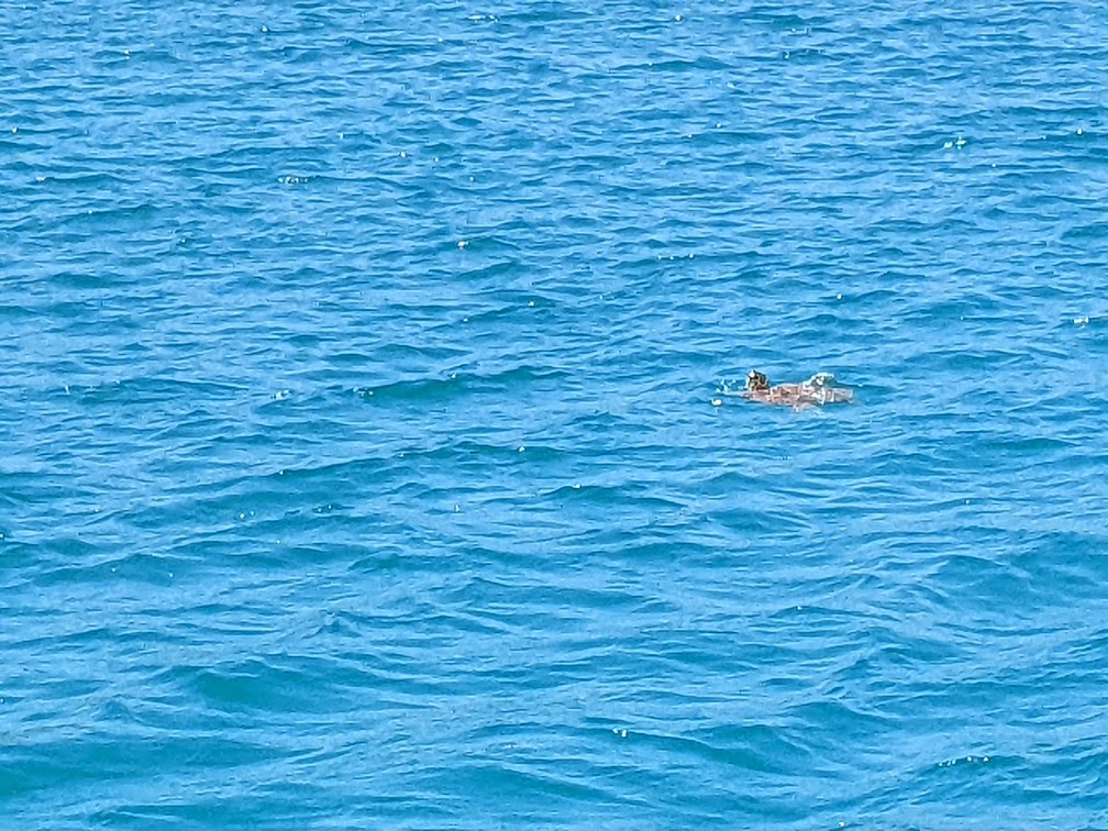
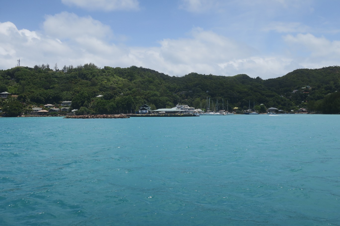
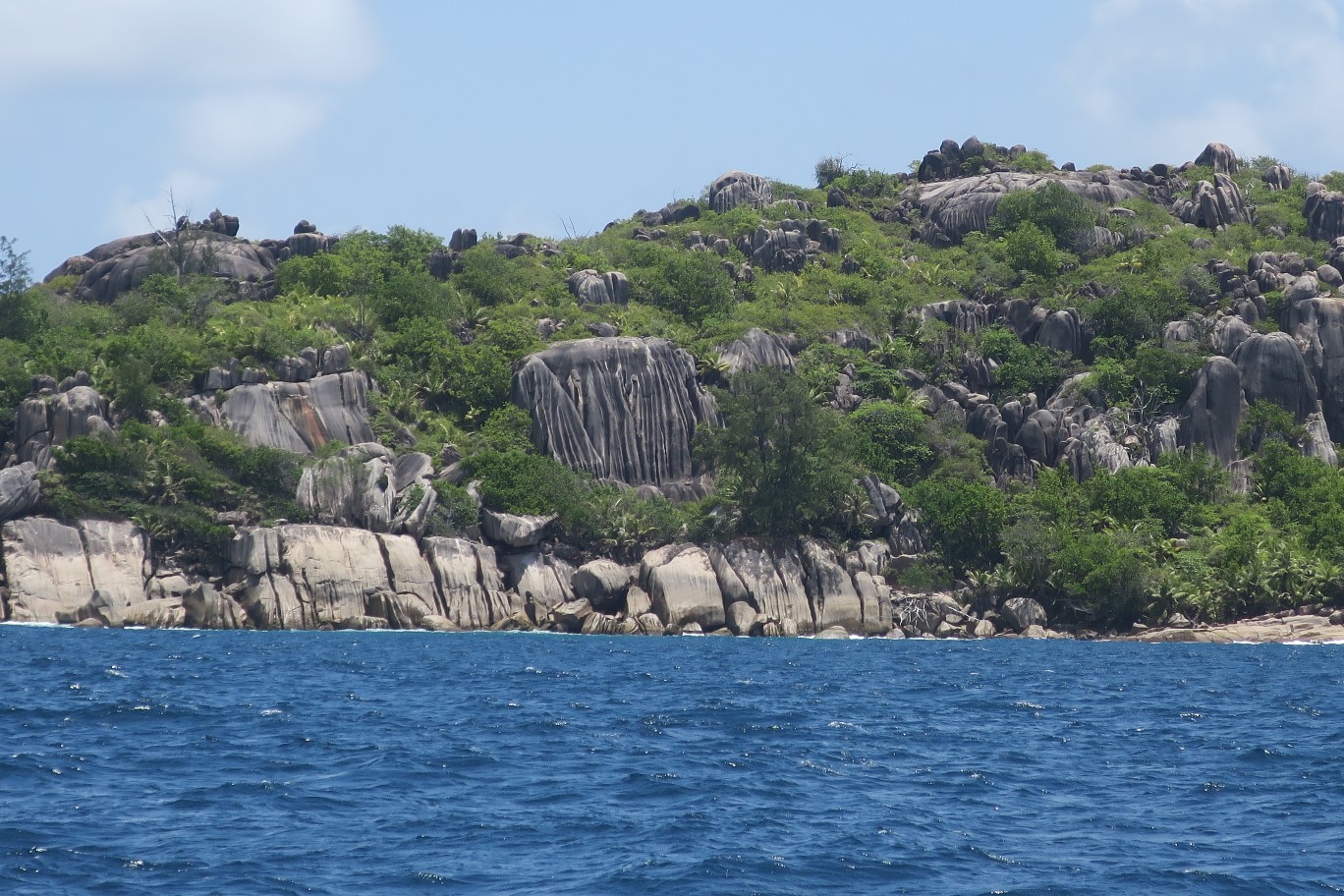
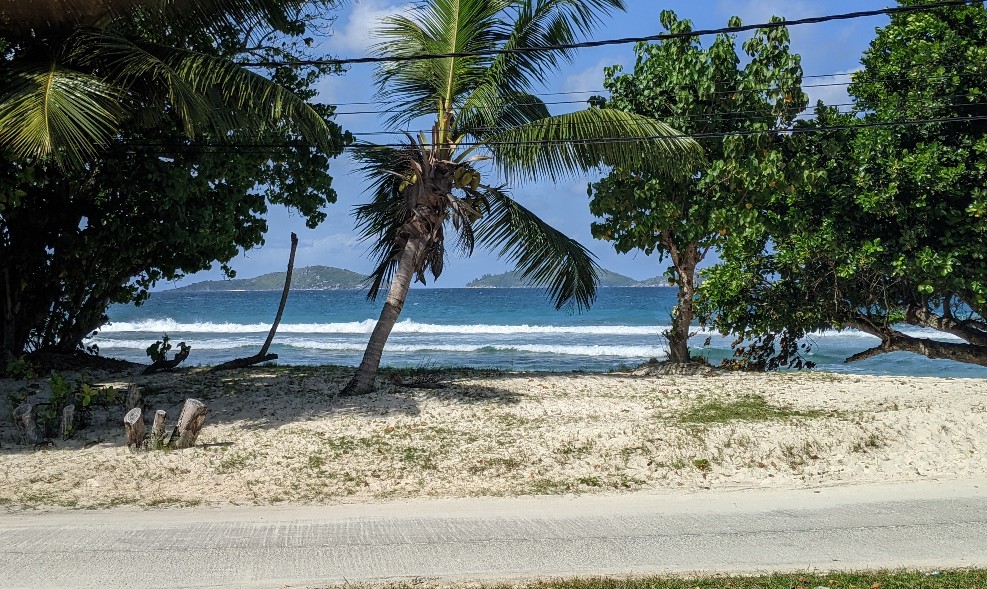
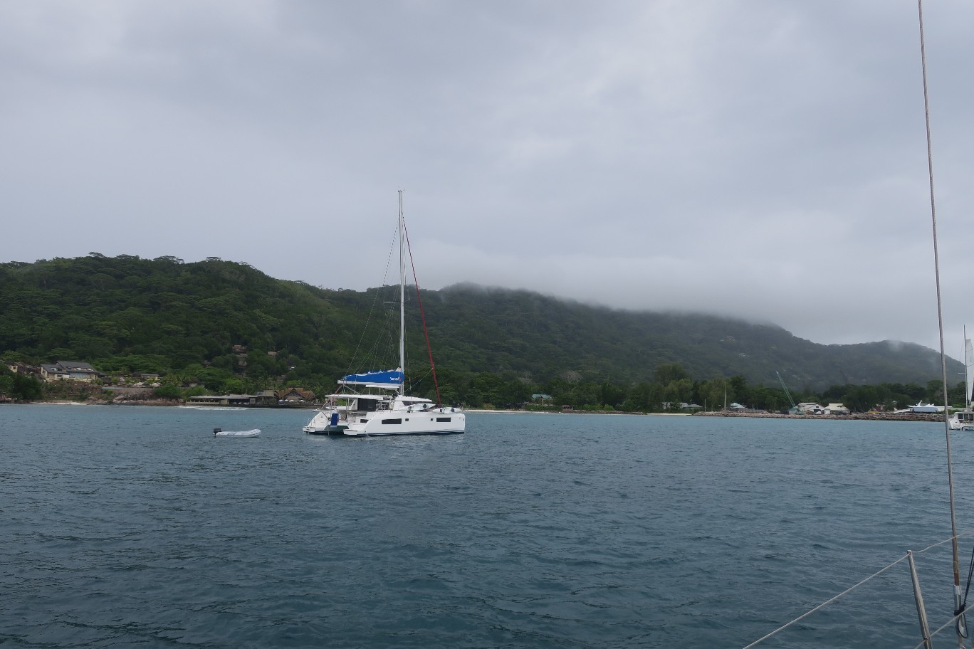
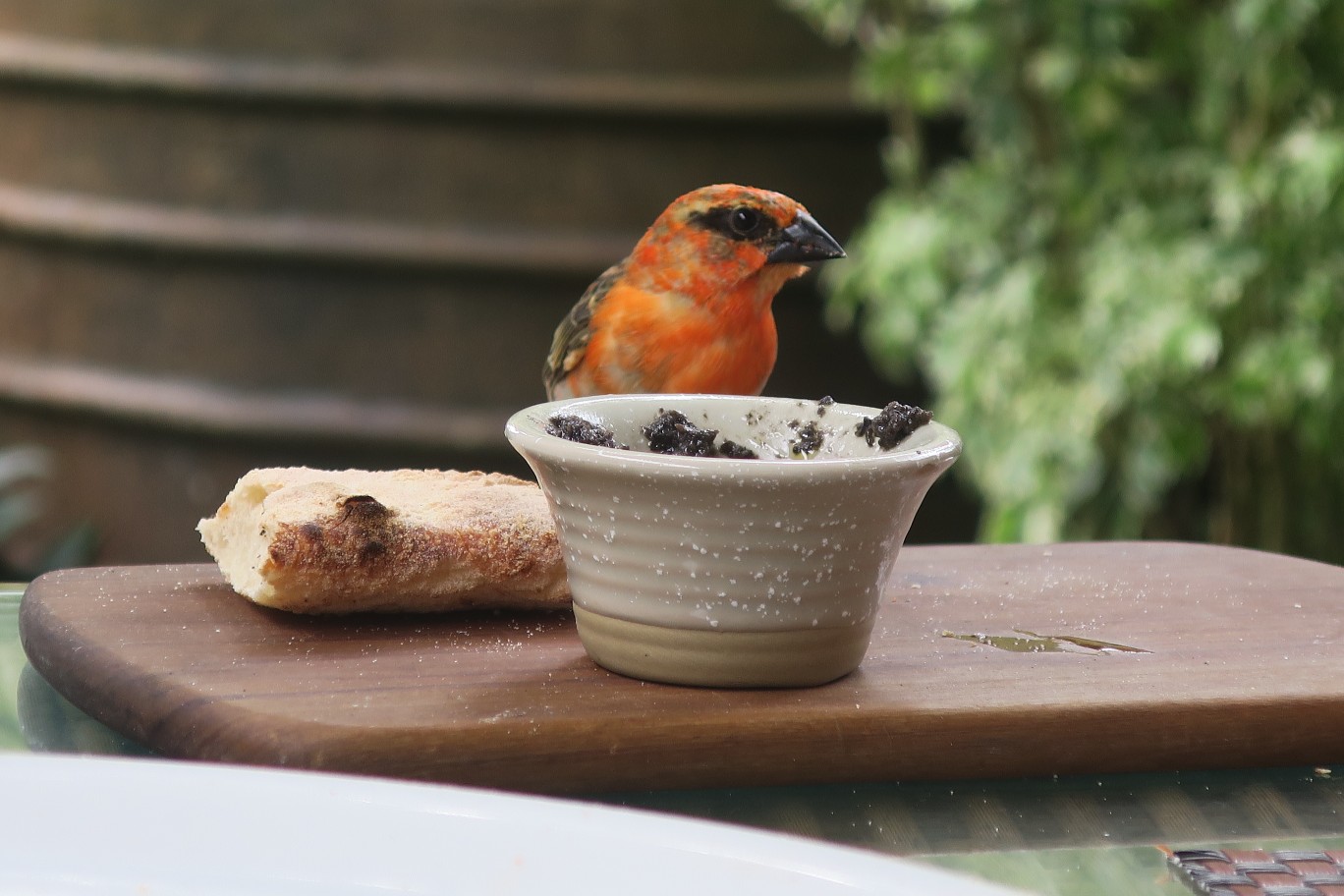
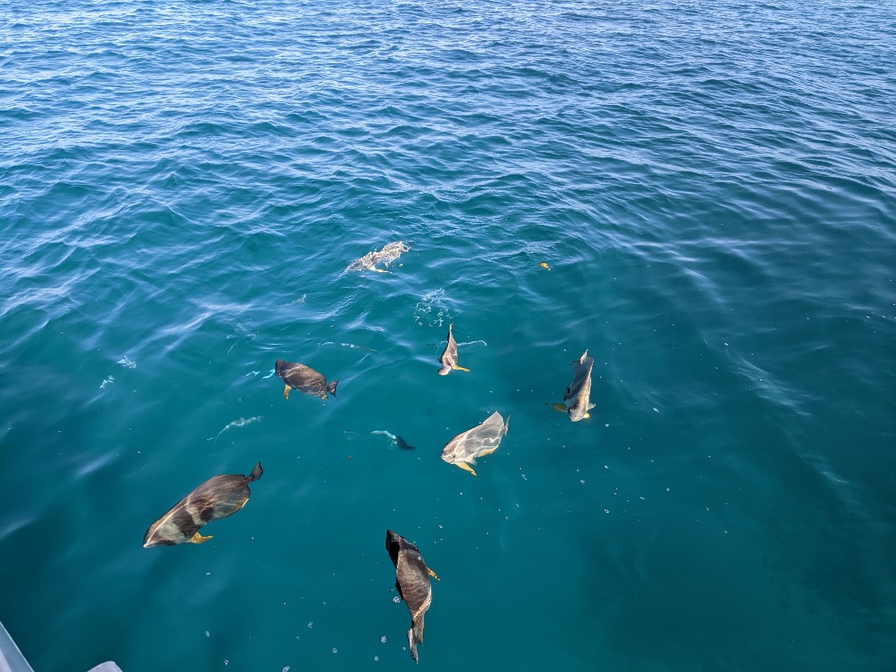
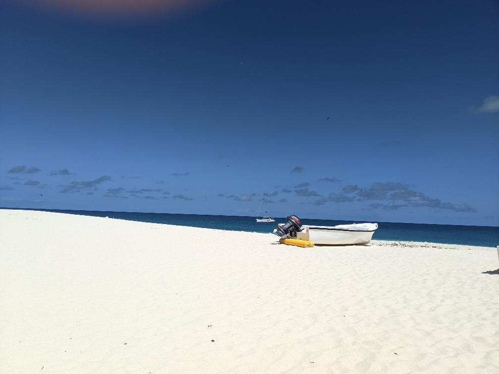
We were up early this morning and “off the hook” by 7am. We were headed to Cousin Island, the site of Aride Island’s sister bird sanctuary (note: we have found out that Aride Island is closed and no longer giving tours. I wish we knew that before we anchored there and our dinghy broke in the swells). It was another short ride, only about 5 miles, so we were anchored there by 8:15. We had breakfast and waited for the reserve boat to pick us up. There were large flat fish swimming around the swim platform, looking for food. They didn’t get any from us.
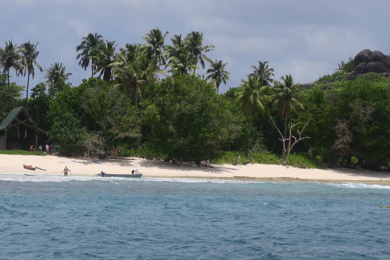
The boat arrived around 10; there were two other people in the boat. They don’t let you bring your dinghy ashore because they want to make sure no predators end up on the island, as they’ve completely eradicated the varmints that eat bird eggs. We were in a wooden dory which they drove right up on shore. We were getting close to the beach, they told us to hold on, and then they accelerated right onto the beach. I was expecting the boat to stop violently. It stopped quickly, but we weren’t thrown forward or anything. The driver smiled and said, “James Bond, eh?”
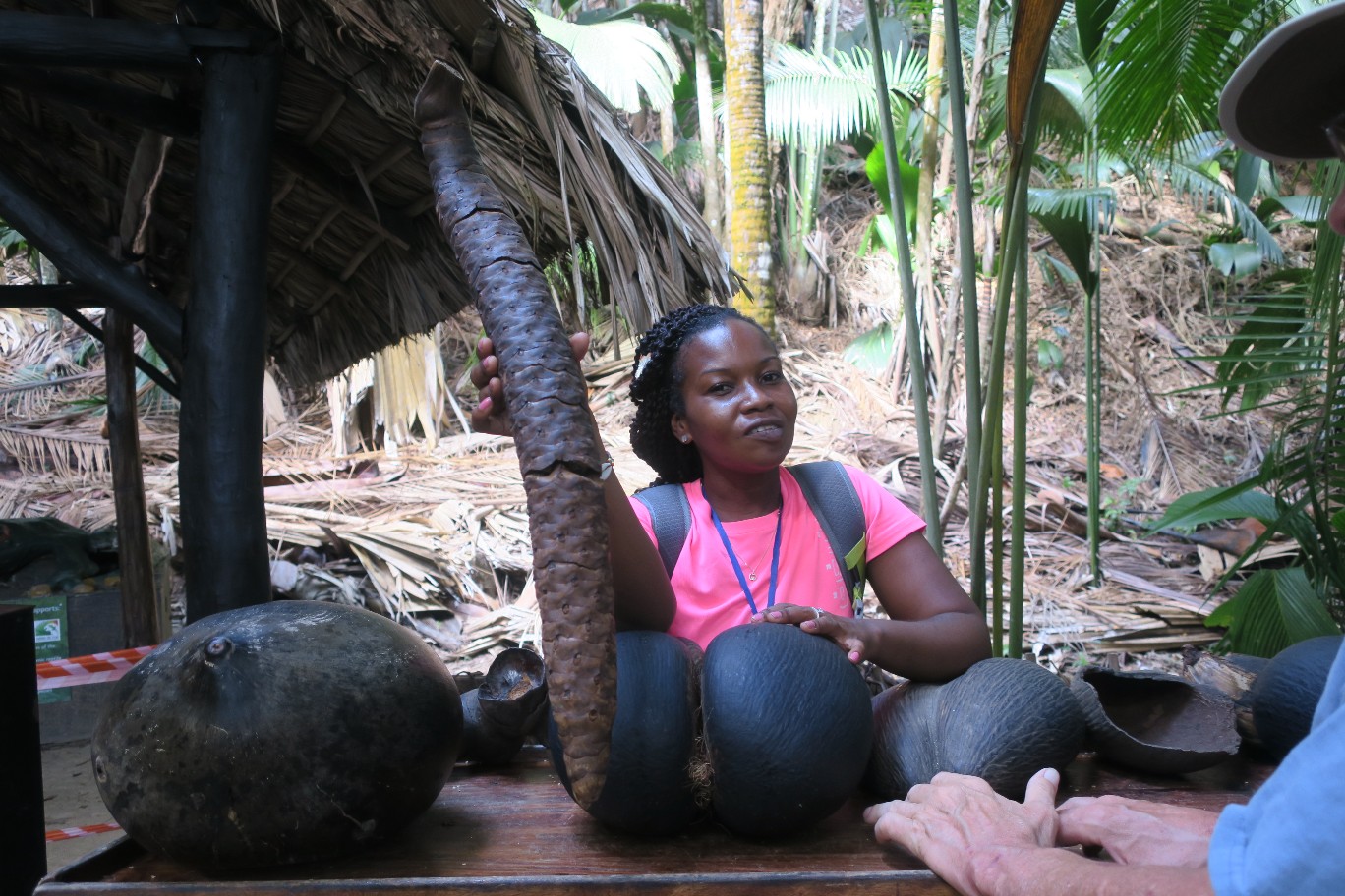
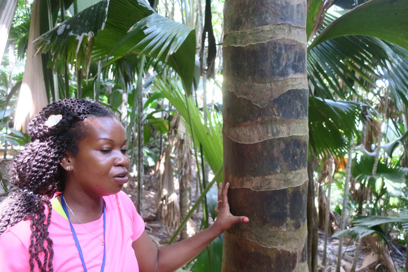
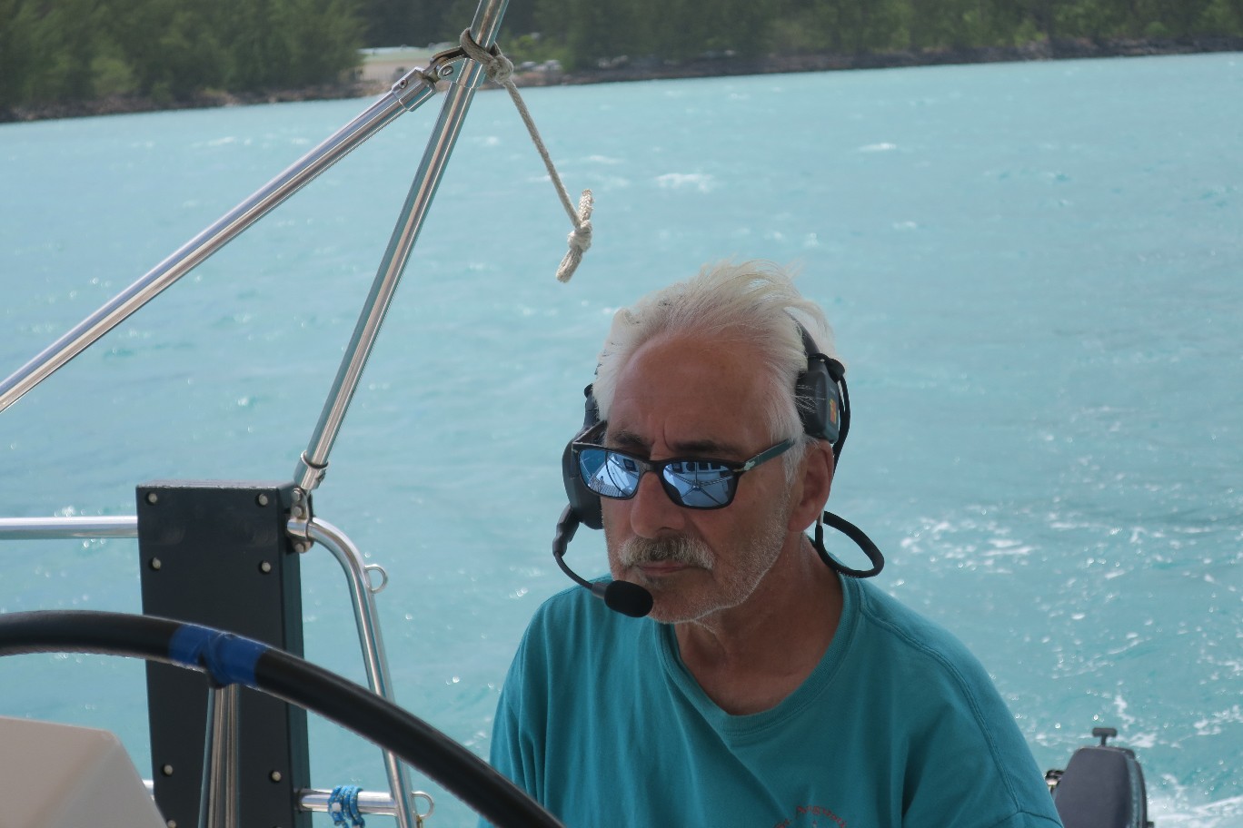
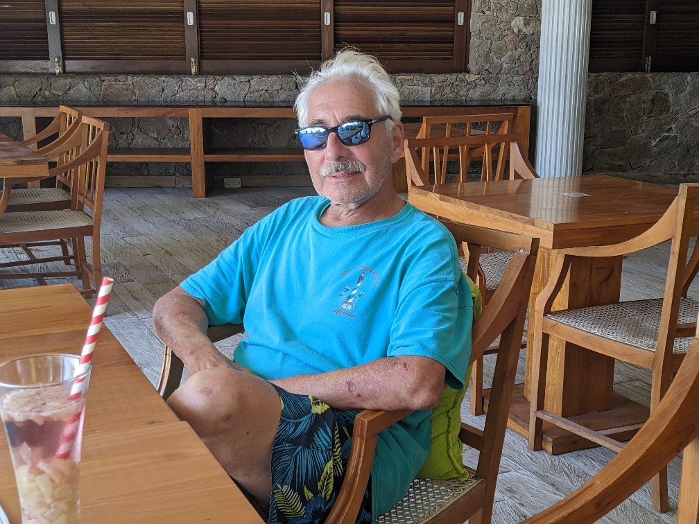
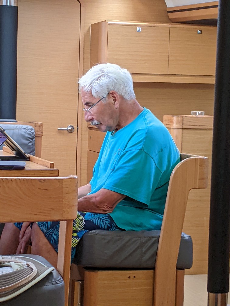
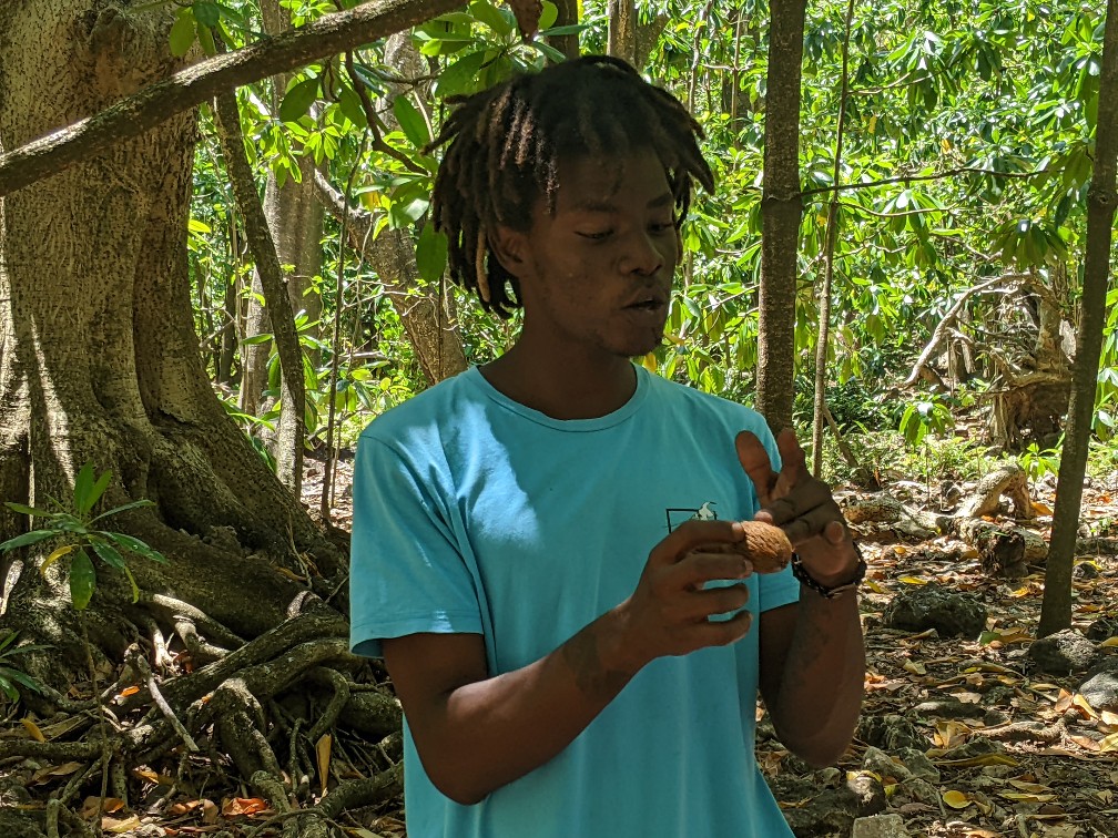
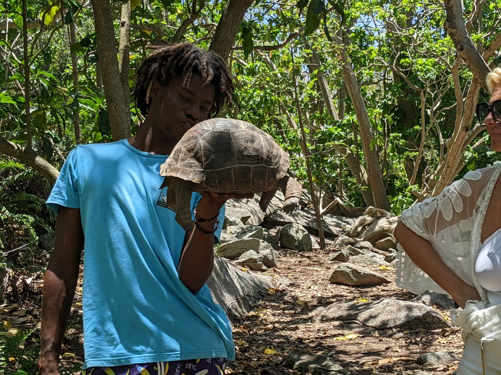
We were organized into groups, French speakers, English speakers and those that came from a small cruise ship that also spoke English. Our tour guide was named Jules. He told us that he visited the island 10 years ago and never left. He, like the other tour guides, live on the island. They give tours in the morning and do conservation work in the afternoon. Here’s a picture of Jules.
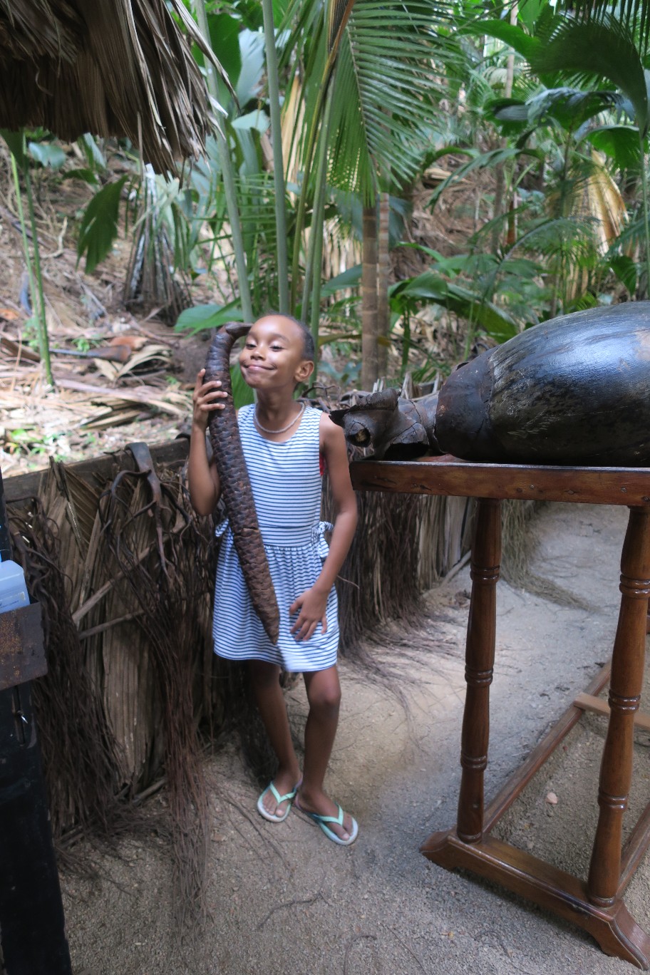
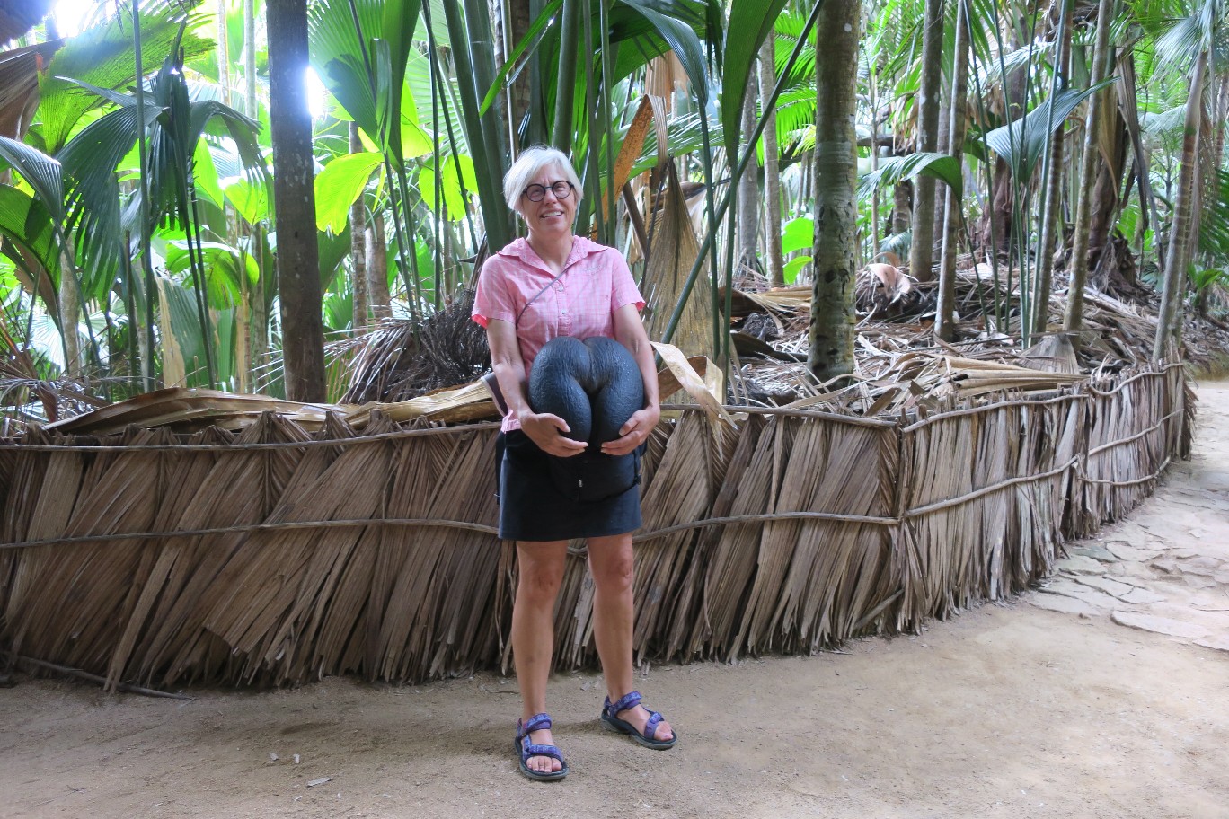
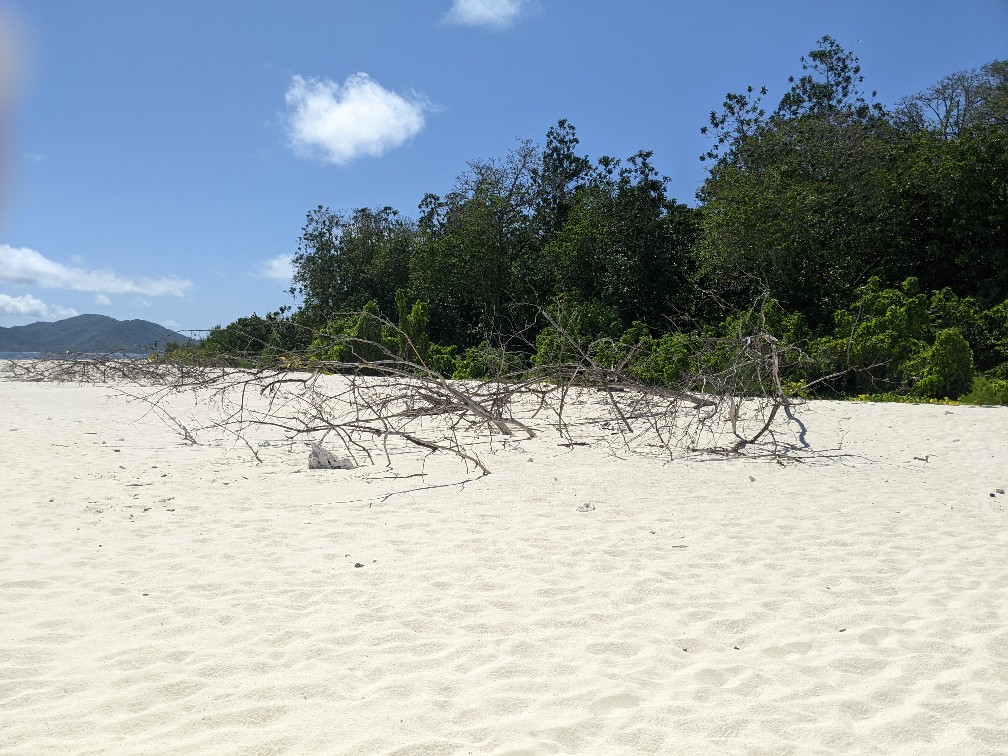
Cousin has been a nature reserve since 1968 and before that it was a coconut plantation. The coconut trees have been cleared, making way for more indigenous trees that harbor and nuture the bird populations. The island has lots of small rocks which are actually hardened bird guano. It is a great fertilizer so the trees grow very quickly, but their roots can’t go very deep so they don’t live very long.
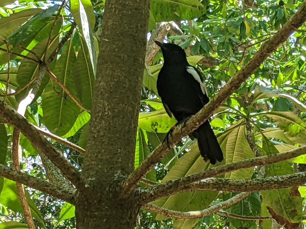
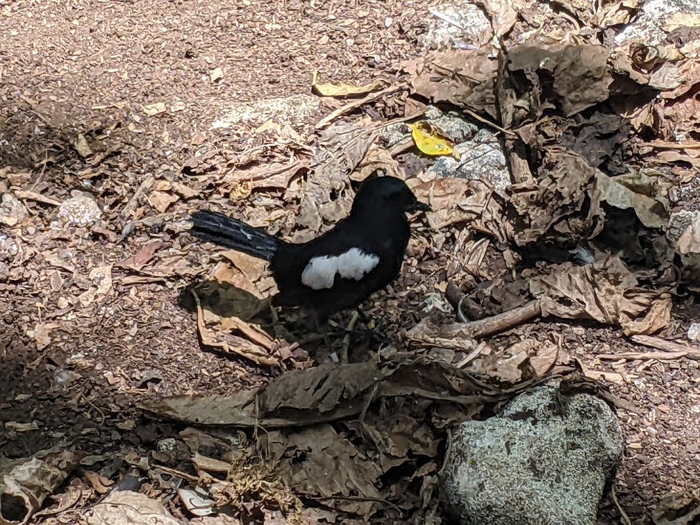
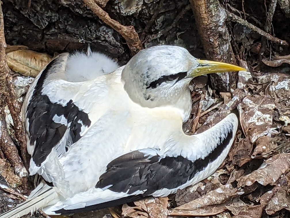
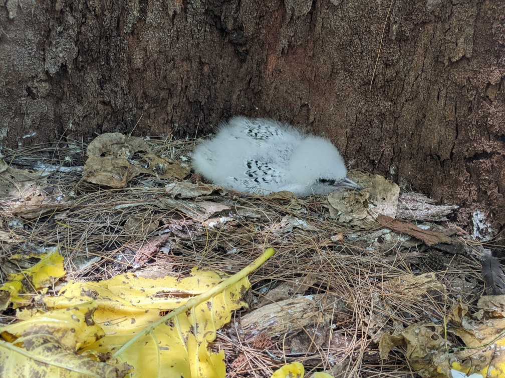
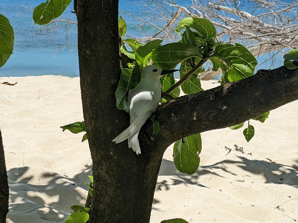
There were four main birds that we saw on the island, brown noddies, white terns, white-tailed tropicbirds and the endangered Seychelles magpie robin. Jules spoke to us about lots of details regarding the birds, but I won’t bore you with them.
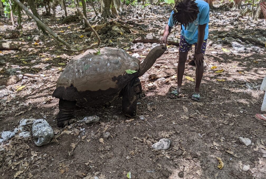
There are also about 60 Aldabra giant tortoises on the island.
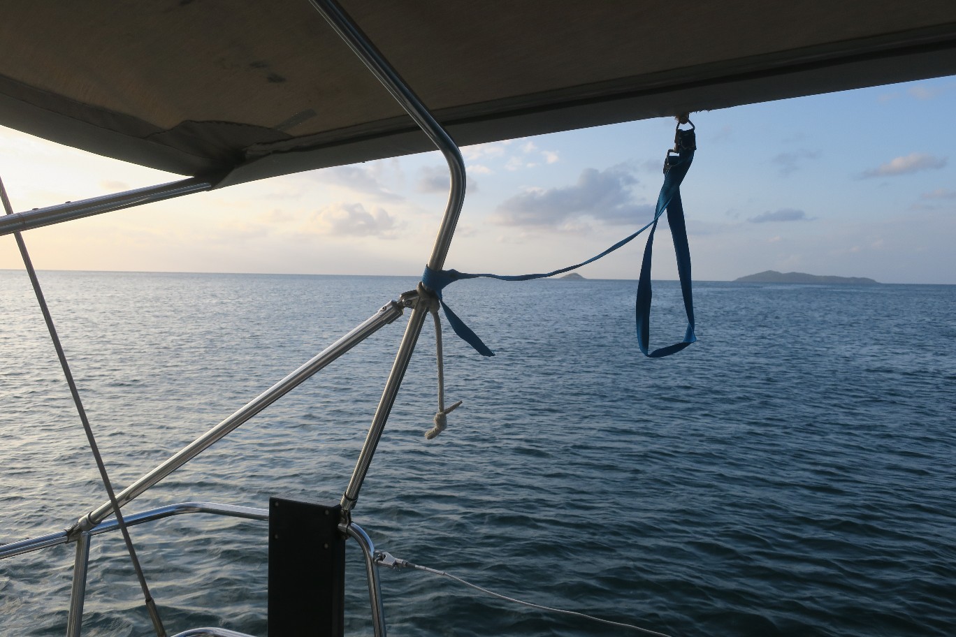
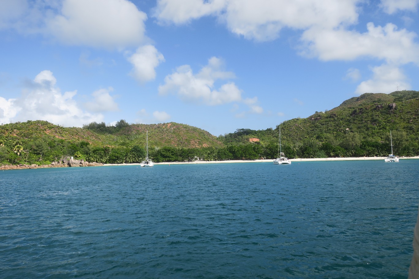
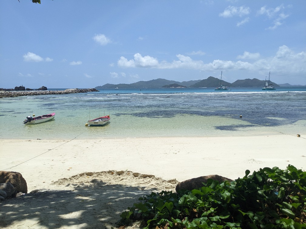
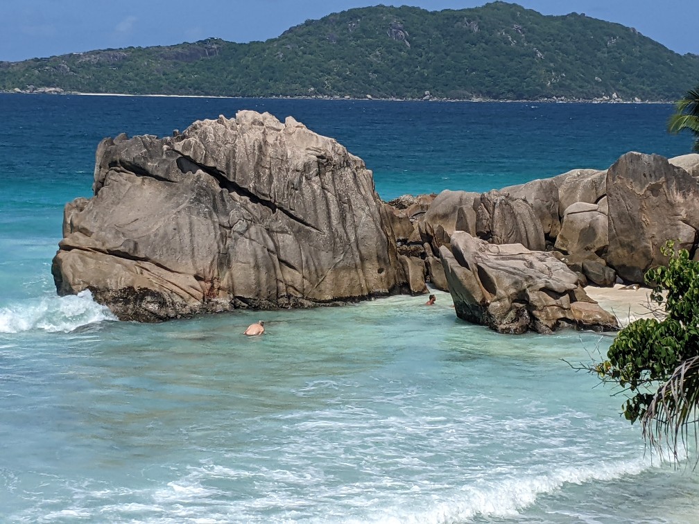
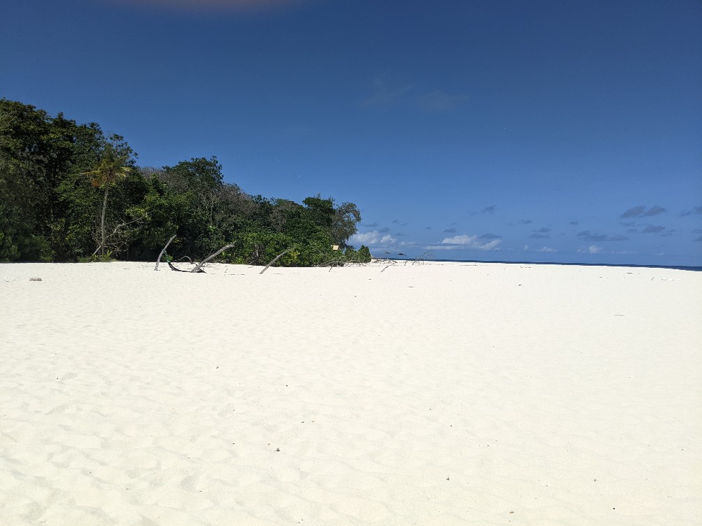
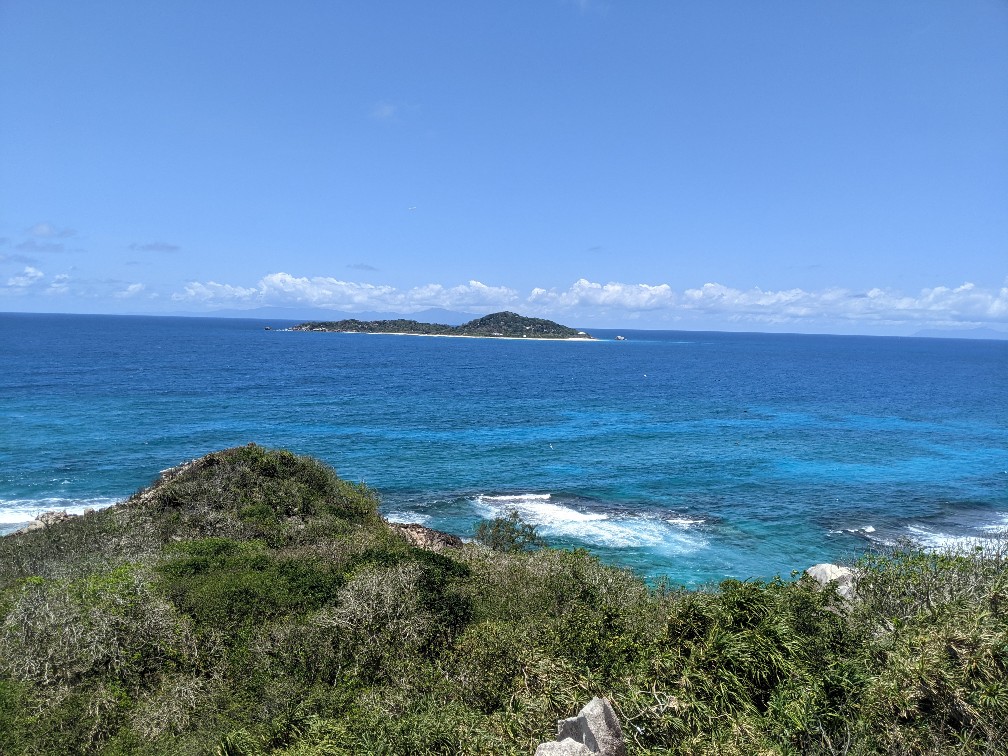
Additionally, we walked up whic to the highest point on the island which provided us a great view of the surrounding islands.
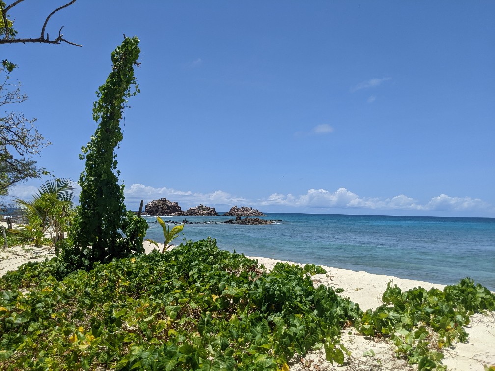
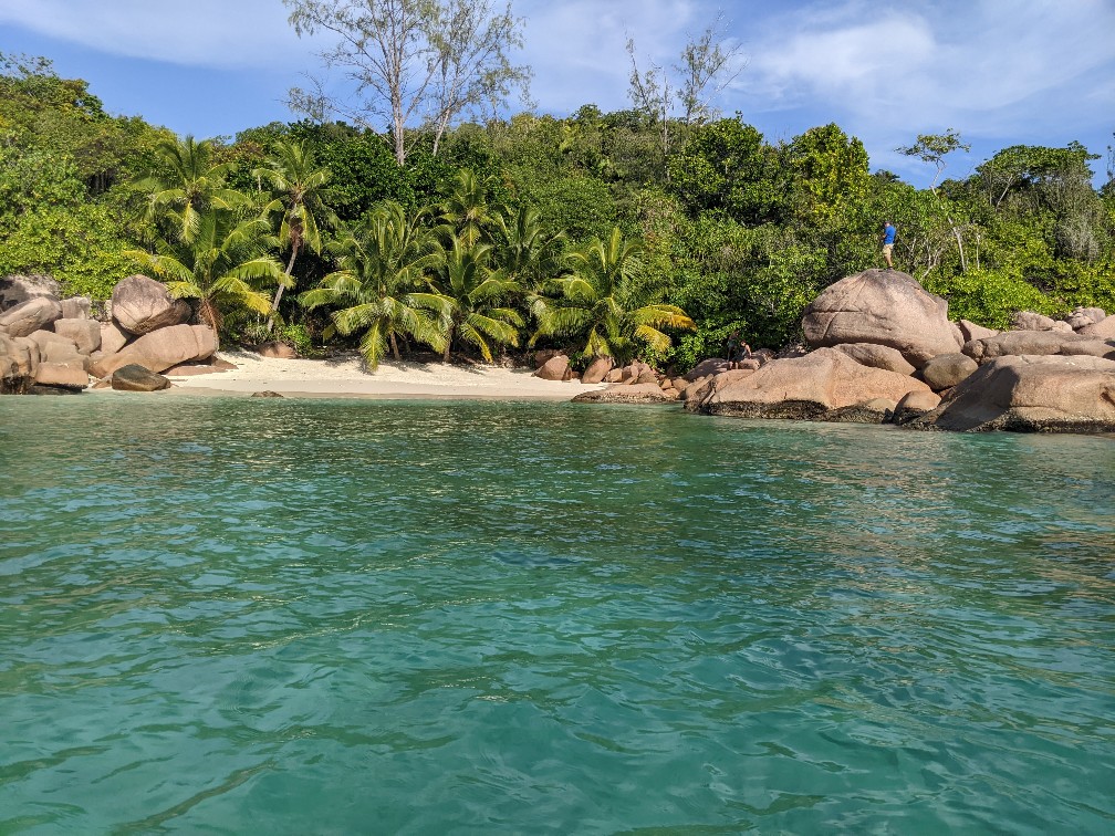
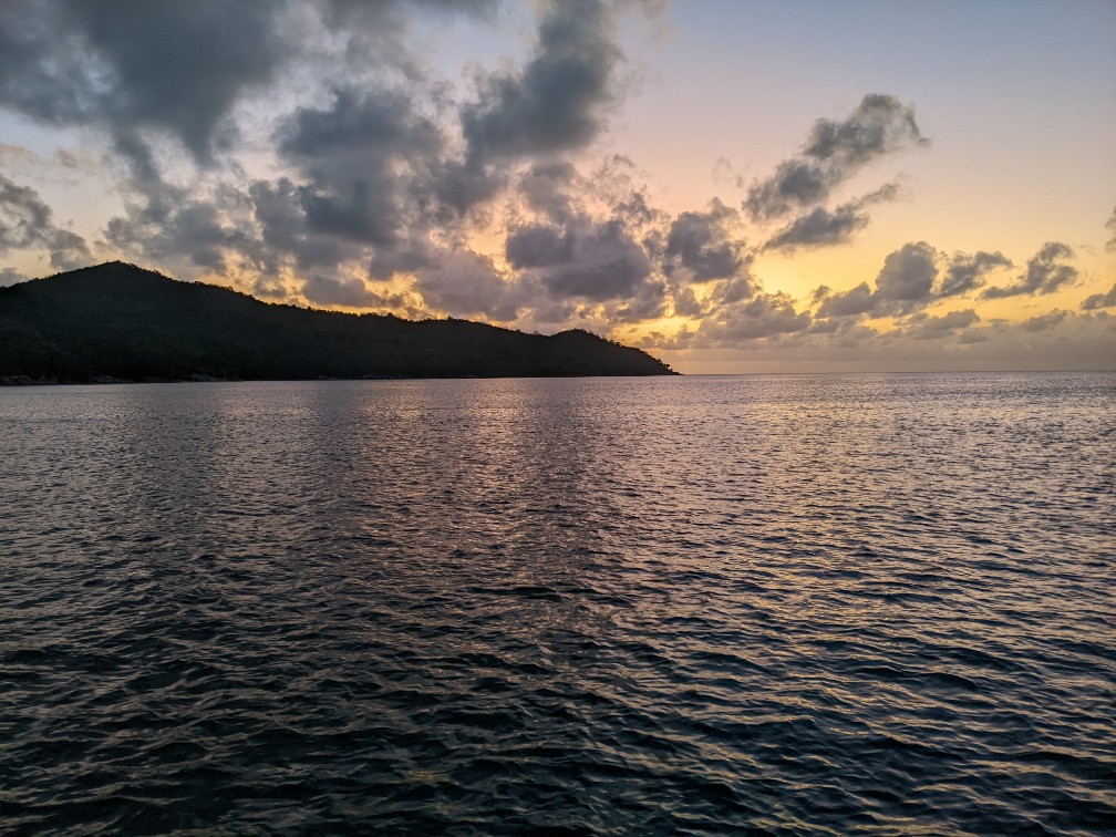
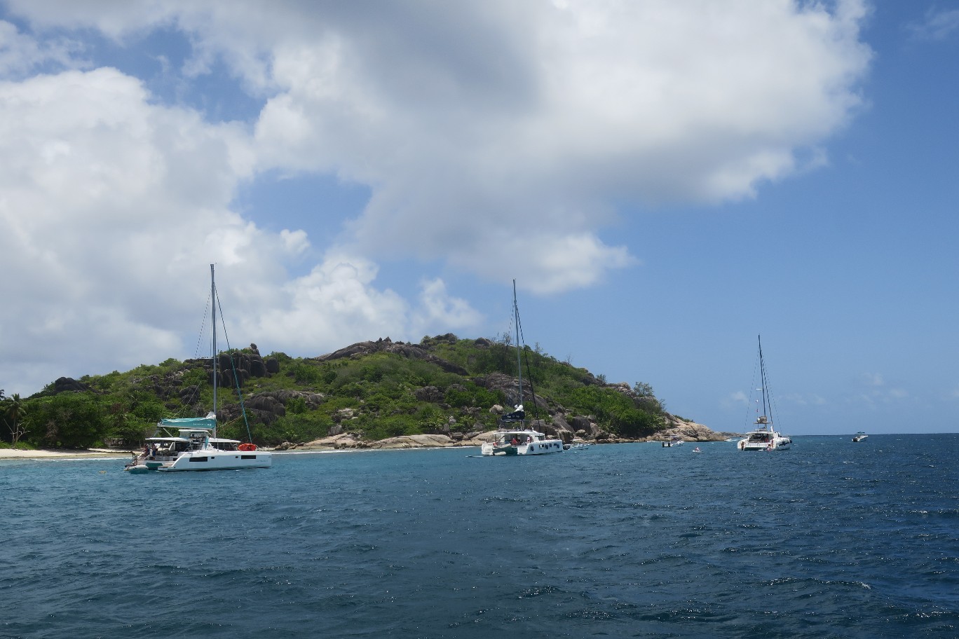
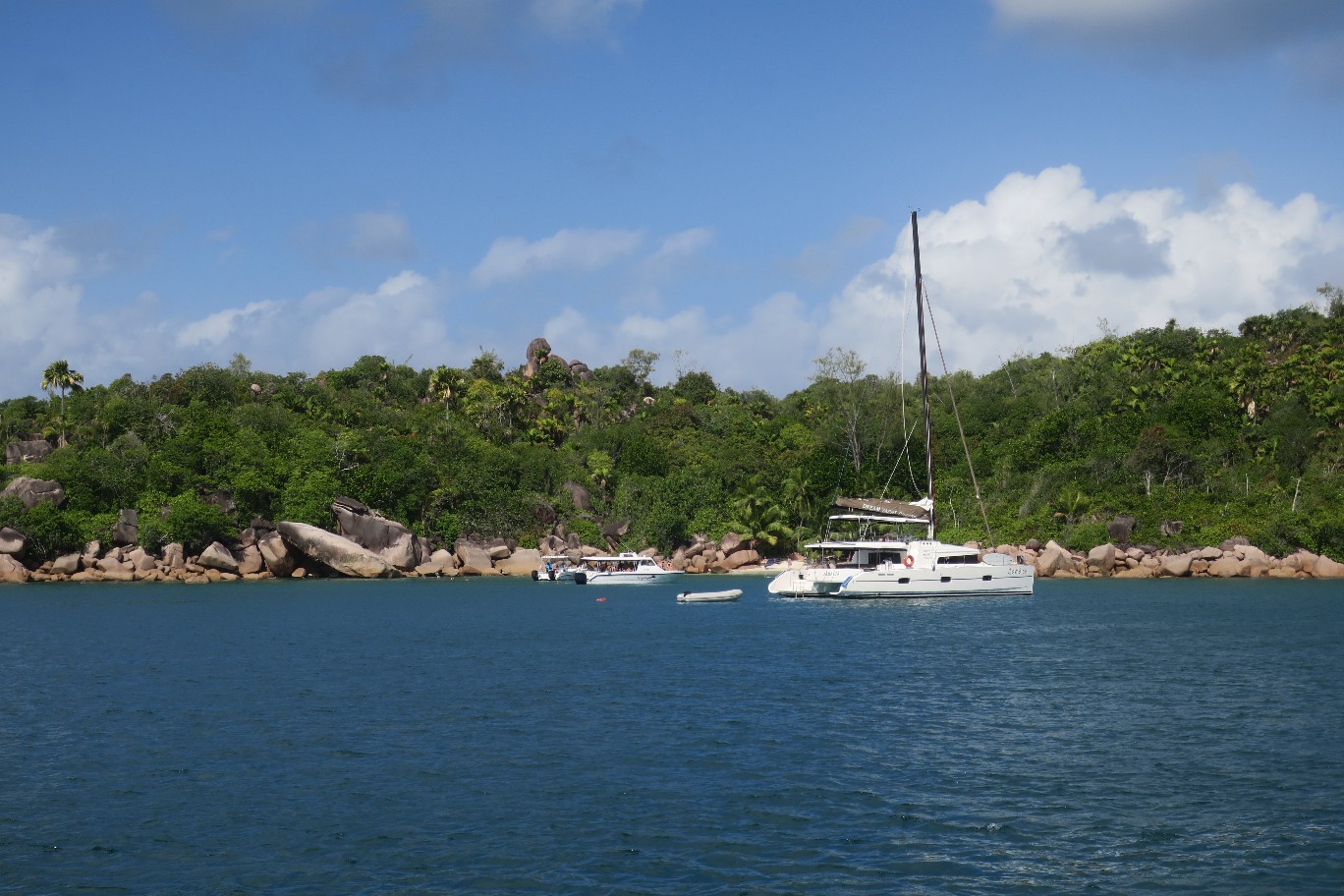
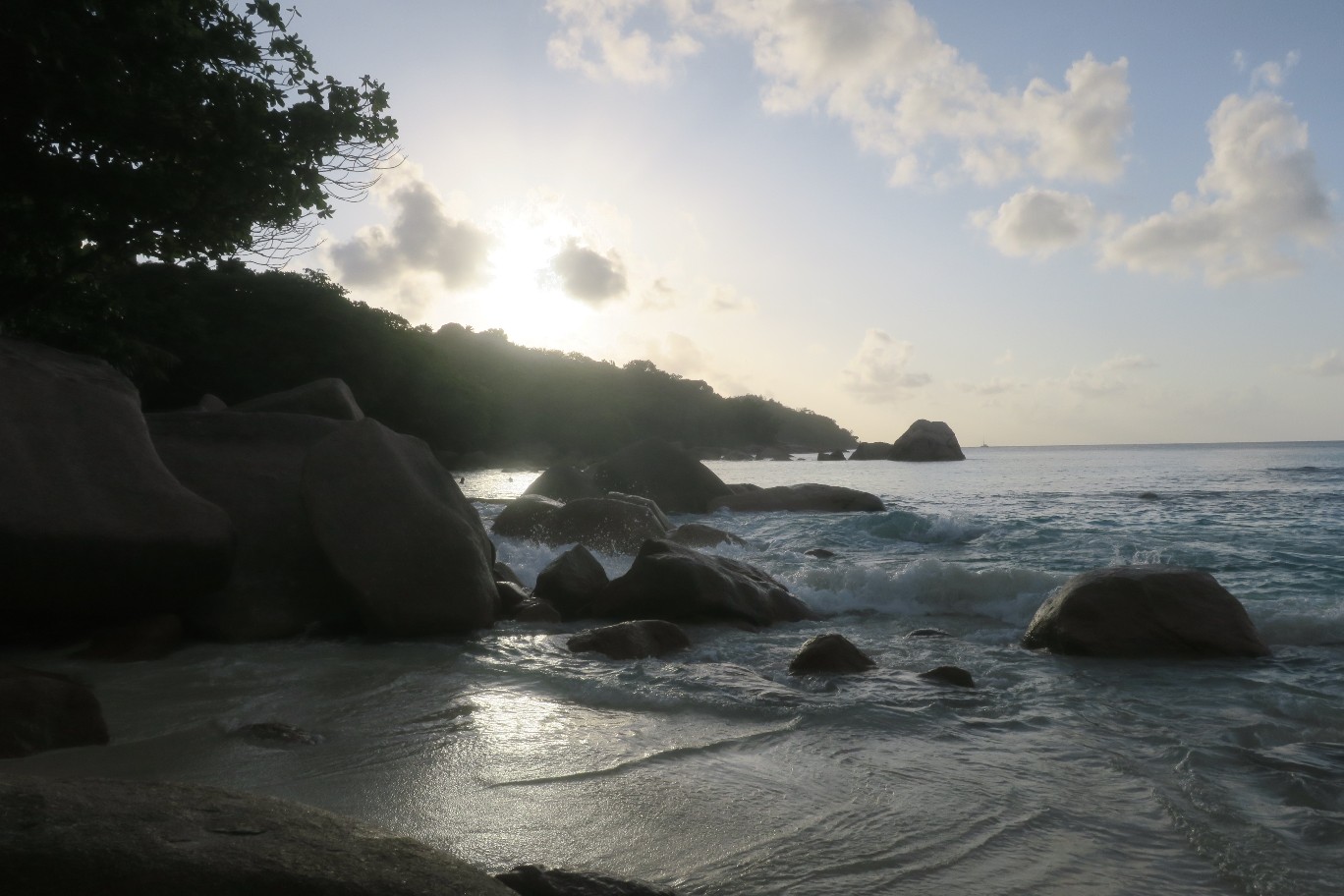
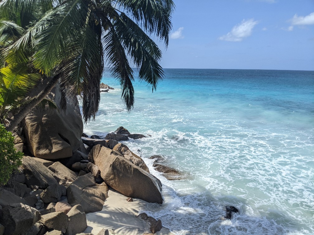
We got back to our boat around 12:30, cooled down for a while, and then we pulled the anchor and returned to our favorite bay, Anse Lazio.
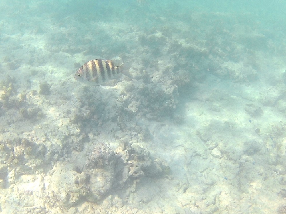
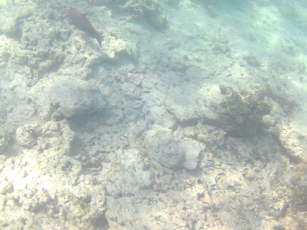
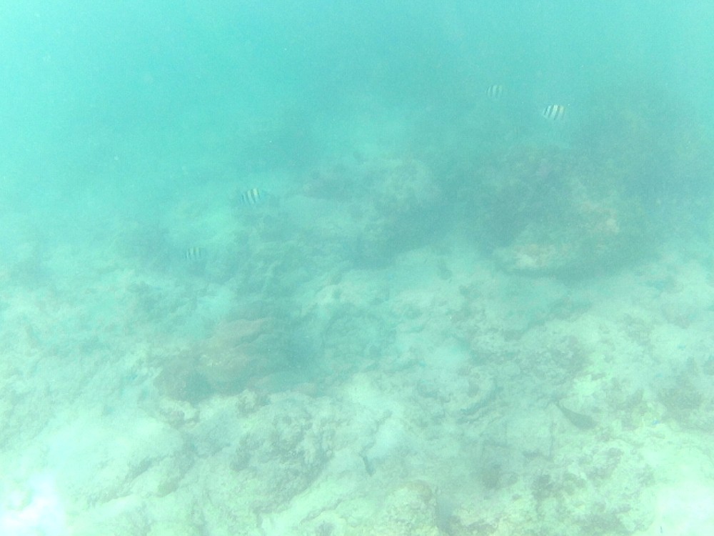
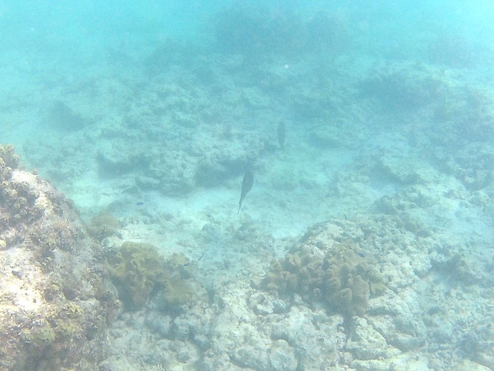
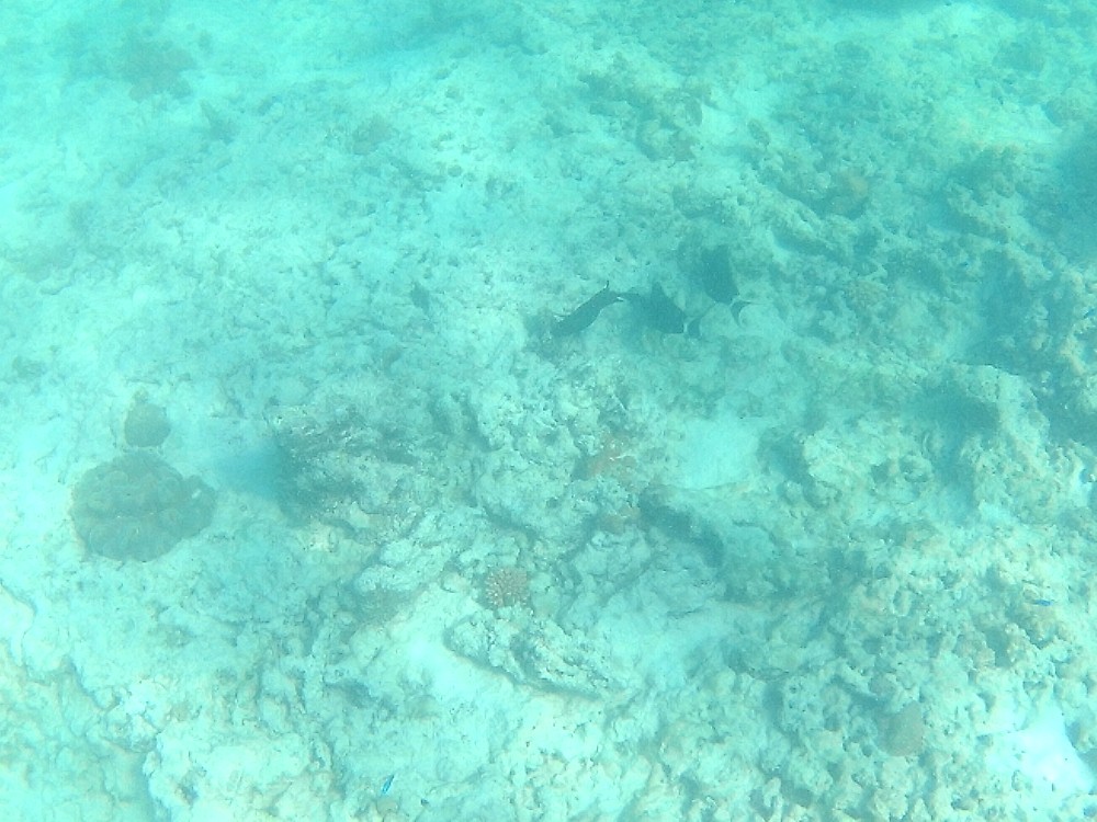
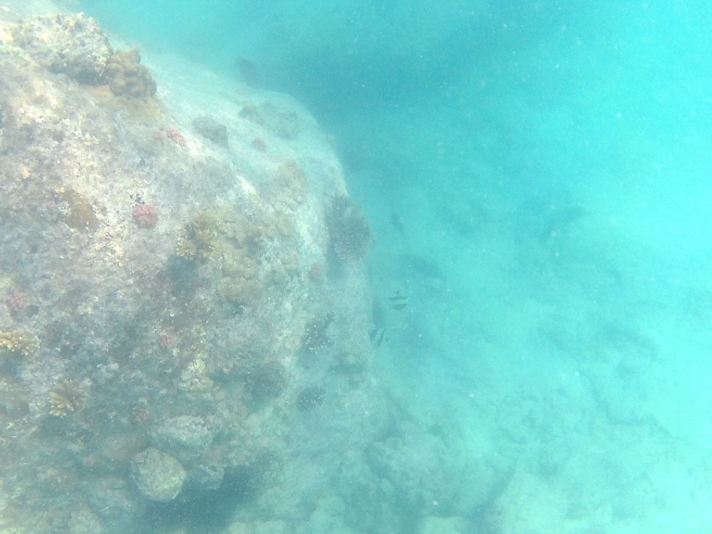
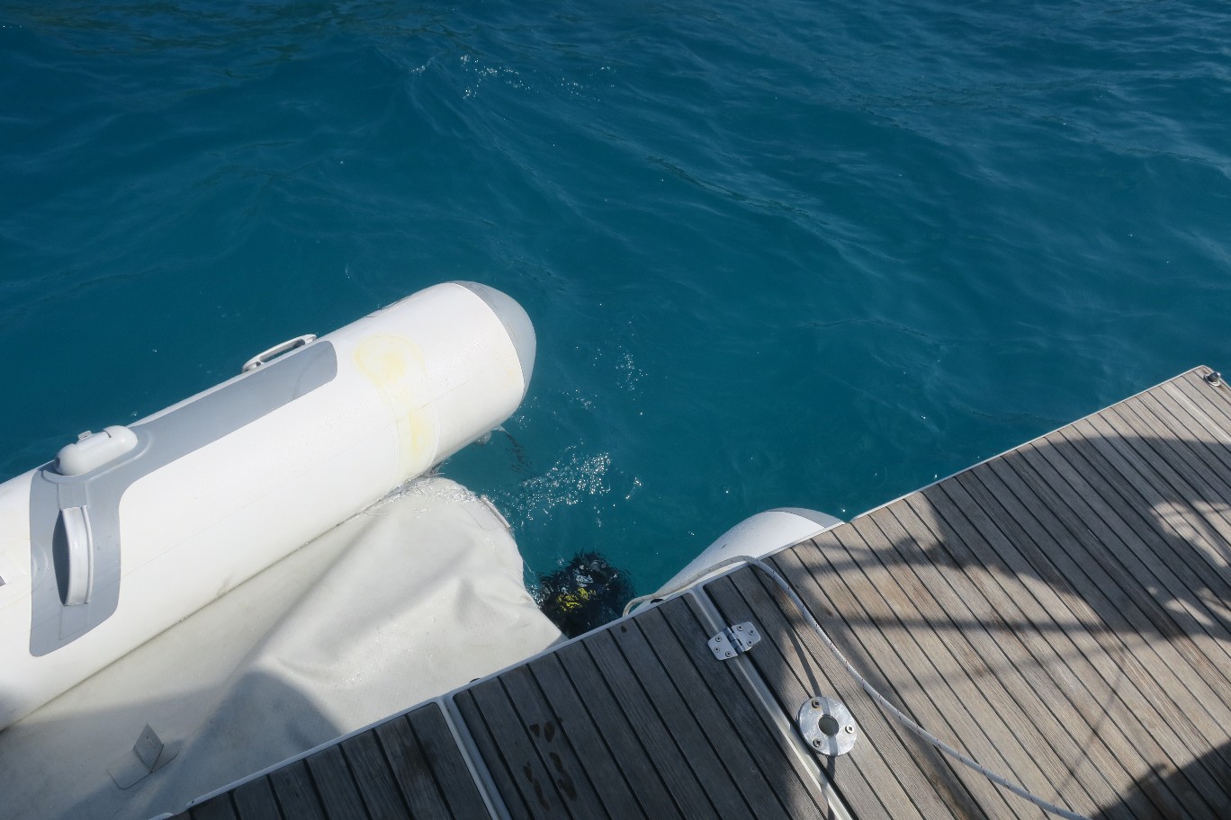
After we got anchored, I went snorkeling (Rick didn’t feel like going, but he watched me from the boat to make sure I was OK). Mostly I saw the same fish we saw the other day, but I also saw a squadron (yup, that’s right, skates come in squadrons) of 10 skates. I followed them for a while, but then they turned towards me and I was scared, so I got out of their way. I wish I’d taken the GoPro. The water looked like it had snow in it, which I think were tiny jellyfish. Every so often I would get a little sting from one of them which felt like a little pinch.
This evening Rick made macaroni and cheese on the boat for dinner.