This morning we were up early. We were leaving Irene’s and wanted to wash the sheets and towels as well as clean our room before we left. We got all our chores done and then left for Roberto’s house which is just outside of Basel, where the German and French sections of Switzerland meet. We met Roberto when we were in Argentina in January 2018. Roberto is the twin of Lili who we met last year when we were in Denia, Spain.
We arrived at Roberto’s around lunchtime. He showed us around and we met his daughter, Sarah. Interestingly he had a bomb shelter in his house. I guess all modern Swiss houses are required to have a bomb shelter.
Rick, Roberto, and I went into Basel for lunch and then walked around Basel. It has a charming, car-free center. We visited Basel Minister, a main landmark in Basel. Originally a Catholic cathedral and today a Reformed Protestant church, it was built between 1019 and 1500 in Romanesque and Gothic styles. Here are some pictures from our walk.
Then we took a ferry across the Rhine. The boat was attached to a cable with a rope. The current was very strong and the boat was diagonal to the current so the current pushed the boat across the river, no power required.
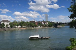
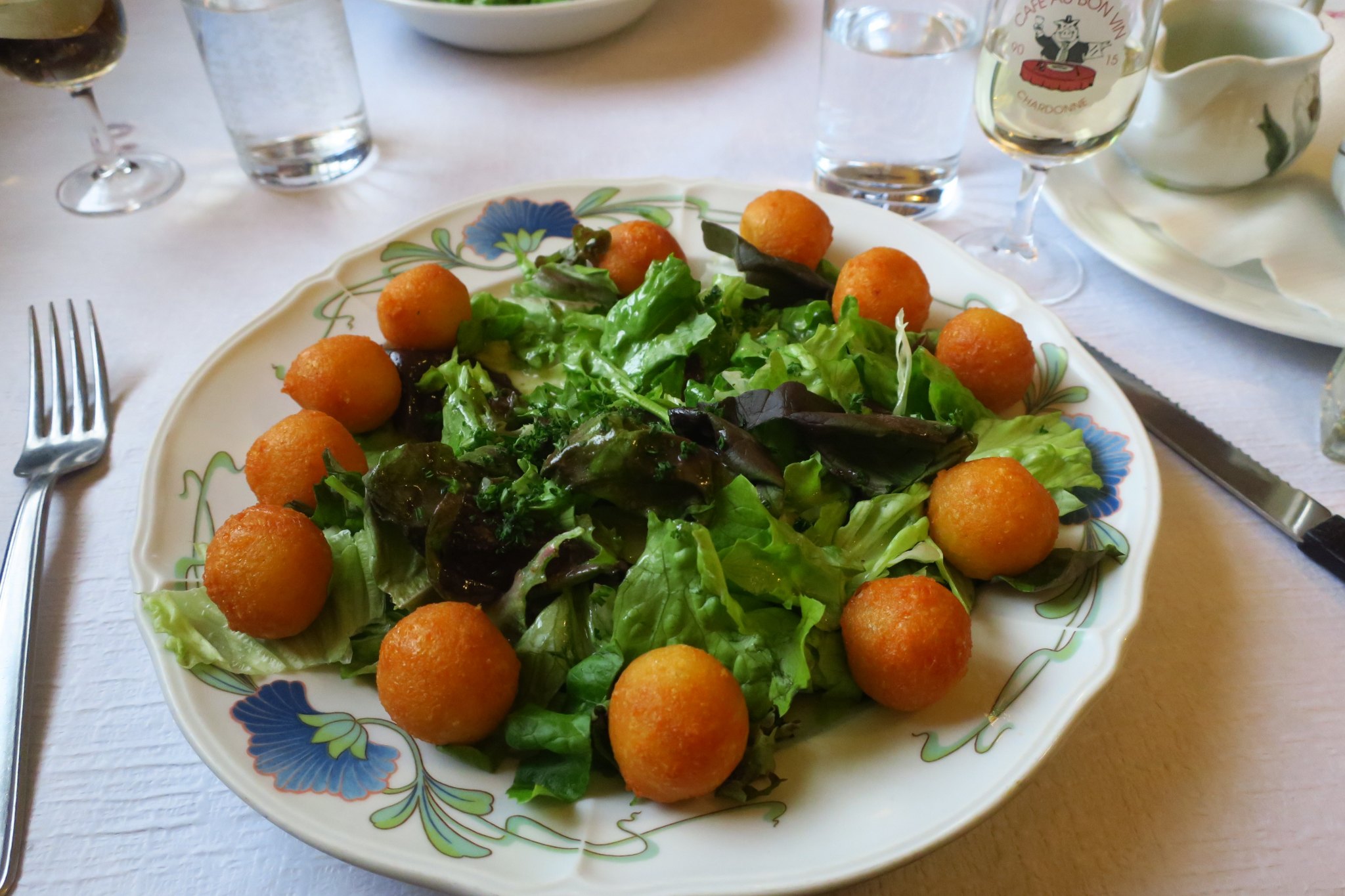
The other side of the river was equally as charming. We wandered around and then back across the river where we went to the Grand Hotel Les Trois Rois. This is a very fancy hotel, right on the edge of the Rhine, where Napoleon once slept. We had tea and coffee here.
At this point we returned to Roberto’s house for a glass of wine. Roberto speaks German and Spanish so I didn’t talk to him much.
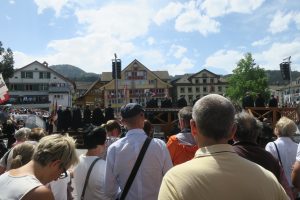
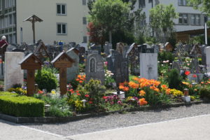
That evening there was a small public celebration in his town because the next day was May Day. The celebration consisted of a brass band and someone reading a poem. Afterward they served wine, beer, soft drinks, and snacks. We met some of his friends from the town. After leaving the celebration, we visited the local church where his wife is buried before going to dinner.
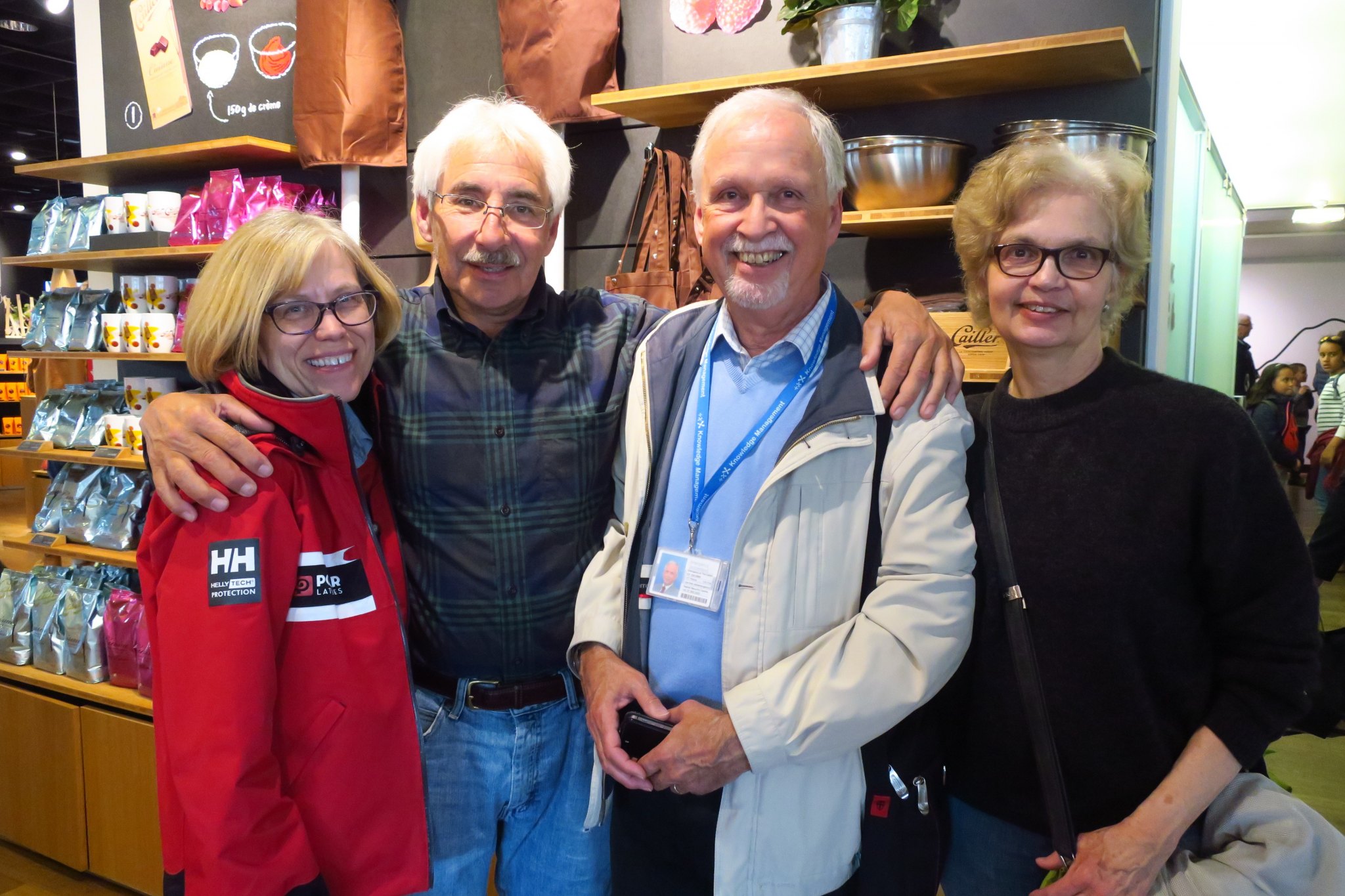
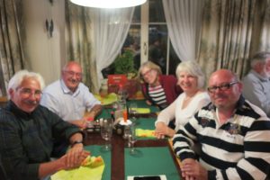
It turns out that Anny’s (we visited Peter and Anny on Saturday) daughter, Renata, lives in the same town as Roberto. We had arranged to have dinner with Renata and her significant other, Tom, as well as Roberto, of course. Rick hadn’t seen Renata since he took her and her brother, Thomas, to see the movie ET in 1982. They were very nice and we will try to see them on our future visits to Switzerland. Here is a picture of all of us.
That evening once we got back, Roberto got out some of his old family documentation. He had the boat ticket for his grandfather, grandmother, mother, and aunt from Hamburg to Buenos Aires in 1937. Rick and Roberto stayed up until 1 talking about the family history.