We had a great night’s sleep in the nice calm Baie Pasquiere. We were one of only three boats in the bay.
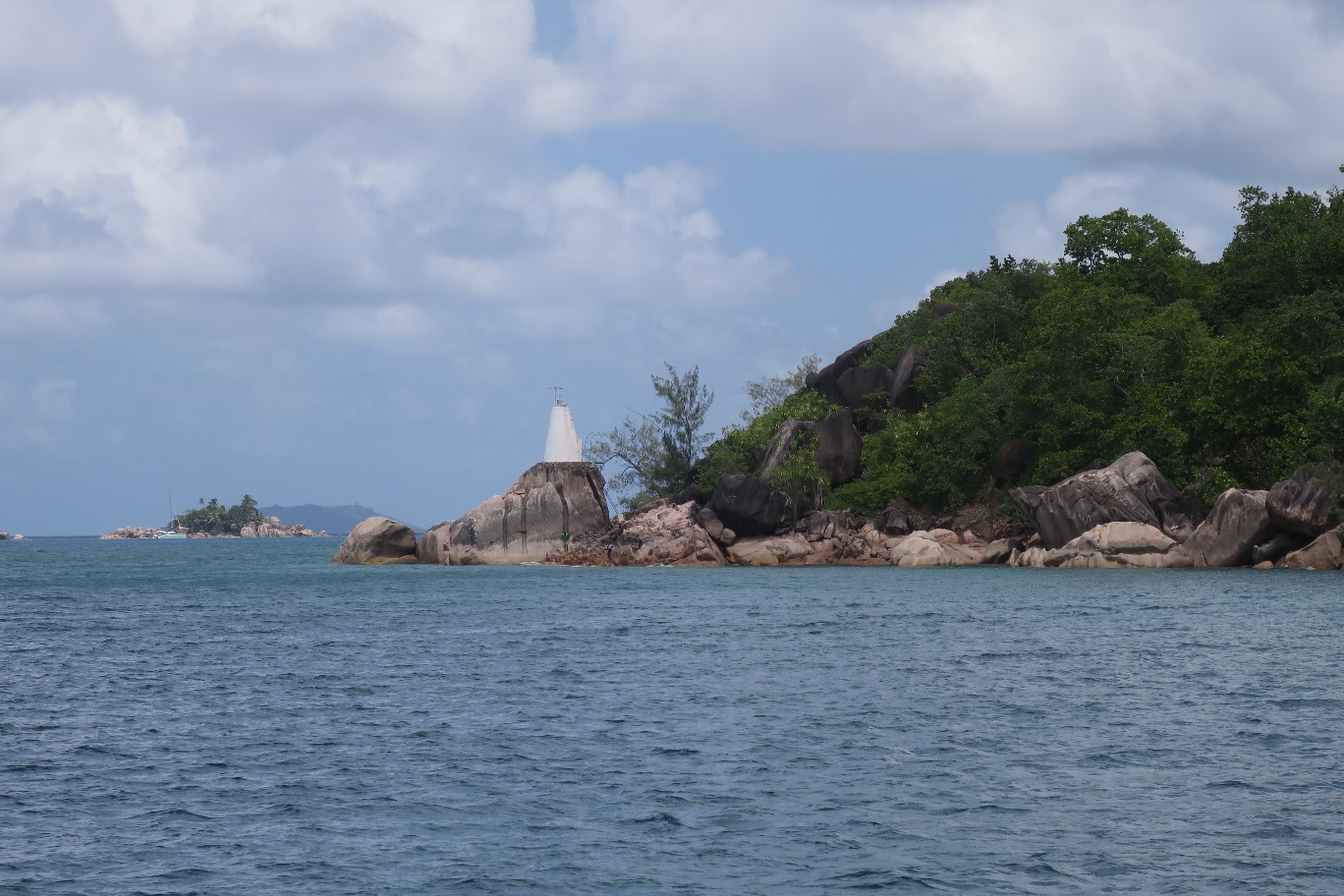
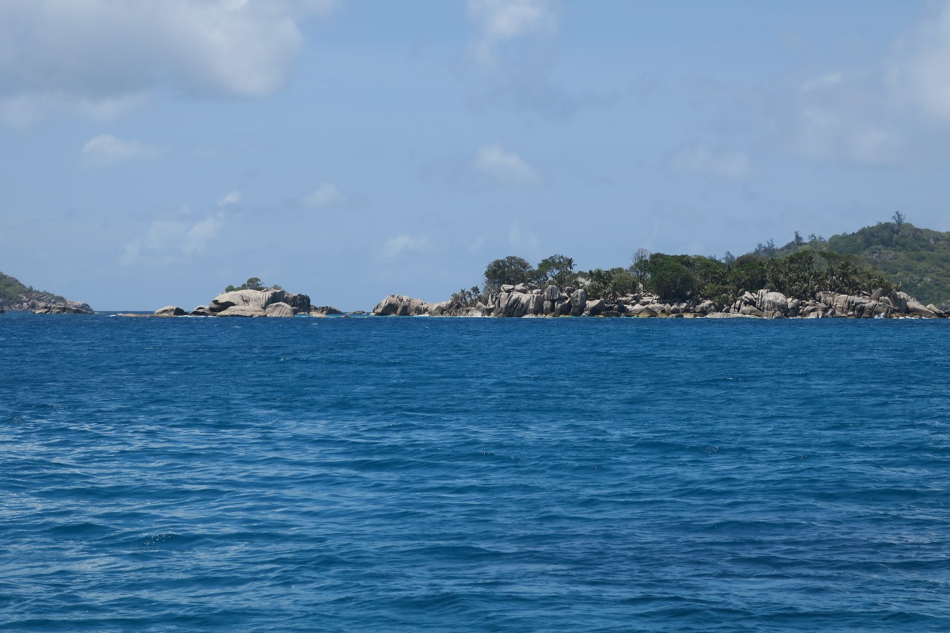
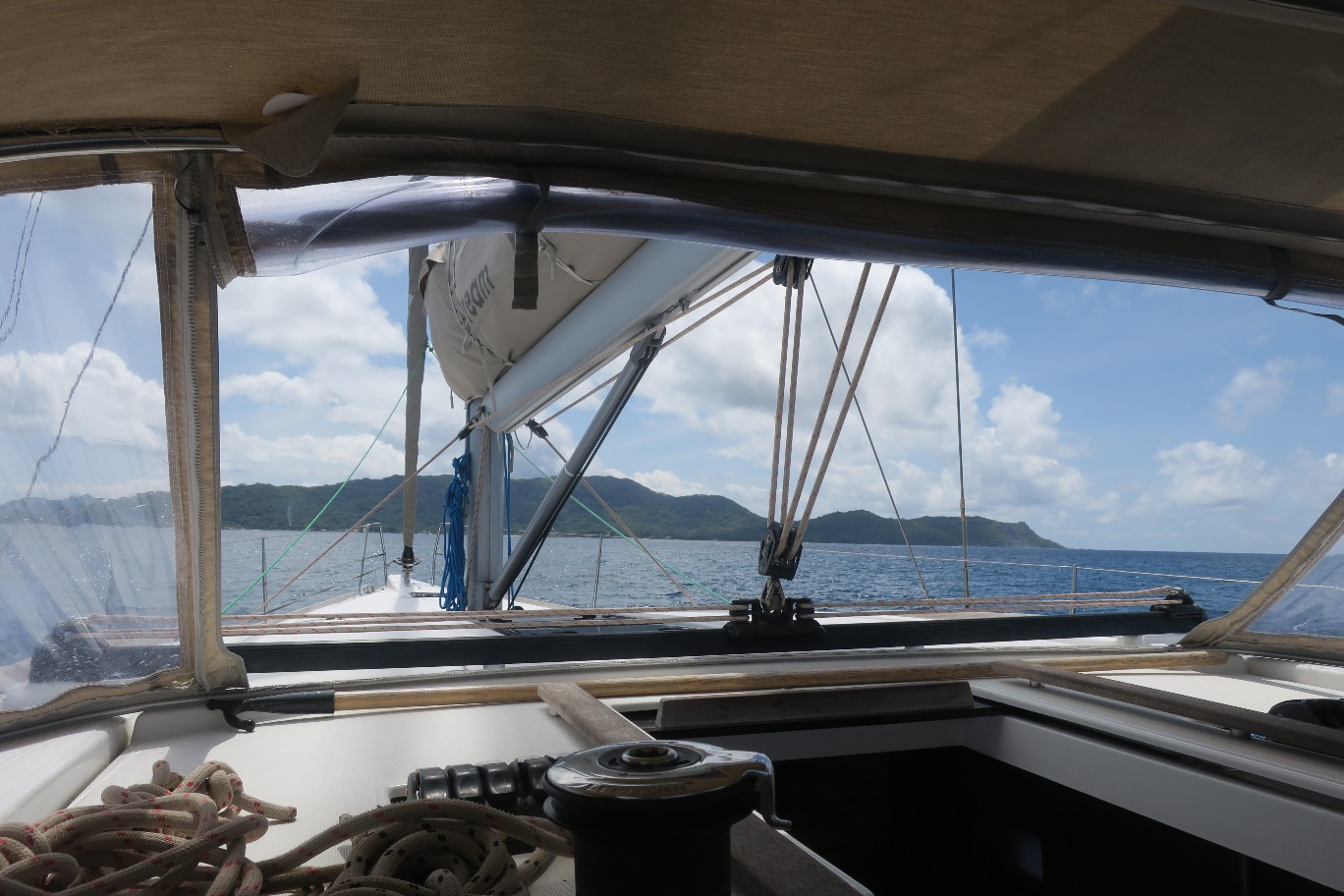
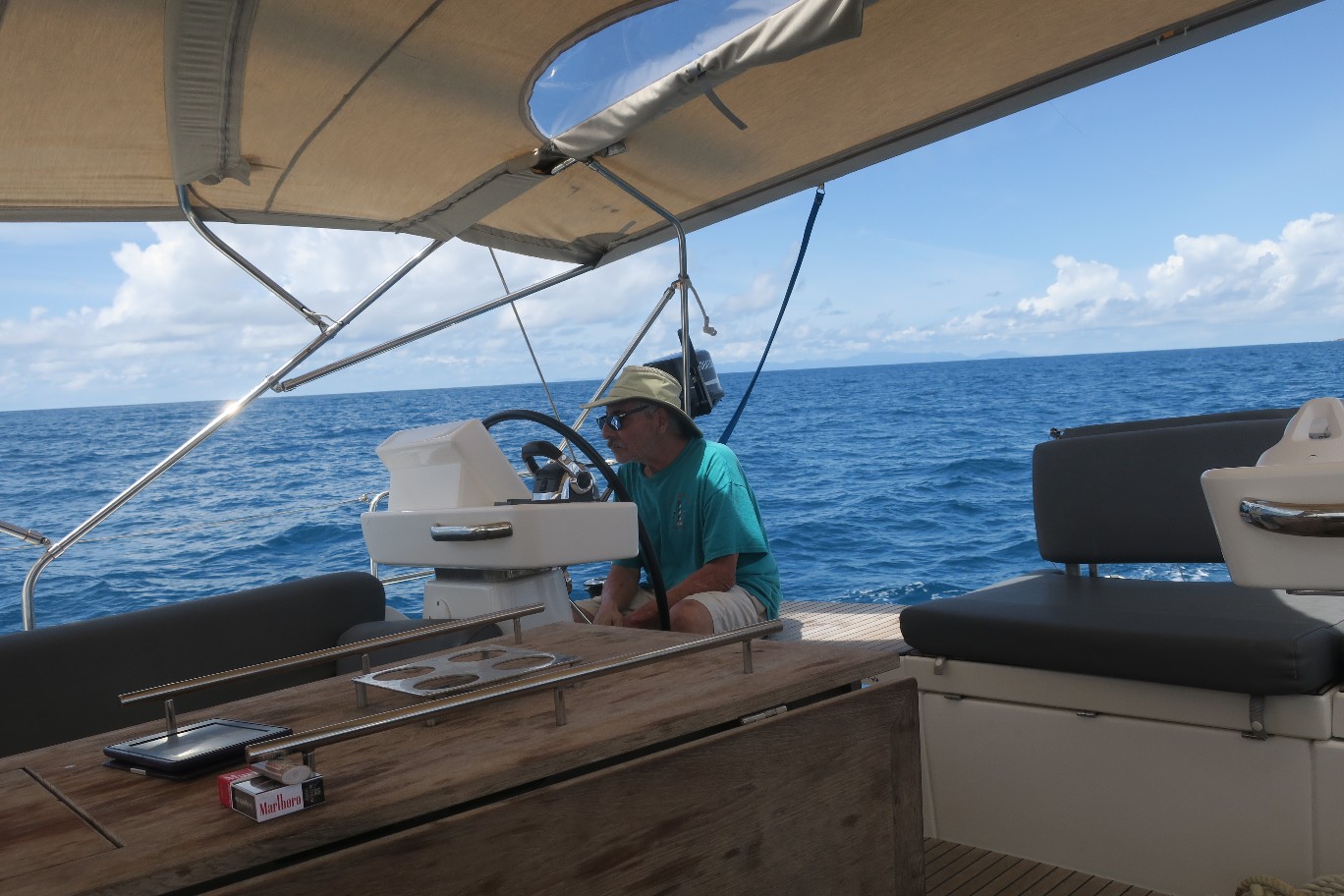
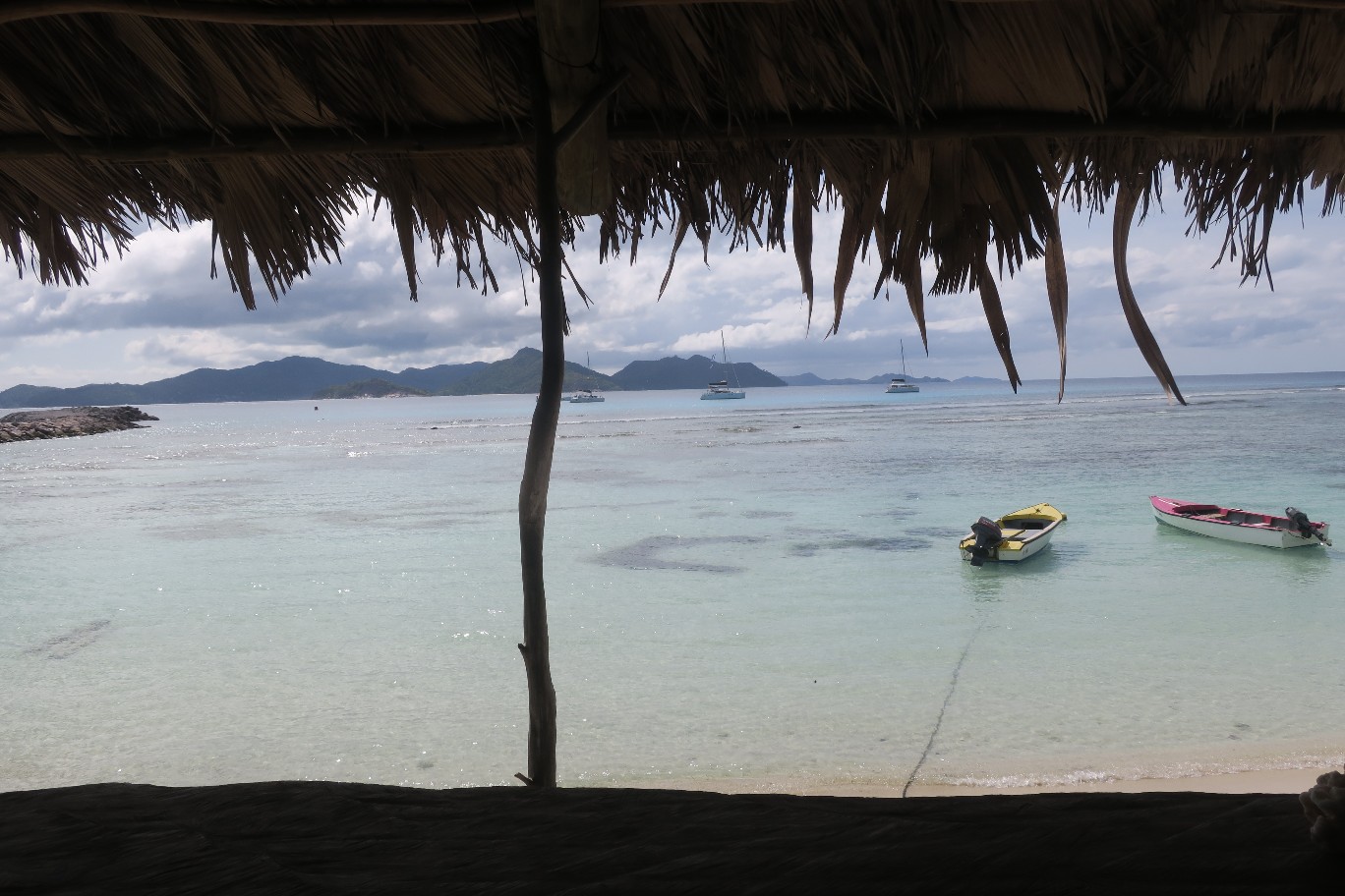
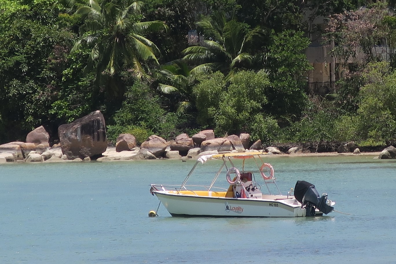
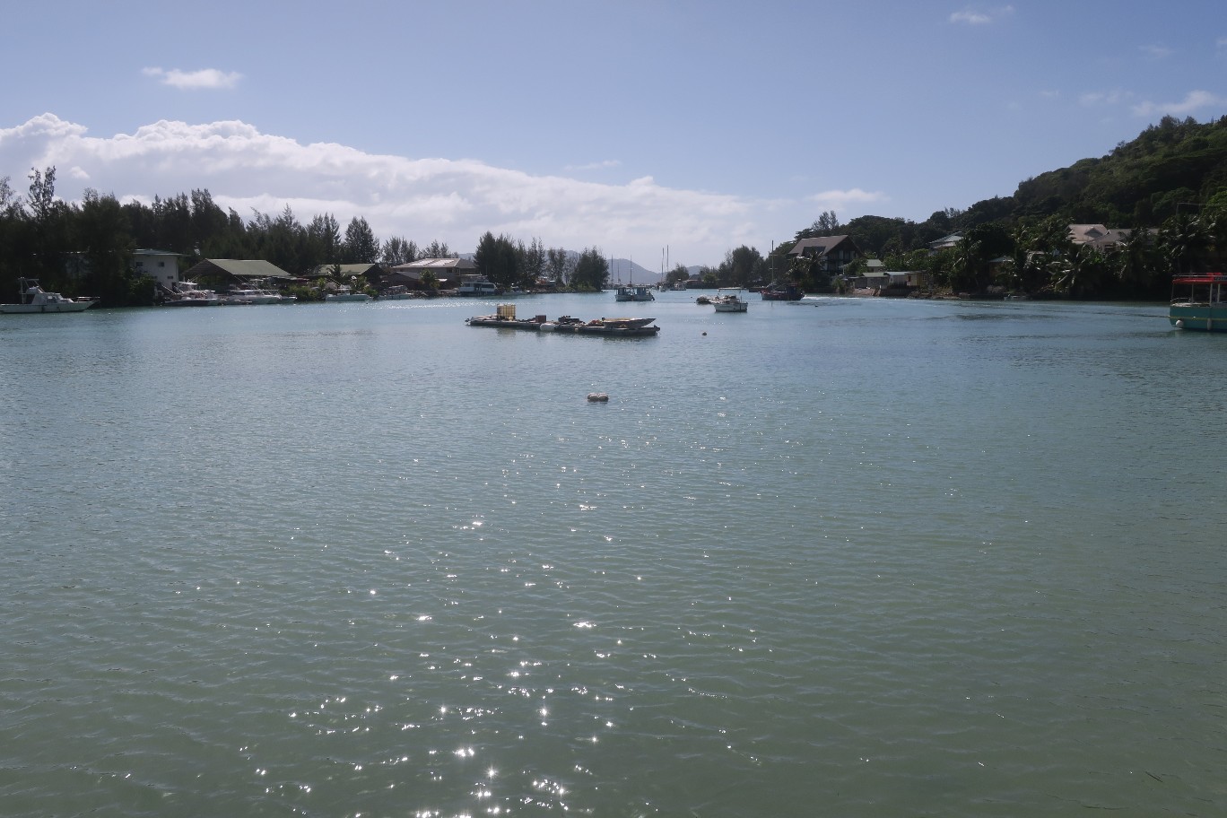
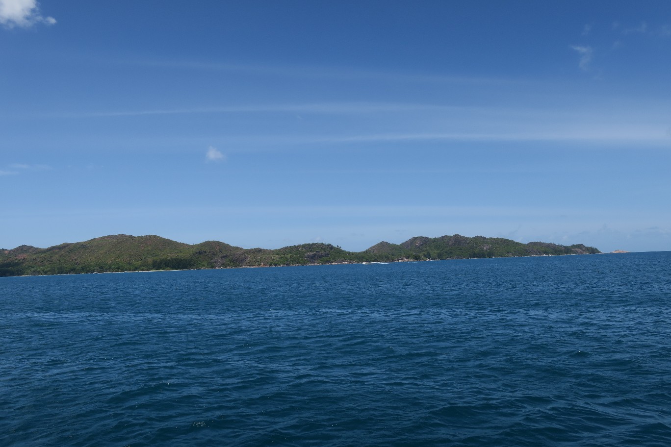
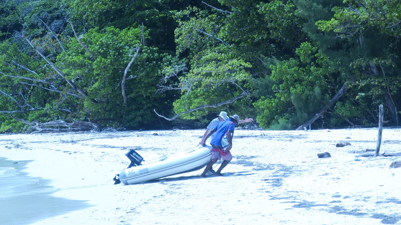
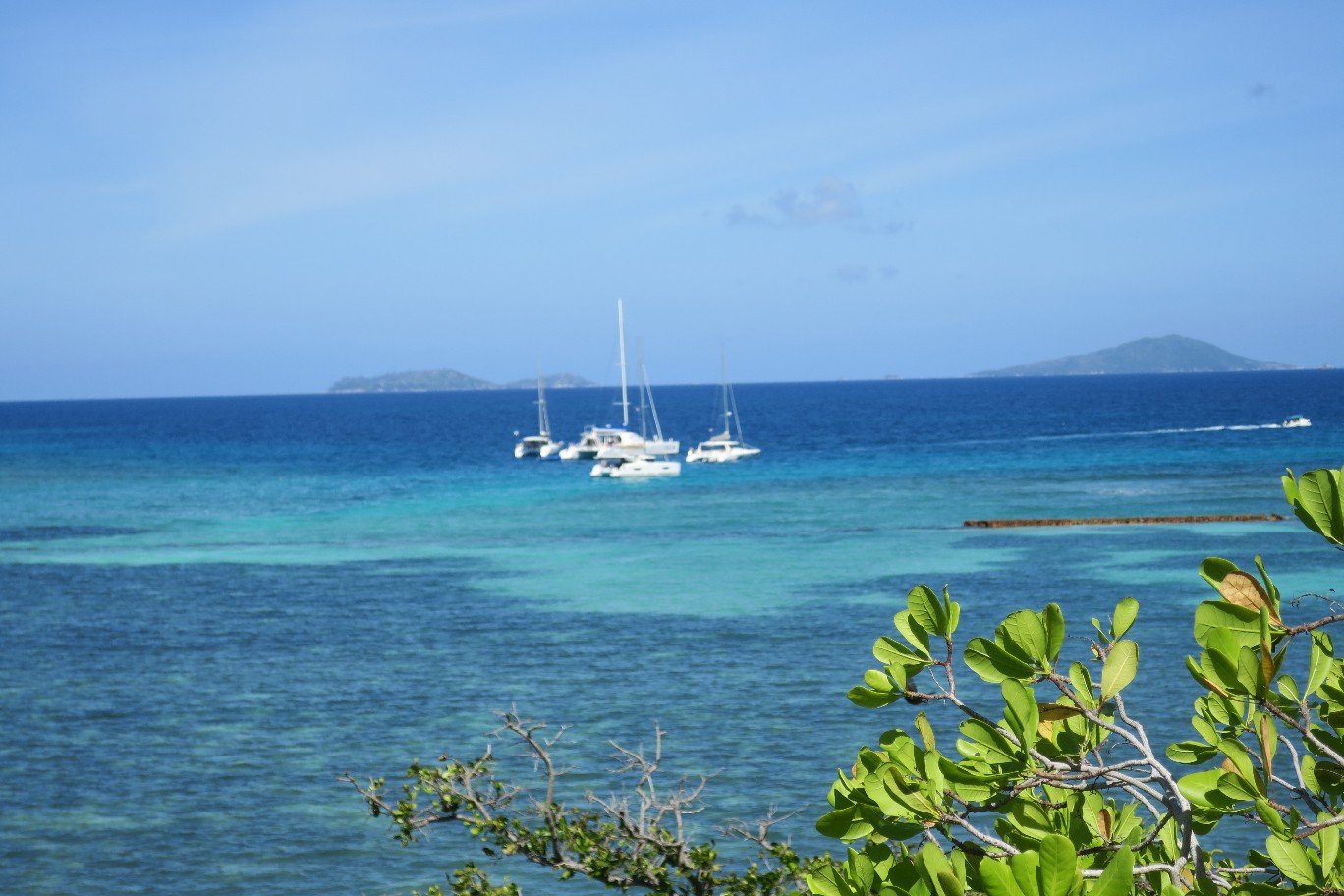
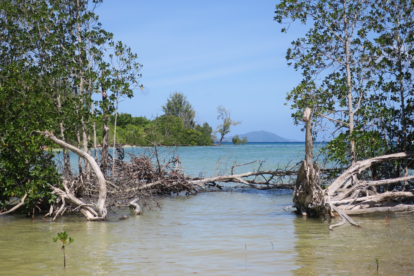
It was a leisurely morning of discussing and planning our next stops. After lunch we headed over to Curieuse Island, which was right across from where we were anchored. It was too far to dinghy so we pulled the anchor and moved the boat. We reanchored, dinghied ashore, and beached the dinghy.
Curieuse Island is a national park. Ron, a park ranger, told us a little about the island.

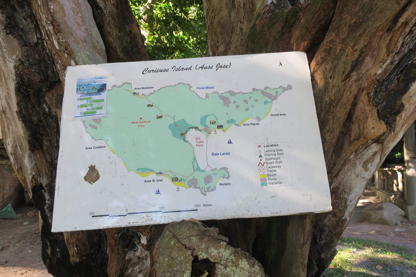
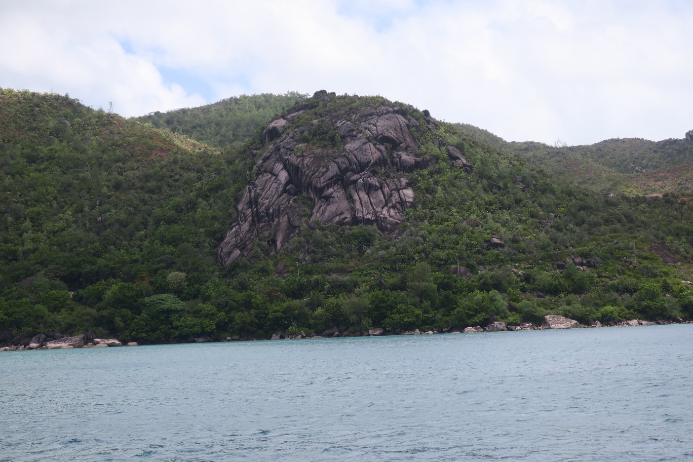
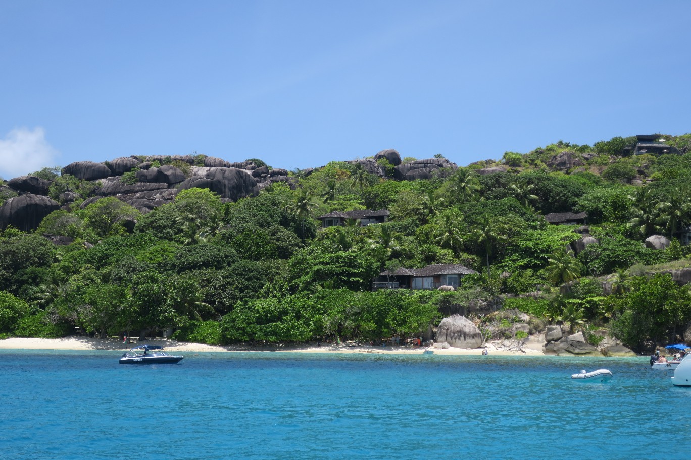
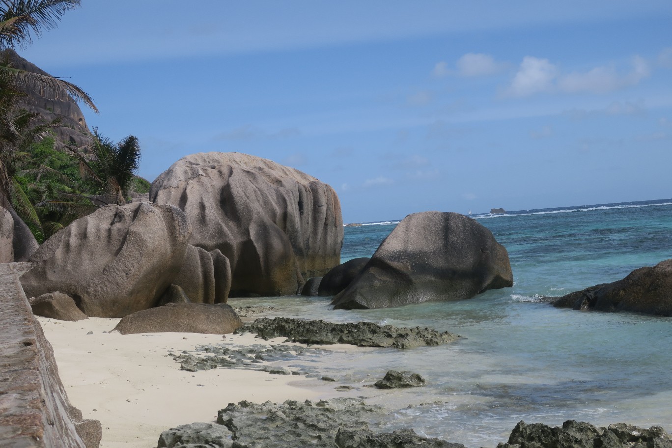
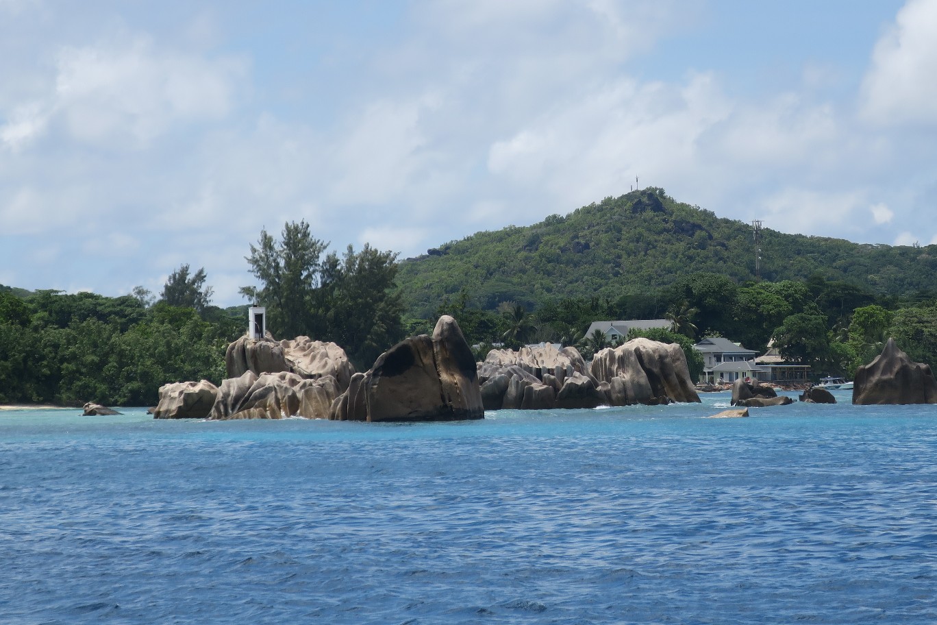
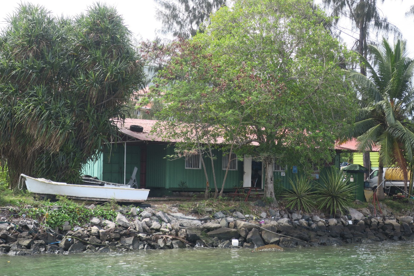
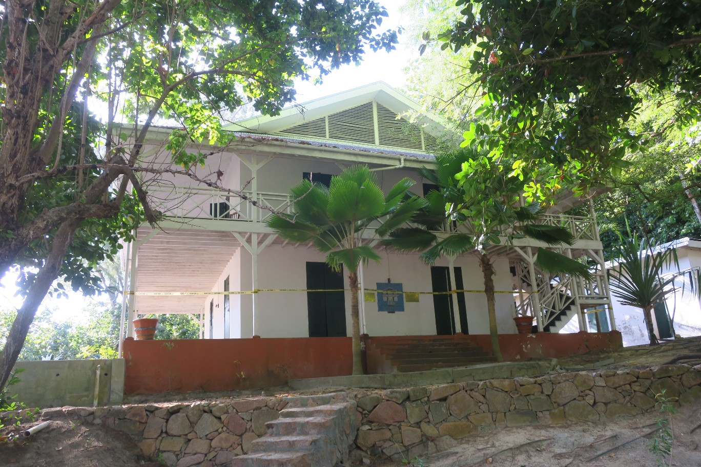
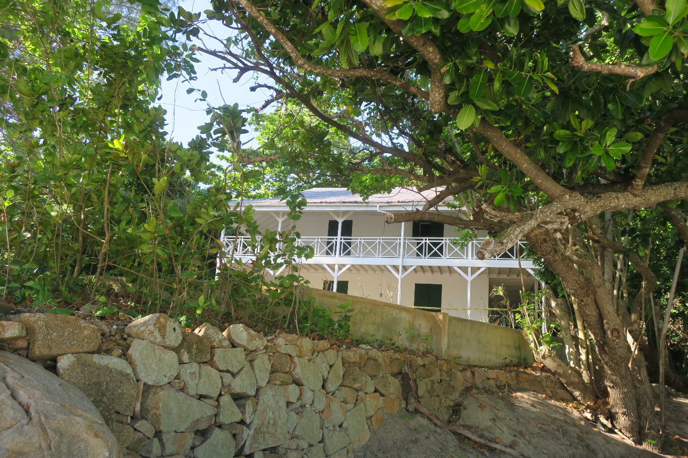
The Seychelles consists of 115 islands and Curieuse is the fifth largest, behind Mahe, Praslin, La Digue, and Silhouette. It was named Curieuse because the explorers who discovered the island were sailing in a boat named . . . (wait for it) . . . Curieuse or Curious in English. For many years it was a leper colony. There was a large house near where we came ashore which had been the house of the doctor who took care of the lepers. Typically we could go in but it is closed now due to instability resulting from termite damage.
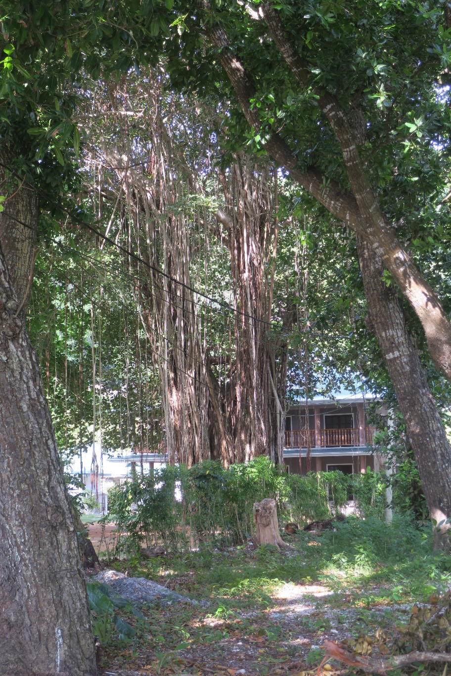
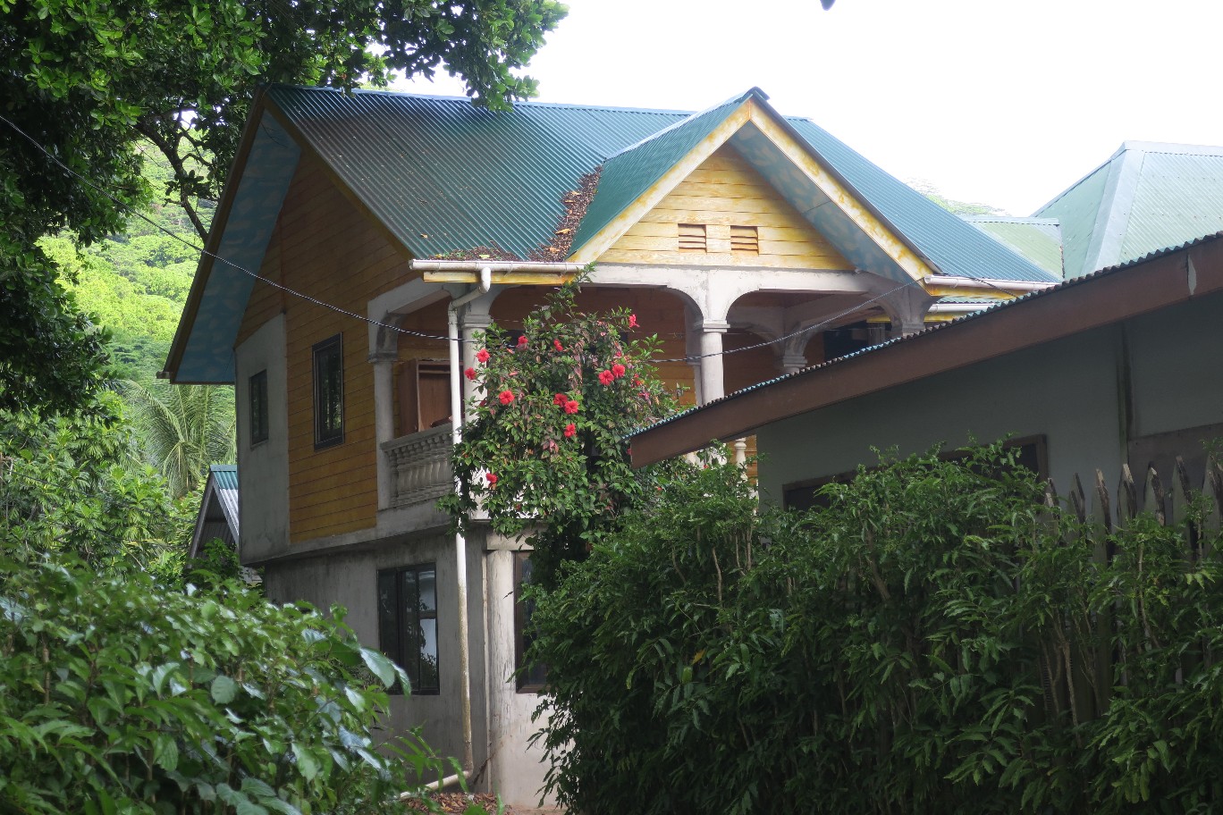
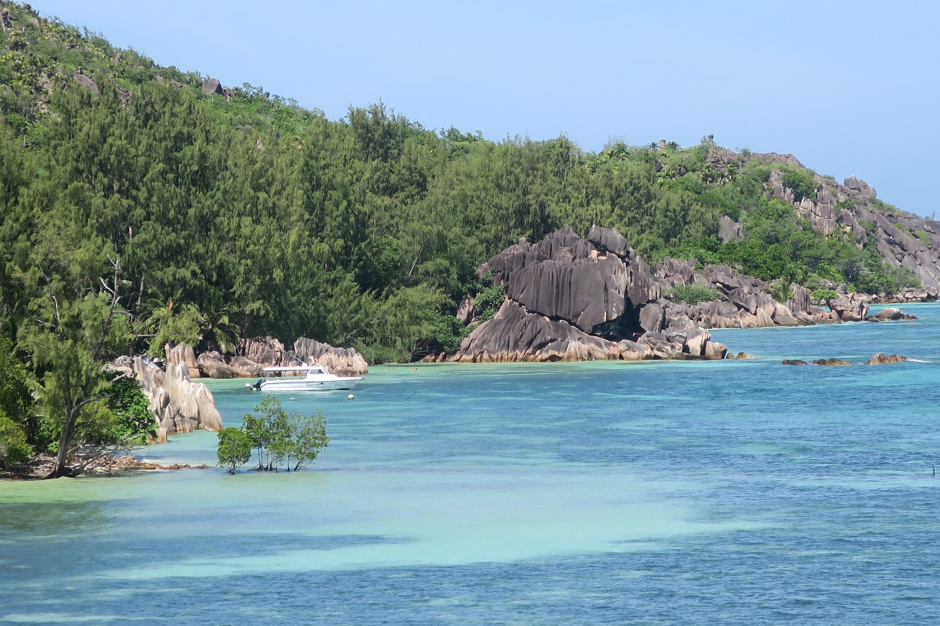
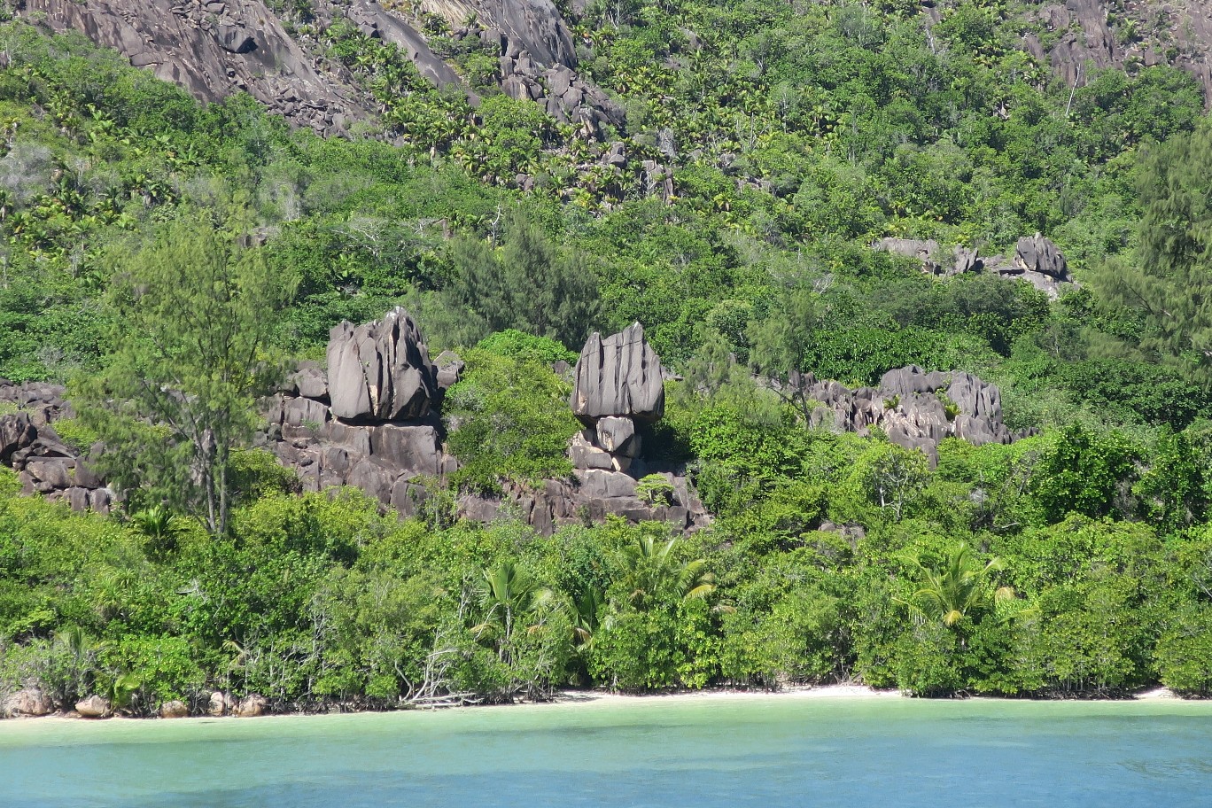
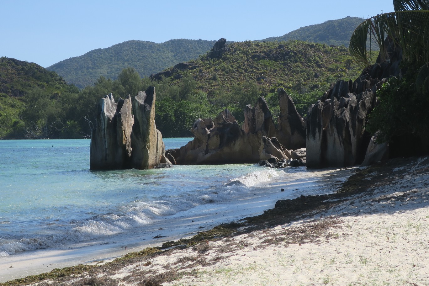
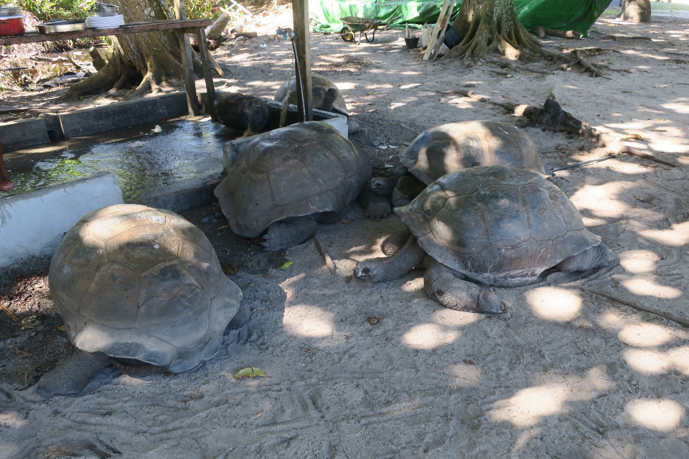
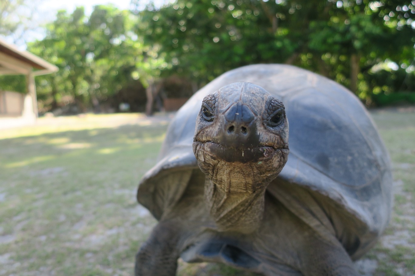
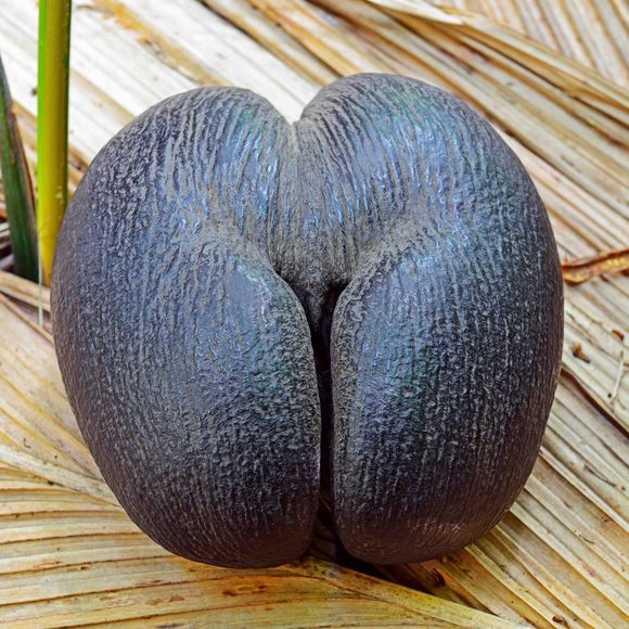
More recently the island was designated as a national park and a home for about 100 giant Seychelle tortoises. It’s also one of two locations that you can find the Coco de Mer tree, which is the national symbol of The Seychelles. Ron recommended we take the 1.7 km path to Baie de la Raie to see the tortoises. It had some ups and downs and some boardwalks through the mangroves. It was good gorilla trekking preparation for Rick. Here are some pictures from the walk.

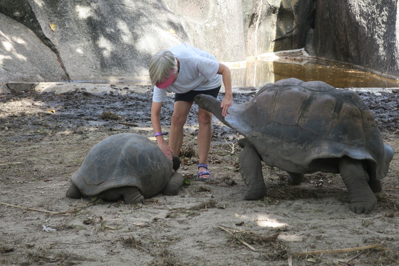
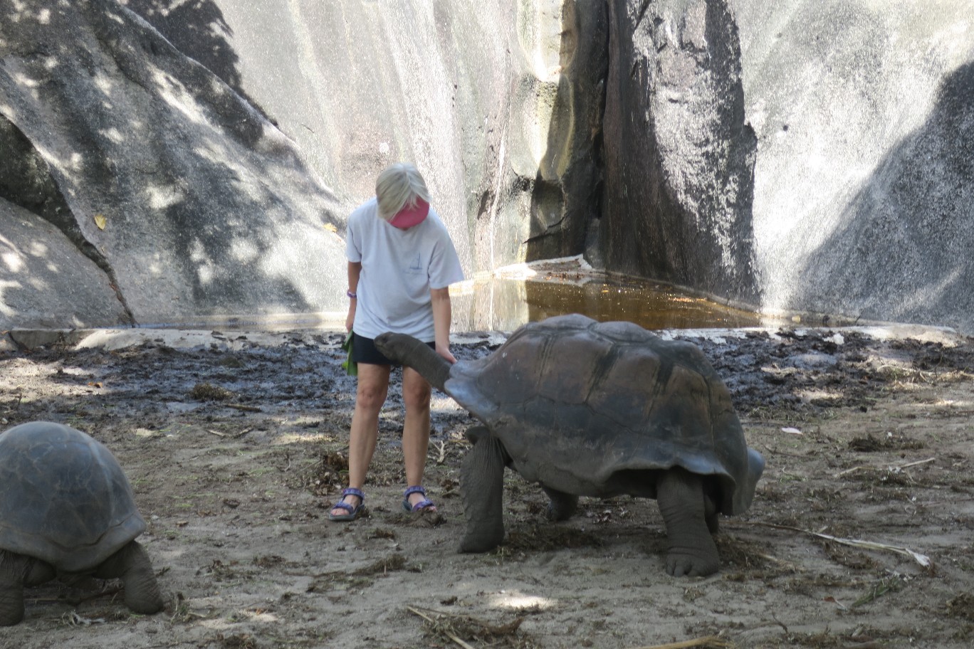
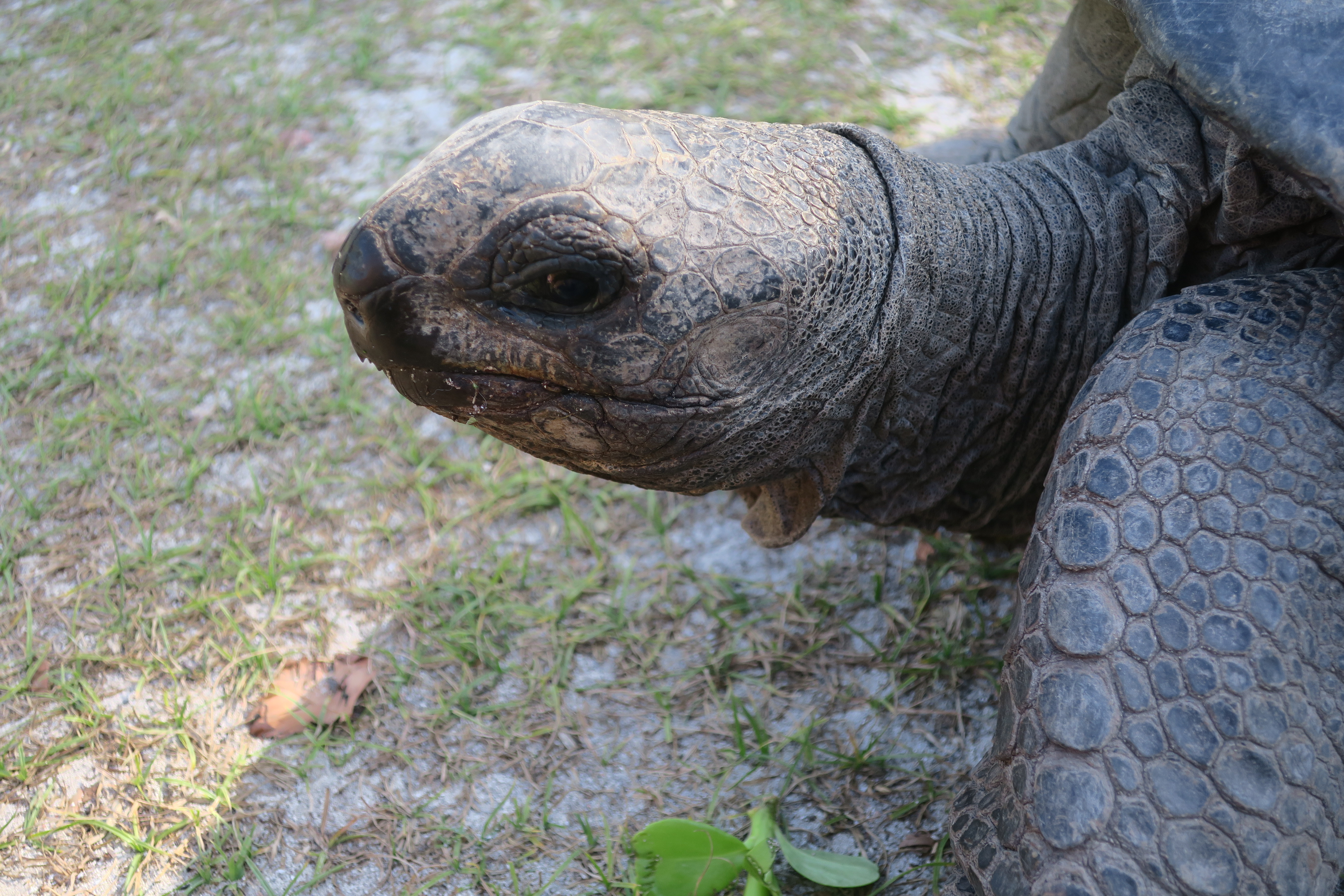
We got to the other bay and there were the tortoises. I tried to pet one but he started to move towards me and almost stepped on my foot. I lifted his shell and slid my foot away.
I found another smaller one, sat down and started to feed him (I don’t really know if it was a him or her) some of the surrounding mangrove leaves. He ate the leaves but once I started petting him he wasn’t interested in the leaves anymore. I spent about a half an hour rubbing his neck. I wanted to bring him home, but then I’d definitely be over the luggage weight limit!


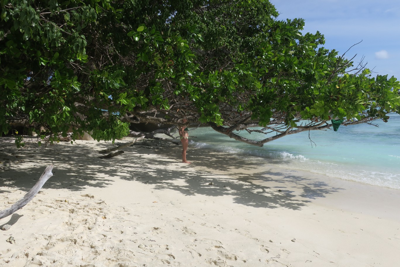
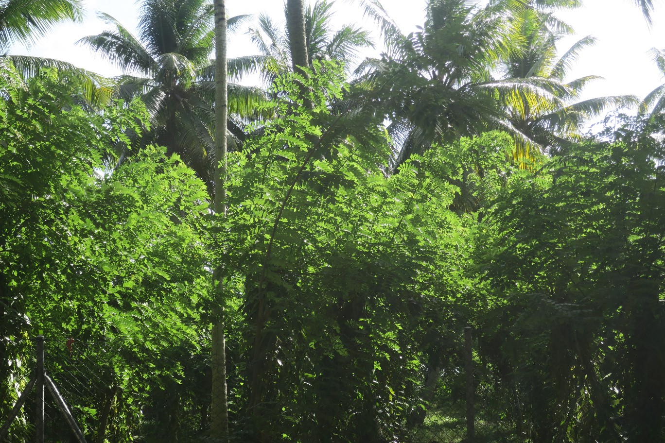
On the way back to the boat I was looking for the Coco de Mer trees. The Coco de Mer tree produces the largest nut in the world. It takes 5-10 years to mature and has a very interesting shape. I didn’t see any of the nuts, but I think I saw the trees.

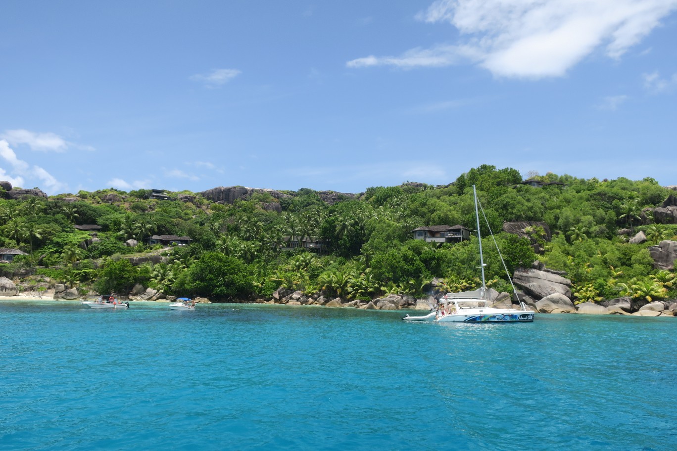
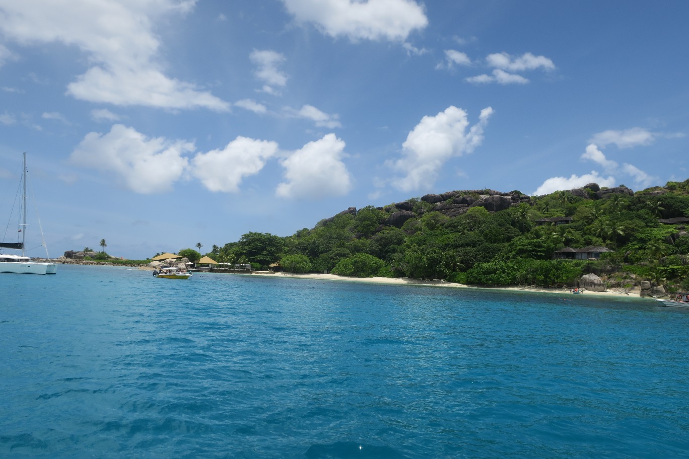
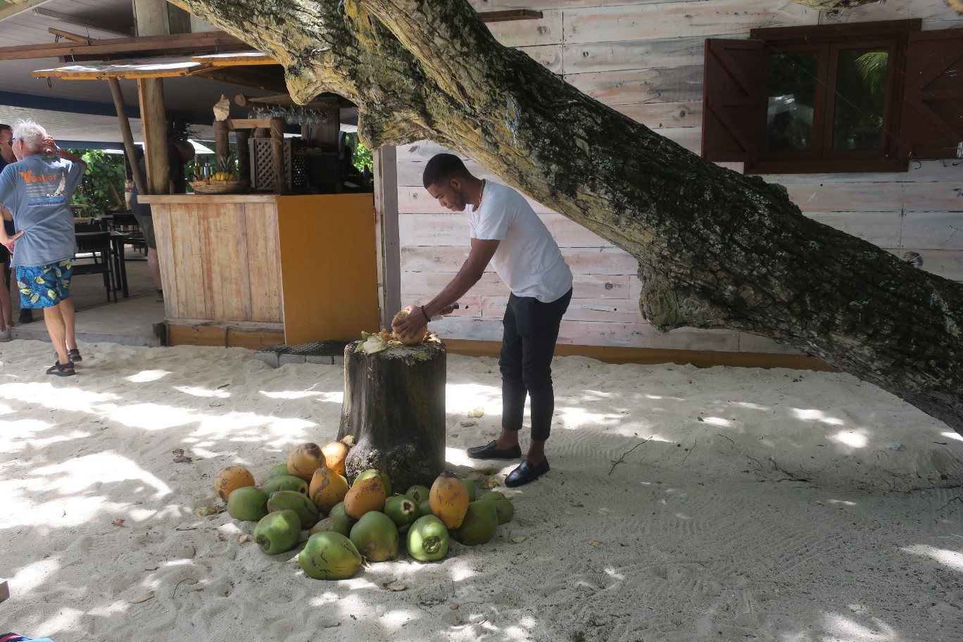
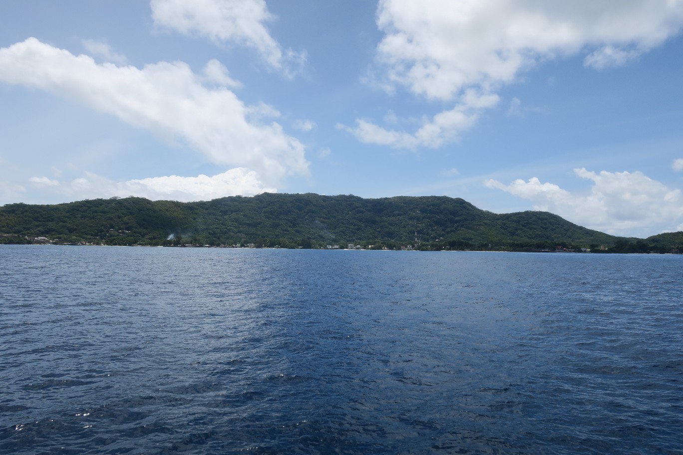
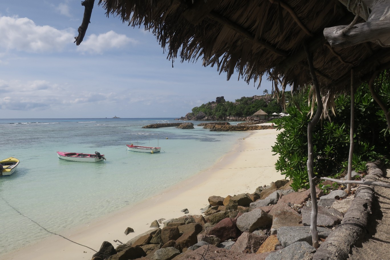
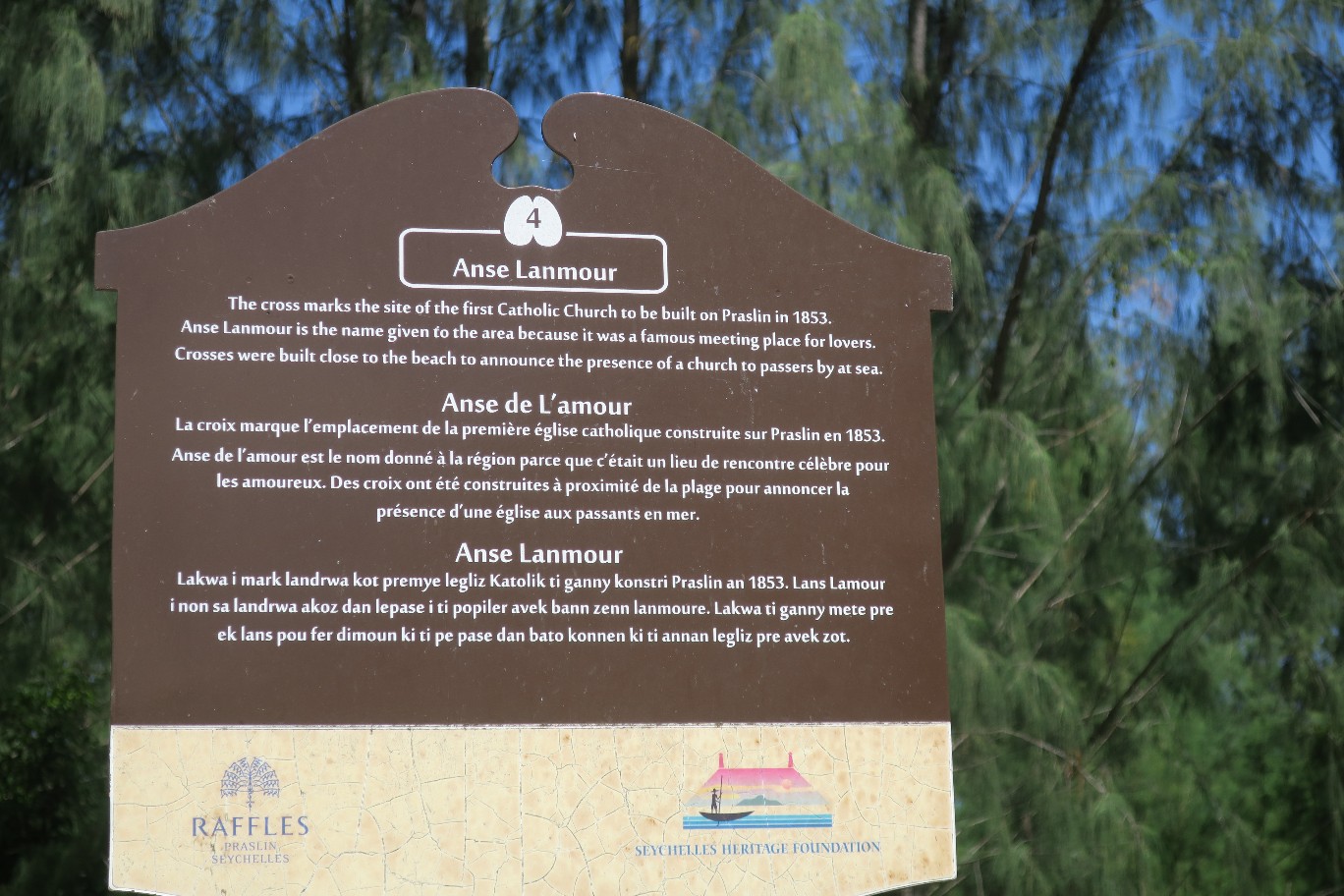
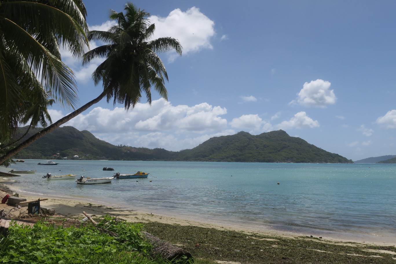
We got back to our dinghy and rested for a few minutes. We planned to return to the same anchorage as the previous night. It is close to a resort called Raffles and Rick was hoping to go to dinner in one of their restaurants, so we called from Curieuse to see if we could get a reservation. If we could, we would anchor closer to the resort, however we were told that the restaurants are for guests only. Too bad. We returned to the boat and moved it back to where it was last night.
It was a quiet evening of dinner on the boat.
An interesting note, I asked Ron, the park ranger, if the Seychelles ever get hit with hurricanes or typhons. He said no because the Seychelles are only about 4 degrees south of the equator and cyclones can’t form on the equator. Islands further south, like Madagascar and Reunion Island, are vulnerable to cyclones. They impact the weather in the Seychelles, but not seriously.
Ron told us about the 2004 tsunami. It took about 8 hours to get to The Seychelles after it hit Sri Lanka, so they had plenty of warning. Still many people didn’t know what a tsunami was, so they weren’t sure what to do. He was working at a resort at the time and people told him that the water on the beach was gone. At first he just told them it was low tide but then he went to look for himself and saw lots on fish flipping and flopping on the beach. He saw the wave coming and ran. He was fine and only two people died in the Seychelles. He said after the wave retreated the swimming pool was full of sea creatures.