March 4, 2018

Today was a free days so we continued to explore the island on our scooter. We went to sites where we wanted to get additional pictures.

One thing I haven’t mentioned is all the horses. According to Patricia, horses used to be a sign of wealth because there were critical to traveling and farming. Today people still use horses as a status symbol even though they are not really used anymore. There are horses everywhere mostly roaming freely and eating the vegetation. They are branded so they are owned by someone. Here are some horse pictures.

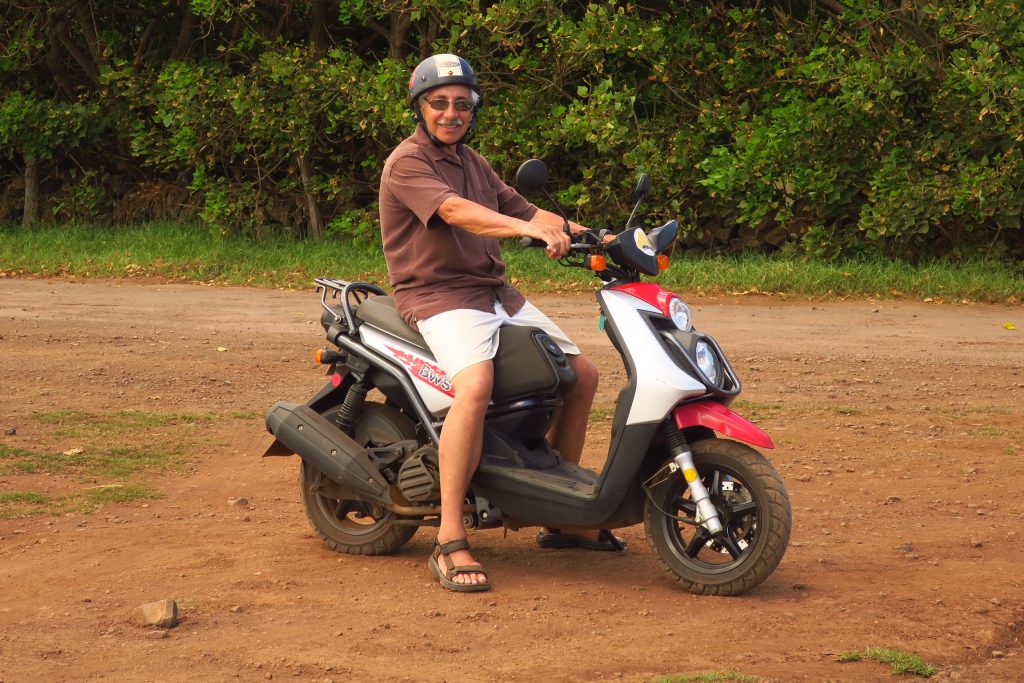
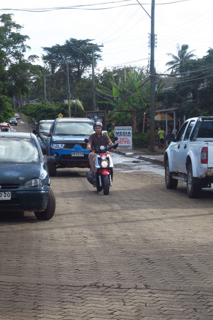
That evening we had to return our scooter. Here’s a picture of Rick on the scooter.

We had hope to see our friends, David and Alison, people we had met on the ship and whose itinerary overlapped with ours. Unfortunately their flight was 5 hours late so we didn’t connect. Hopefully our paths will cross sometime in the future.

March 3, 2018

We were up early to take pictures of the sun rising over the moai. We set off on our little scooter and after getting lost once or twice ended up at Tongariki, the site with 15 standing moai. There were a lot of people there taking pictures.  It was beautiful to see the sun rise behind the moai.

We went back to the hotel and had breakfast before Patricia picked us up. She took us to the local museum and then showed us several more standing moai. Some that where aligned celestially and facing the sea, as a tribute to the orginial polynesians who arrive on Easter Island.  Most of the moai face in land so that the isanders could receive the benefit of the moaik’smanu. Here are some pictures.

The island is really beautiful. Here are some pictures I took of the island.

Here is a picture of the typical house hundreds of years ago and one of an original foundation.

By the time of the European arrival in 1722, the island’s population had dropped to 2,000–3,000 from an estimated high of approximately 20,000 just a century earlier. European diseases and Peruvian slave raiding in the 1860s further reduced the Rapa Nui population, to a low of only 111 inhabitants in 1877.  Today there are about 9,000 inhabitants living on the island.  Virtually all 9,000 people live in Hanga Roa, the main town on the island, because electricity and water are only available in the town.

The name “Easter Island” was given by the island’s first recorded European visitor, the Dutch explorer Jacob Roggeveen, who encountered it on Easter Sunday (5 April) in 1722.

Easter Island was annexed by Chile on 9 September 1888 by Policarpo Toro by means of the “Treaty of Annexation of the Island” (Tratado de Anexión de la isla). Toro, representing the government of Chile, signed with Atamu Tekena, designated “King” by the Roman Catholic missionaries after the paramount chief and his heir had died.  According to Patricia, shortly after signing the treaty the Chilean government rented out the island to a company for sheep farming.  Until the 1960s the Rapanui were confined to Hanga Roa, the main city.  The rest of the island was rented to the Williamson-Balfour Company as a sheep farm until 1953. During this time, the islanders could only work for the company and shop at the company store; they were essentially slaves because they had no other way to earn their livelihood.

That afternoon we learned about the Birdman Cult. After the fall of the Moai carving era society, new Gods replaced the Old ones while there was a struggle for power. In order to settle this in a non-violent manner, the Birdman Cult competition was established to help decide who would lead the Rapa Nui each year.

The process was simple, each year, elders would make a bid for leadership and choose one of their champions to honor the God Make-Make, deity of fertility. What a better way to honor the God of birth than to steal eggs, right?
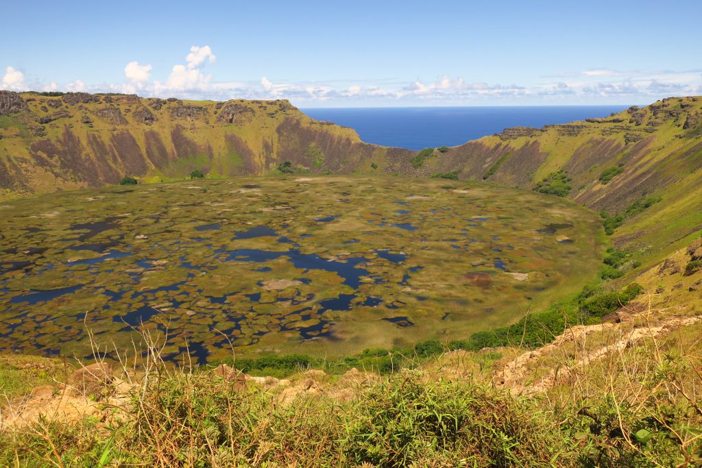
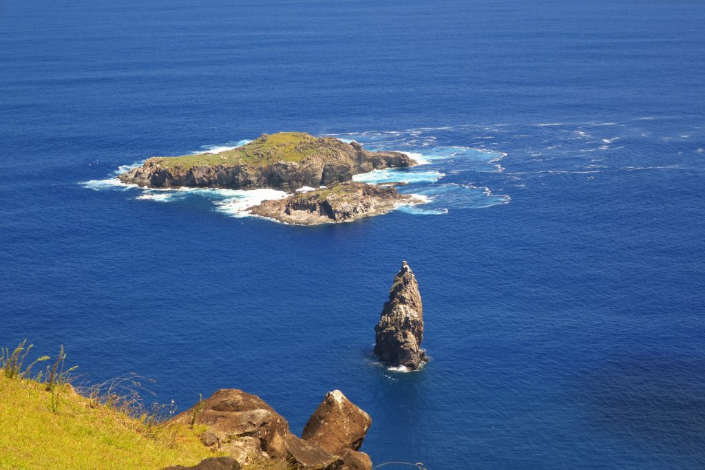
The chosen ones of the Birdman Cult would then dive down dangerous cliffs of Orongo, a village located meters away from the Volcano Rano Kau. They would then swim to the small inlet named Moto Nui and wait for the first manutara (sooty tern) egg of the season, swimming all the way back to Orongo with the egg safely secure in order to win the crown for his elder, who would then be considered the supreme ruler for one year, until the next competition.

Here is a picture of the volcano.

This is a picture of Moto Nui.

And here are pictures of Orongo, the village where the elders and priests waited to see who won.

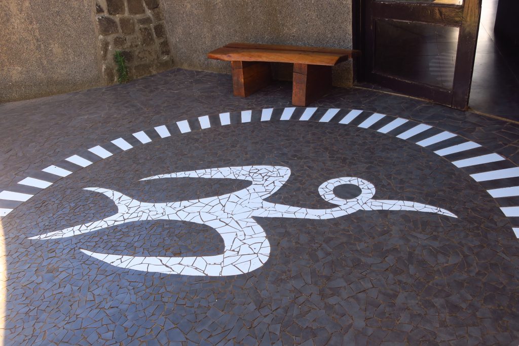
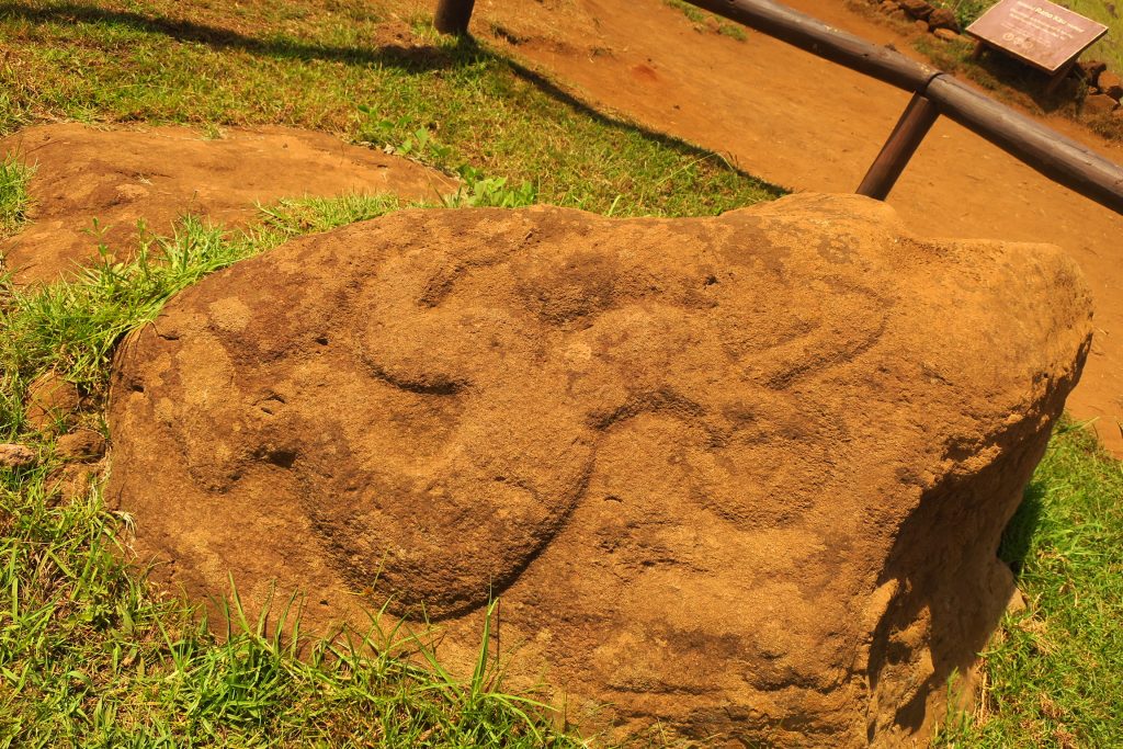
This symbol represents the manutara

And this represents the Birdman

This seems like an odd way to run a society but went on for about 150 years.

Again that evening we went out for a ride before having dinner at a restaurant recommended by Patricia.

March 2, 2018

This morning we met our Easter Island guide, Patricia. Her English was great since she lived in Australia for 8 years when she was growing up. On our way to our first stop we asked her about immigration to the island. She said the population had increased significantly over the last several years. It has caused issues on such a remote island. For instance, recently, they had no cooking oil for about two months. They get a supply ship every several weeks. It has to anchor out in the harbor because they don’t have a dock for it. Then the goods are transferred to a ferry which shuttles them to the island. With calm seas it typically takes about a week to unload the ship but it has taken as long as a month due to weather delays. Recently Chile enacted a law to limit the number of people immigrating to Easter Island.

Our first stop was Tahai, the location of the only moai with eyes.  The eyes in the rest were damaged when they fell or damaged maliciously.  This is the only one that has been fully restored.

Patricia explained that the Polynesian people most likely settled on Easter Island sometime between 700 and 1100 AD. Oral tradition states the island was first settled by a double-canoe expedition, originating from Marae Renga (or Marae Toe Hau), and led by the chief Hotu Matu’a and his captain Tu’u ko Iho. The island was first scouted after Haumaka, the chief’s priest, dreamed of such a far off country; Hotu deemed it a worthwhile place to flee from a neighboring chief, to whom he had already lost three battles. The people that came with them were organized into tribes.

The original inhabitants believed that their forefathers’ spirits had the ability to come to their aid, since the spirit remained around its relatives for a long time before leaving for good. This spiritual energy, or mana, attributed mostly to chiefs and important members of society, had the ability to influence events.

This cult of ancestors worship led to the development of a funeral ritual which consisted in wrapping the bodies in vegetable fabric and expose them to open air for decomposition. Finally, the bones were washed and deposited in a funeral chamber in the ahu, or burial mound, so that the spirit could reunite with its ancestors.

When a tribe chief or any of the important members died, a moai was ordered to be sculpted and was later transported to its village and placed on an ahu or ceremonious altar.

Once the Moai was set up in its ahu, the eye sockets were sculpted and, in a ceremonious ritual, the eyes, made from white coral and red scoria, were placed; from this moment on it was considered that the Moai’s mana could project over the tribe. Finally, an enormous red scoria cylinder called pukao was placed on top of its head. The meaning of the pukao is ambiguous, on one hand it is believed to have represented the tribe’s hierarchy and on the other to have symbolized the long hair that the islanders used to wear up in a bun.

The statues were at first sculpted out of basalt, trachyte and red scoria, but the preference soon switched to volcanic rock. At first the moais were small, with wide heads and short ears, but little by little the styling was changed to include long torsos and rectangular heads with long noses, thin lips and long ears. Also, with the passing of time the sculptures increased in size to proportions that, it is believed, would have been impossible to transport.

The population grew and grew to as high as 20,000 and the island did not have the resources to support these numbers so there was a lot of fighting and discord among the people and the tribes. Tribes started push over the moai of other tribes to eliminate the manu coming from the moai. By the 1800’s there were no moai left standing. It wasn’t until the 1960’s that a few were starting to be restored.

Here are pictures of moai that we saw that day.

We went to Anakena, the beach that the original Polynesians were believed to have landed. It was a really beautiful beach, one of only two on the island. Here are some pictures.

That afternoon we went to the quarry, a dead volcano. The master carvers sculpted the stone with basalt or obsidian chisels and it’s calculated that a team of carvers could take 2 years in finishing a big moai. First, the front side was carved with all of the details except the eye sockets. Then, the back was chiseled. They cut holes in the “keel” and inserted logs into the holes. They wet the logs, causing them to swell, which, in turn, freed the moai from the keel. Then they stood it upright with the help of ropes and place it in the previously prepared pits.

Once upright, the sculpting was completed and the Moai was ready to take one of the four “Moai paths” that would lead it to the ahu (altar) it was destined for. There are many, many moai at the quarry, some half carved and still attached to the bedrock, others in the finishing pits which have since been filled in, others which were clearly broke as they were being transported. Here are pictures.

We walked up to the volcano crater. Here are some pictures.

That evening we went out for a ride on our scooter. We stopped at a restaurant for a beer and juice. We had dinner in the room and went to bed early because we wanted to be up early to take pictures of the sunrise over the moai.
 

March 1, 2018

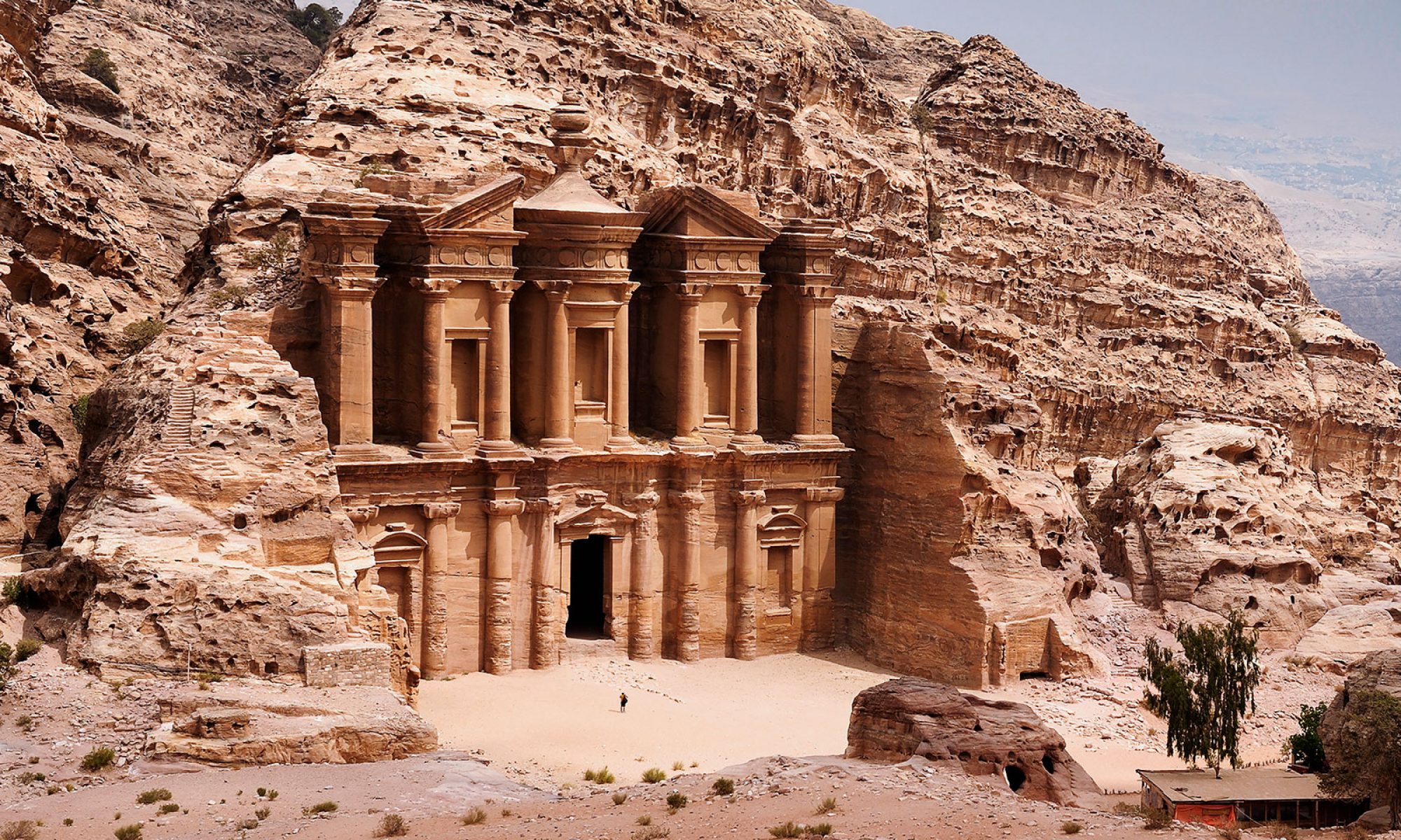
We had an early pickup this morning because today we are going to Easter Island. Easter Island is over 2,000 miles from Santiago so it was a 5 1/2 hour flight. In fact Easter Island is one of the remotest inhabited islands in the world.

At the Easter Island airport we purchased tickets to the national park and then took a taxi to our hotel. We walked downtown where we found a couple of moai, the monolithic human figures that are iconic of Easter Island. After lunch at a seaside restaurant we explored town a little further. Here are some pictures of Hanga Roa, the main town on Easter Island.

Although we had two days of tours, we decided we wanted to be able to explore the island on our own so we ended up renting a moped. Luckily Rick has a motorcycle license.

That evening we went out for a ride. We were expecting to see moai all along the coast but we didn’t. The island looks very volcanic; lots of black porous rock everywhere. We saw a couple on fallen moai and one still standing.

After our ride we stopped at the grocery store and got some dinner.

February 28, 2018

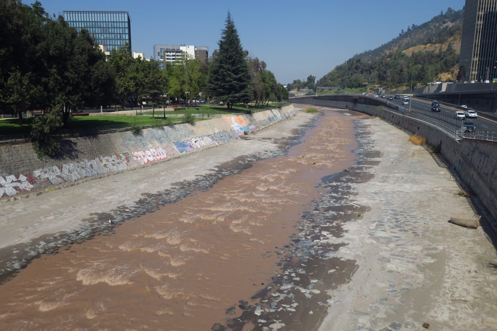
We began our day by crossing the river (below is a picture of the river, it’s very, very low this time of year)

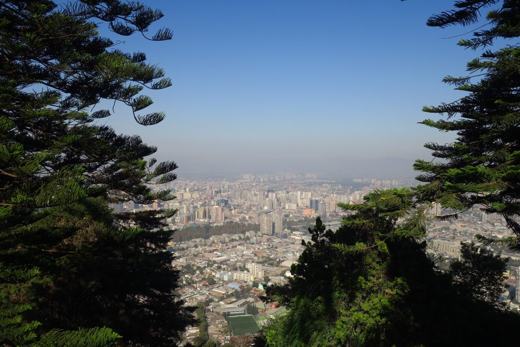
and walking over to the Cerro San Cristobal. We took the funicular to the top. Here’s a picture of the city from the the funicular.

On the top of the hill is an outdoor church with a 14m-high Virgin Mary. We explored the area for awhile.

We took a gondola back down the hill.

We have another day in Santiago when we come back from Easter Island and before our flight that evening. Someone in Puerto Varas told us we should go to Valparaiso so we are trying to organize a visit for our last day. We decided we would rent a car on our return to Santiago and drive there. So after Cerro San Cristobal, we visited the Hertz office and booked a car.

We went back to Barrio Lastarria for lunch and then went to Pablo Neruda’s house. He was a Chilean poet-diplomat and politician, winner of the Nobel Prize for his poetry and lived from 1904-1973. It was very interesting but we couldn’t take pictures inside the house.

That evening we went back to Barrio Lastarria for dinner. There are a lot of restaurants in Barrio Lastarria so we never repeated a restaurant.

February 27, 2018

At breakfast this morning we saw the French family that we talked to when we were in Puerto Varas on February 22. They are staying at the same hotel. Small world!

We started our day by walking to the fish market.  Around the outer edge of the market there were many vendors selling fresh fish,  and there was a large restaurant in the middle. Here are pictures of the fish market.

There were vendors selling fruits, vegetables, and flowers near by.

We continued walking around town. Here are some pictures of government buildings and the Plaza de Armas.

We stopped for coffee and briefly talked to our waiter who had recently migrated from Venezuela. As we continued our walk we came across couple of street performers dancing.

While we were walking a woman told Rick that he needed to carry his camera tightly because there were many thieves. We also saw a lot of homeless people. We saw one guy protesting with a sign outside of the Chilean Supreme Court. It felt like there was a far amount of social strife.

Before lunch we went to Cerro Santa Lucía, a hill that was transformed into a park. Here are pictures

We went to the Barrio Lastarria for lunch. Barrio Lastarria is a funky little neighborhood with lots of cool restaurants. We talked to the hostess whose English was very good. She was from Venezuela and had recently moved to Santiago with her boyfriend. They were both working and sending money home because things are really bad in Venezuela. We gave her our email and told her to come visit us.

After lunch we went back to the room and I worked on the blog.

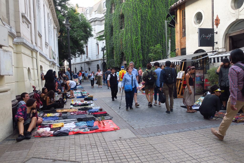
That evening we went back to Barrio Lastarria for dinner. We had a lovely dinner at a rooftop restaurant. There are a lot of street vendors in Barrio Lastarria, particularly in the evening. It feels like people come out in the evening and sell stuff on the street to supplement their day job income. Some of the stuff looks the person’s old stuff.

February 26, 2018

We left Pucón and headed to Temuco where we caught a plane to Santiago. We arrived in Santiago at about 1:30. We were picked up at the airport by George, from Protours, and he took us to our hotel. While driving he answered a lot of our questions. We talked about Chilean wine and the best valleys for growing grapes.  He told us that Chile accepts a lot of migrants and it is a burden on their social systems. He also said that their biggest export is copper, most of which gets shipped to China where they make it into other things. He told us some good restaurants and a little bit about Santiago.  He talked about how many people had to have multiple jobs just to make ends meet.  We covered a lot of ground in just 30 minutes.

We got settled in our hotel room. As I mentioned before Rick broke the viewfinder protector on his camera. We had tried to find another one in Punta Arenas without any luck. So once we arrived in Santiago Rick looked up the local Nikon supplier and we were off to find a new protector for his viewfinder. We took the subway which was quite easy to navigate and found the store but no protector so it will have to wait until we get home.

Then we went out to find some lunch, a very late lunch. We went to a place on the other side of the river that George recommended. Food seems very expensive here and lunch for two is typically about $50. After lunch/dinner we walked around a little bit before heading back to the hotel and calling it a night.

February 25, 2018

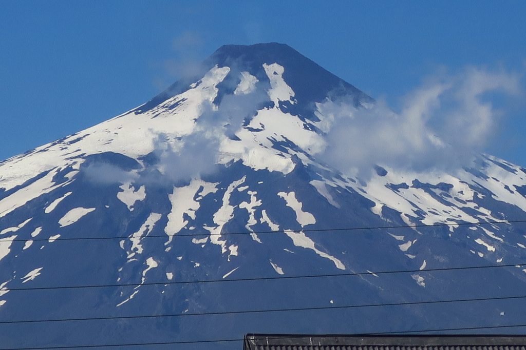
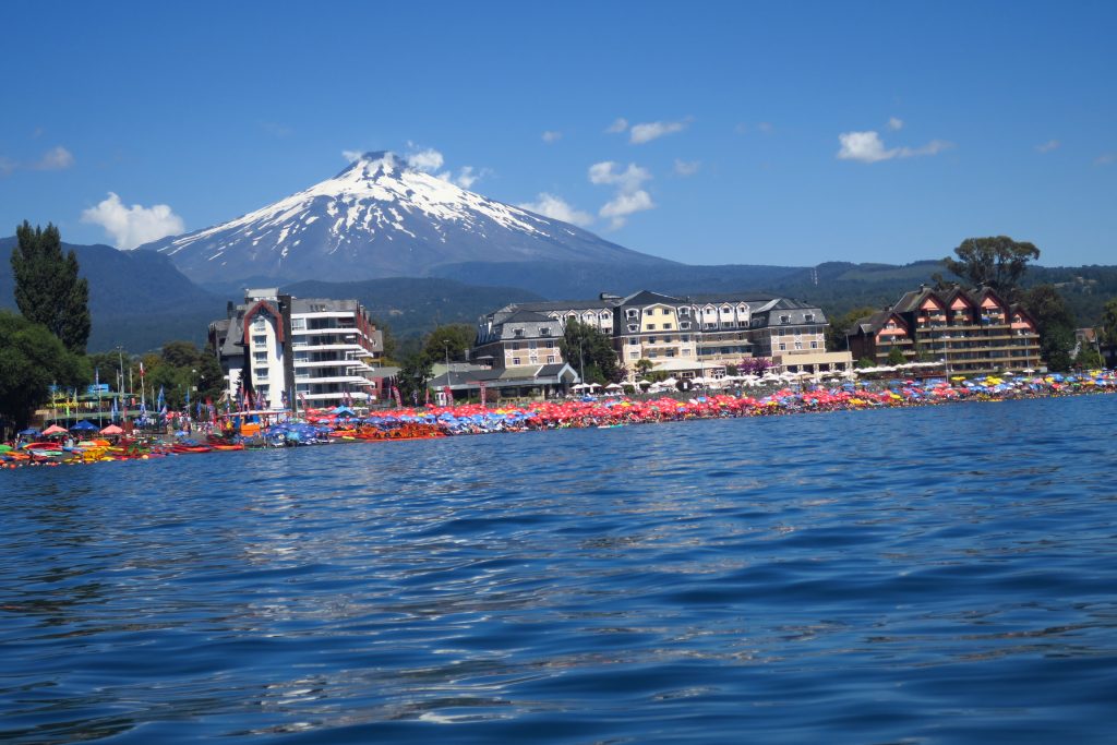
After breakfast we headed to the lake with the intention of renting kayaks. It was a beautiful day and the volcano looked very cool.

We were told to go to another beach where we found a sailboat to rent—yippeee! We reserved the boat for that afternoon and walked back to the hotel to get ready to sail. We bought some empanadas to take on the boat for lunch and changed into our bathing suits.

Back to the sailboat . . . We took boat out and unfortunately there was NO wind. We tried re-rigging the boat but we still were just bobbing. I tried paddling to what looked like a wind line, still just bobbing.

Here’s how far we got from the beach.

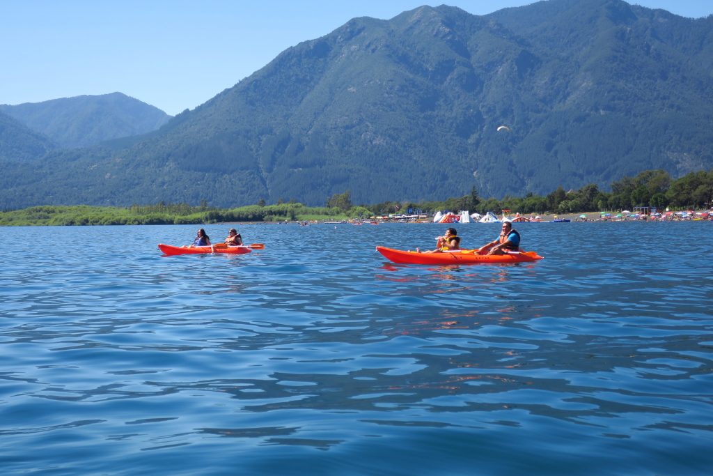
Here are the kayakers who were laughing at us because we weren’t moving.

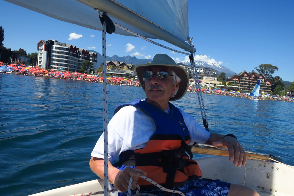
Finally as we were trying to head back in the wind picked up. We ended up really sailing for about an hour. We had a lot of fun. Here is a picture of Captain Rick.

That evening we went out for a beer and a juice. We had dinner at the room and packed up because we needed to leave early to go to Temuco to catch our flight to Santiago.

February 24, 2018

We had breakfast at the hotel and headed out. Huilo Huilo had a number of self guided hikes but we decided we’d rather get on our way to Pucón, a 2.5 hour drive. We decided to check out the hot springs in Liquine. Liquine was a very small town, so small that at one point a pig wandered across the road. We stopped at the information office but the woman there didn’t speak English and my Spanish is really bad. Eventually we found a hot spring site. It was very basic, with most of the visitors camping there. I got a tour from a guy working there. For 6,000 pesos, $10, you could use all of their facilities which included a couple of tubs feed by hot springs, a sauna, a mud hot spring, and private bath tubes. It didn’t look that clean so we didn’t do it but it was an interesting spot.

Then we continued on to Pucón. We found the hotel without any problem. After checking in, we went for a late lunch at a Peruvian restaurant and then walked through town. We were trying to find a sailboat to rent but were told that we could only go out with a skipper, oh well! We walked to the lake. There we saw a boat just like our, we joked that we had had it shipped just to S. America.

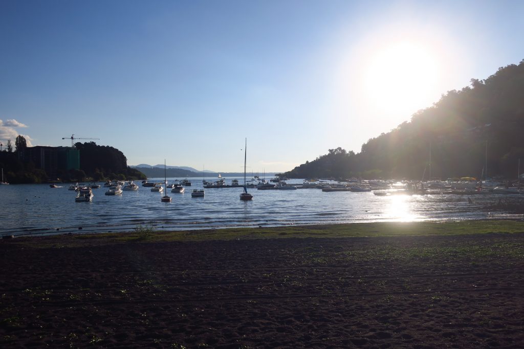
Here is a picture of the sunset over the lake.

That evening we had our typical picnic on our deck at the hotel.

February 23, 2018

We left Puerto Varas this morning and headed to Huilo Huilo, a 4 hr drive, with a planned stop in Frutillar.

Frutillar was established in the late 1800’s by German immigrants and the town still has a German feel. We wandered around the lake front which contained lots of little shops and a world-renowned theater. The volcano loomed on the other side of the lake. Here are pictures of the volcano.

Many of the shops sold yarn, but I showed great self-restraint and resisted. We bought some handmade wooden birds for the wall in the office. Here are pictures of the town.

Frutillar is famous for its theater beside the water.

Then we headed back to the car and planned to drive to our next destination. However when we got back to the car, we discovered that the battery was dead because we left the lights on (Chile requires drivers to drive with the lights on during the day). We called Hertz and they were supposed to send someone.

Rick waited with a car and I went to the German village museum. It was a recreation of the original German settlers village.

When I got back no one had called or arrived to jump start us. I walked into the town to try to find someone to help but no luck. We tried to call Hertz again and were holding for a representative. Rick hung up before speaking to someone because the phone battery was dying and we did not have a way to recharge it. We both thought we might be stuck in Frutillar for the night. Eventually, I waved down a police van driving by. They didn’t speak English but I had used my translator to figure out how to say “My car battery has died. Can you help us?” They understood. They didn’t have jumper cables so they went off to find some. They came back about 30 minutes later. Unfortunately the battery on their van was on the wrong side so they waved over a truck. Finally the car started! We tried to give the police officers 20,000 pesos, about $20, but they wouldn’t accept it so we ended up giving it to the truck driver.

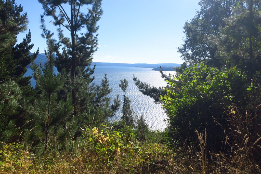
Back on our way, we drove directly to Huilo Huilo. The drive was very pretty, along huge lakes. Here is a  picture from the drive.

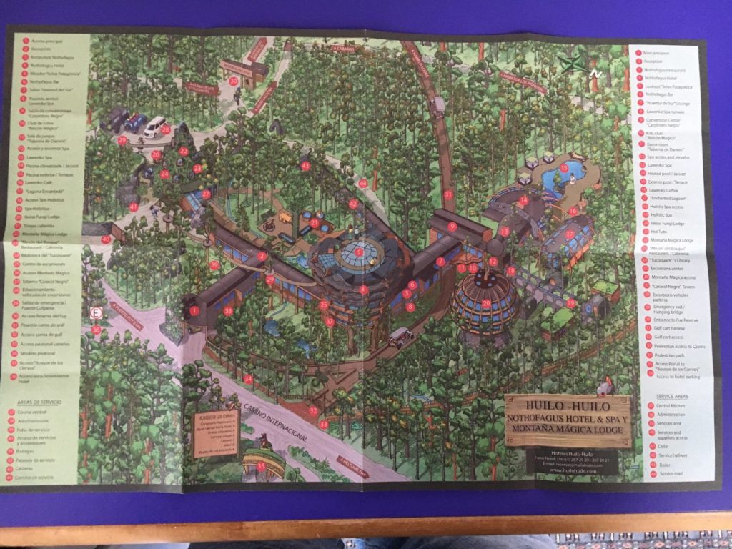
Eventually we arrived at our hotel in Huilo Huilo. Huilo Huilo is a conservation project, begun in 2000, which encompasses 1000 sq km of private land that has been developed for low-impact ecotourism and falls within a much larger Unesco biosphere reserve. The hotel was crazy. It was a huge rambling complex. Here’s a picture of the map they gave us.

Here’s a promotional video, many of the places shown were closed, https://m.youtube.com/watch?v=wPo9DK95Tf8.

Our room was in a building that looked like a mushroom. After getting settled in our room we wandered around, getting lost constantly. It was a weird place because it seemed really empty and a big portion was closed. They had game rooms, playrooms for younger kids, movie rooms, an indoor pool, an outdoor pool, a kids pool, etc. We came to conclusion that someone had invested too much money and the resort was in trouble because they could fill it. Once we looked a little closer, our whole place, including our room, looked a little tired.

We had a dinner buffet which was good but expensive and went to bed.