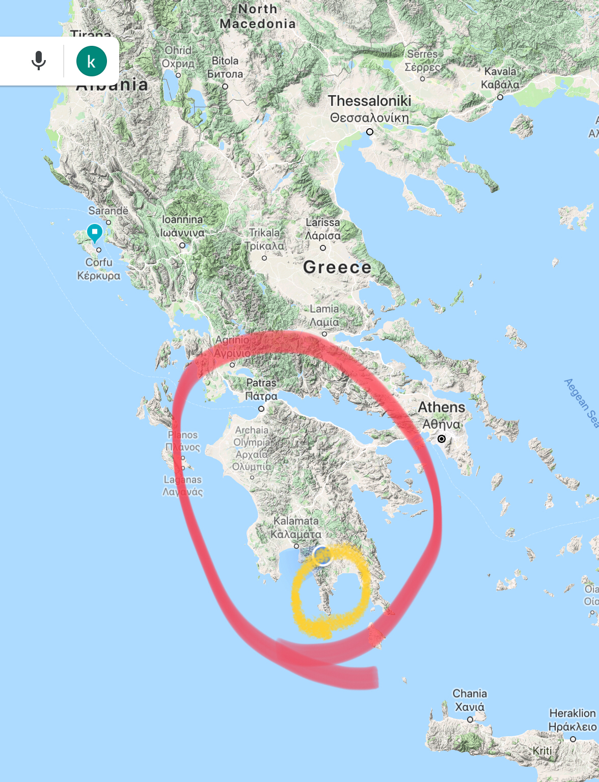
This morning we consulted with Stephie, our hotel friend, about where to go today. We decided to explore the Mani Peninsula. There are three peninsulas at the bottom tip of the Peloponnese and the Mani is the peninsula in the middle. Until recent years many Mani villages could be reached only by sea.
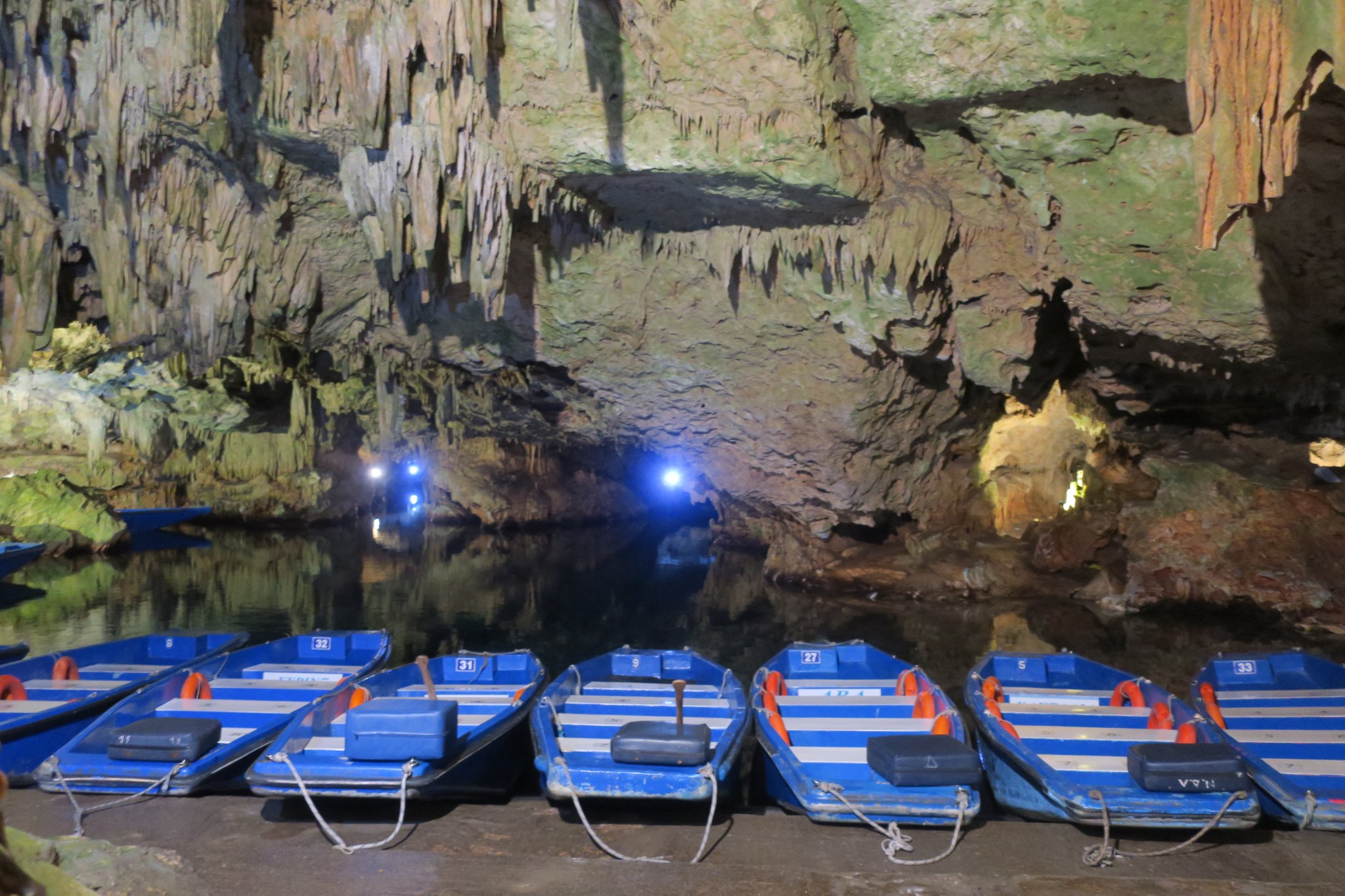
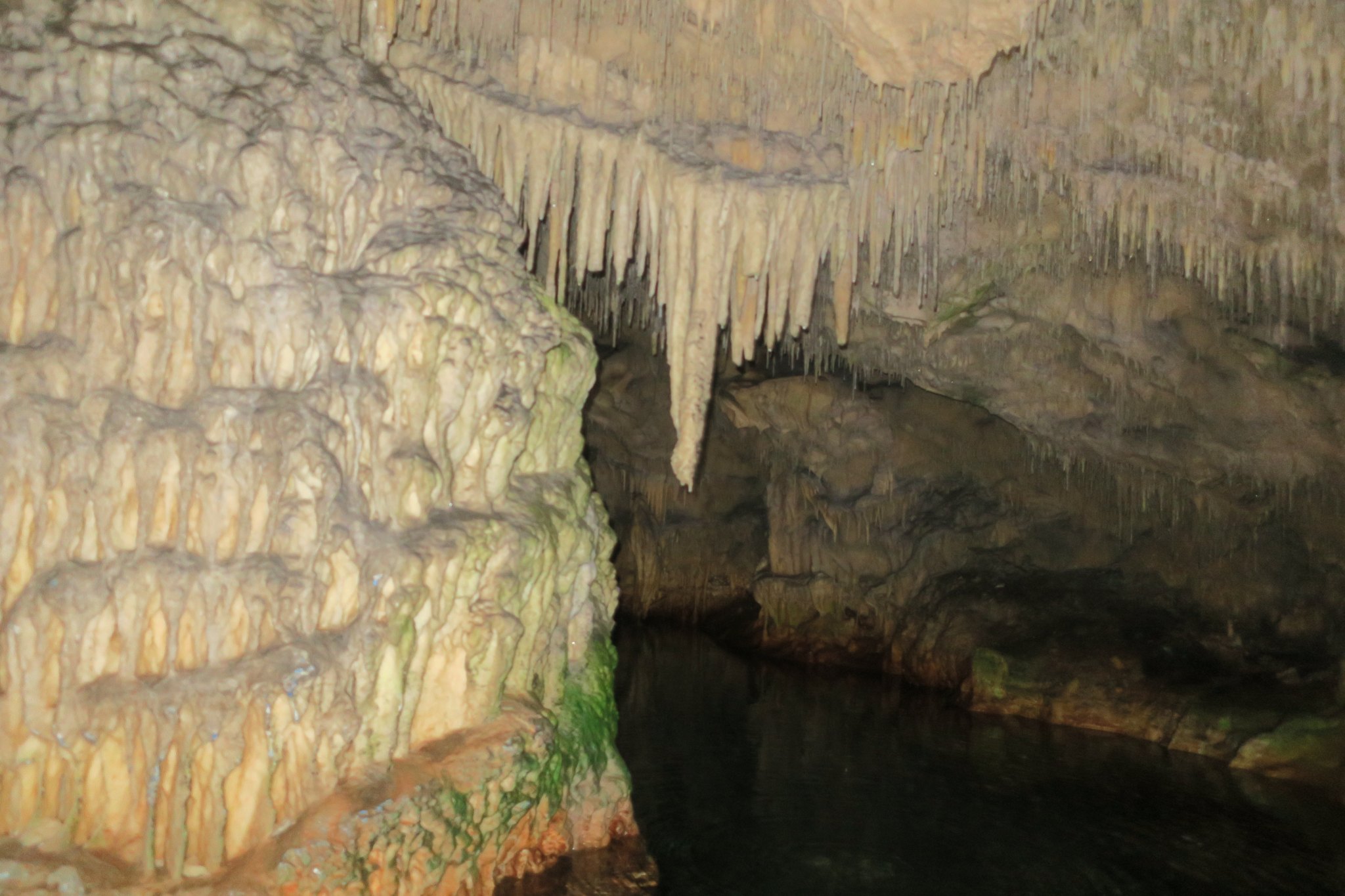
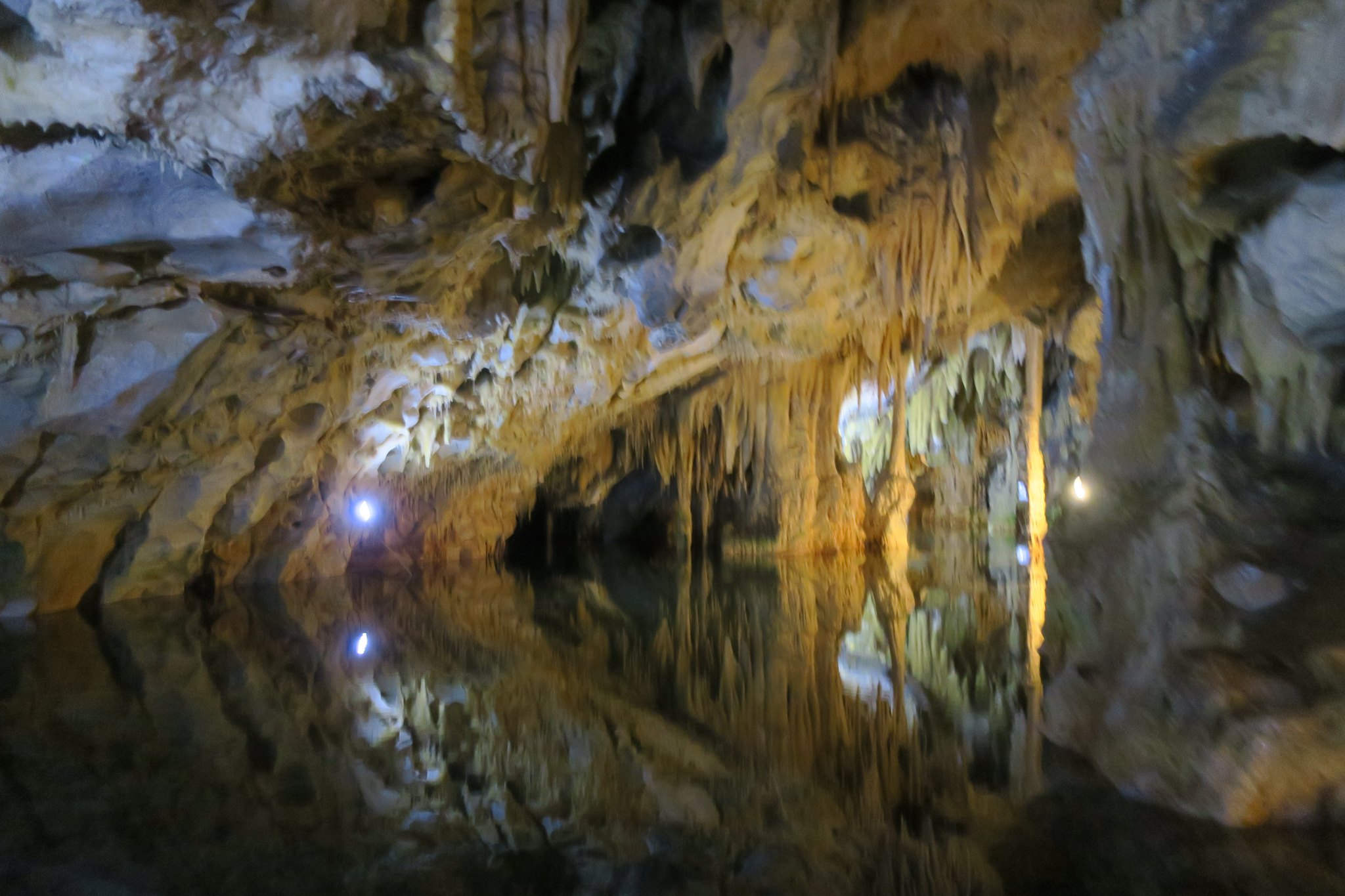
Our day started with an hours drive to the Caves of Diros (A on map below). We took a boat ride through the underground river Vlychada. The cave water system is believed to be at least 43 miles long, with more than 2,800 waterways. The cave was beautiful. we really enjoyed seeing it.
After the boat ride we enjoyed a coffee with a Dutch couple that we met. They are touring Greece in a camper, which seems very popular based on the number of campers we’ve seen.
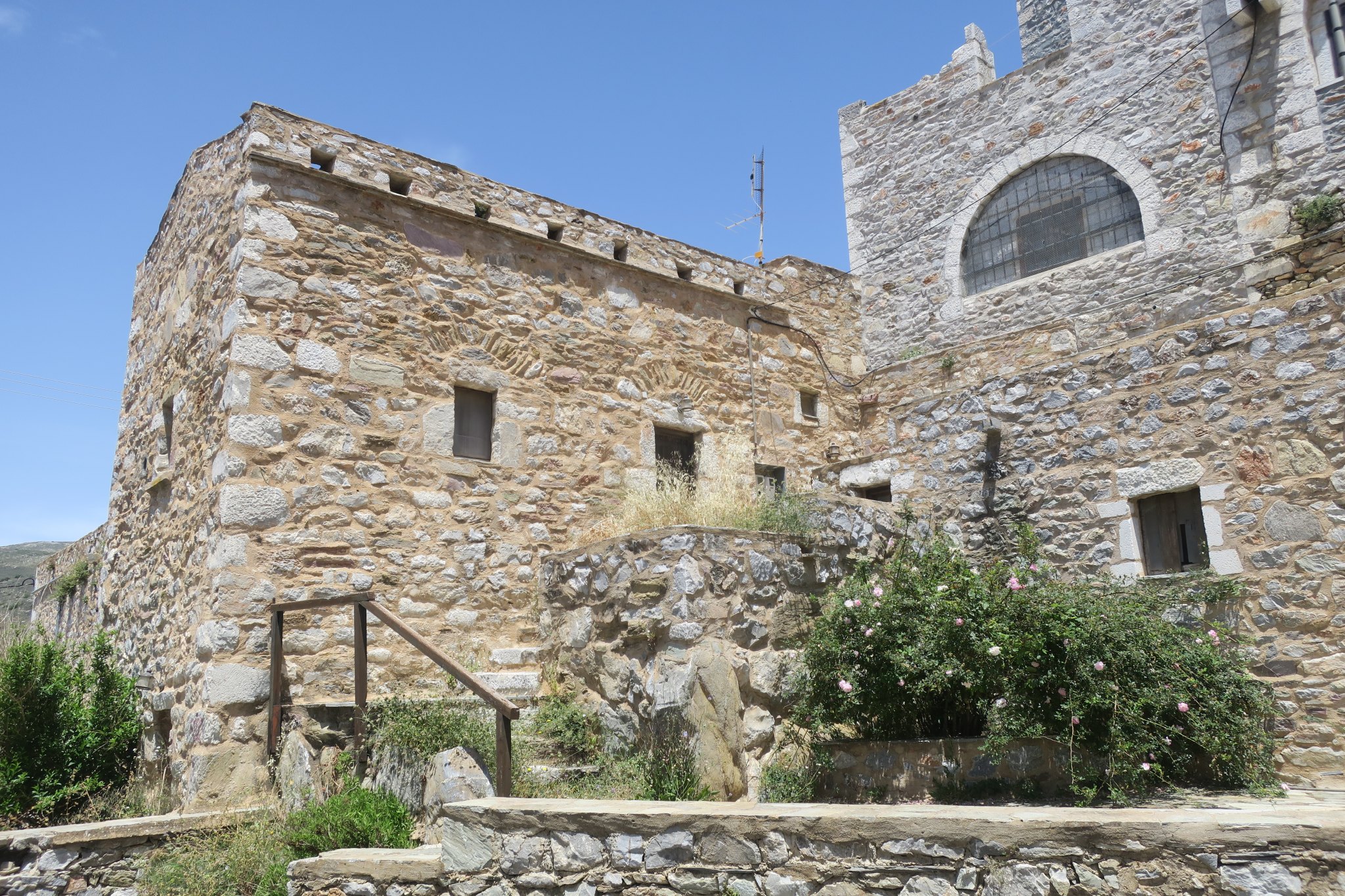
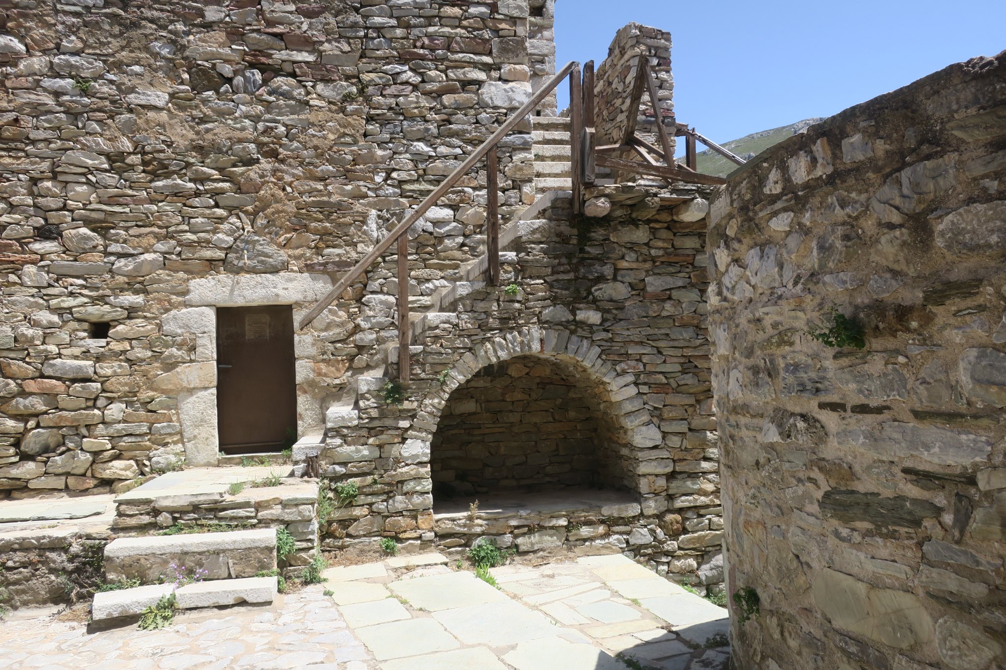
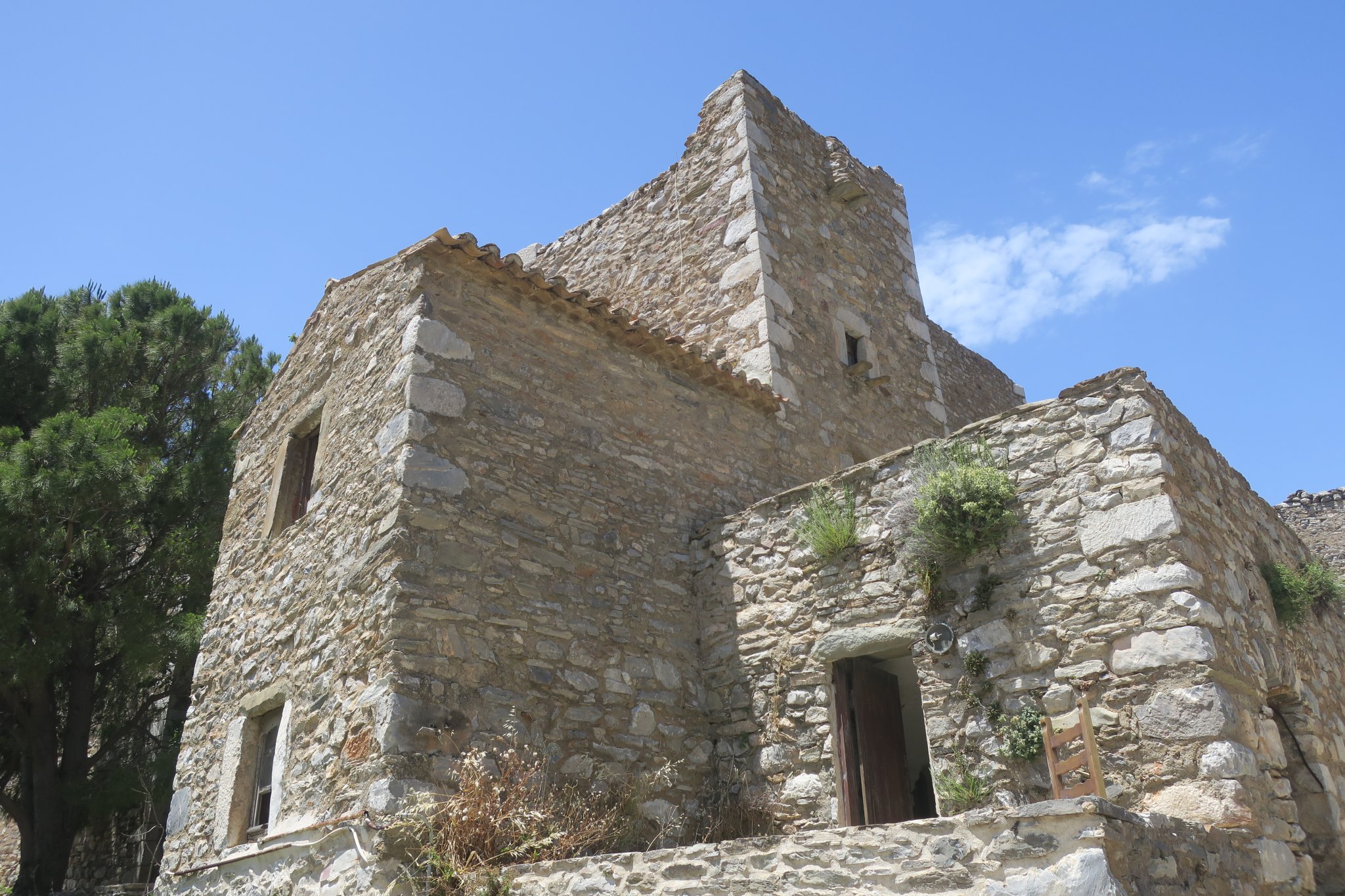
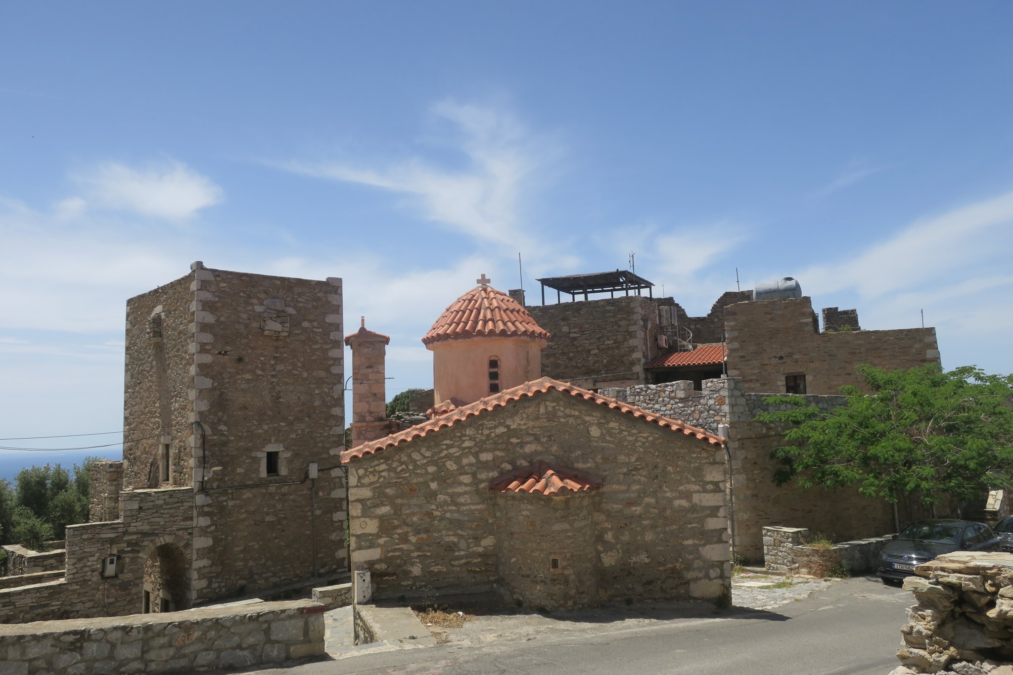
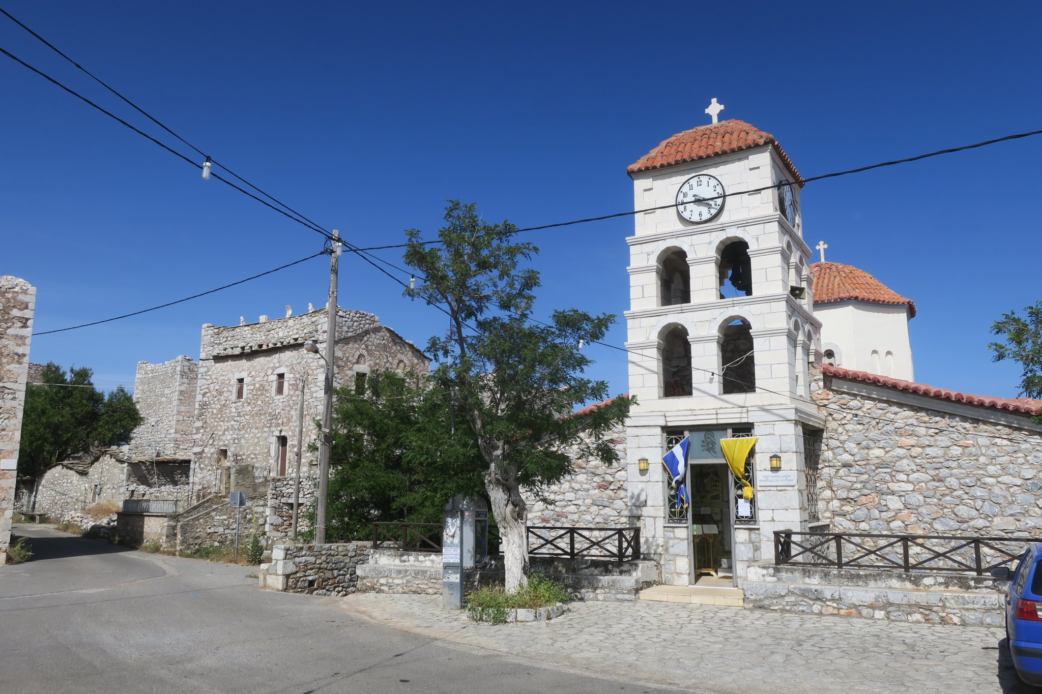
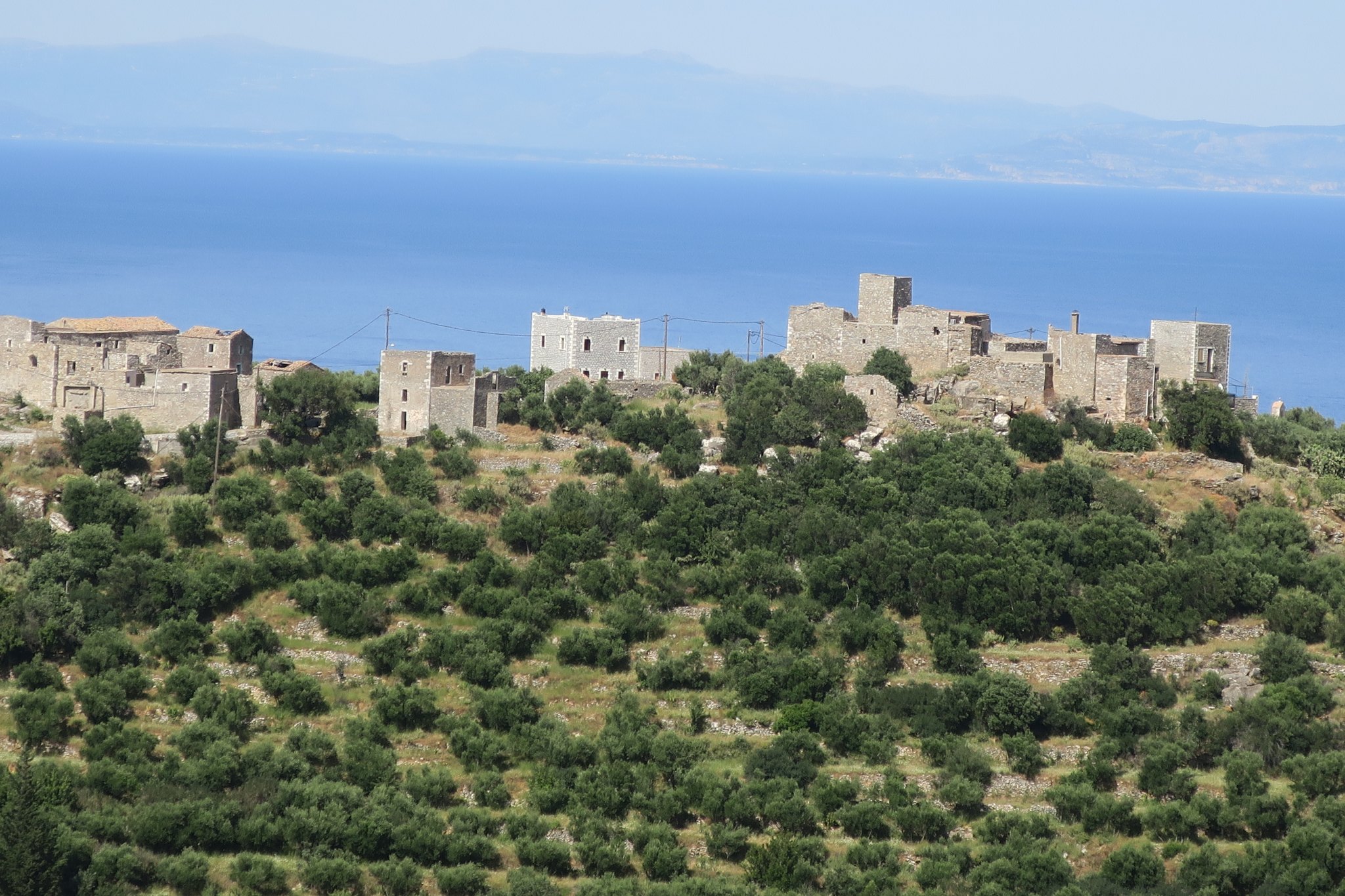
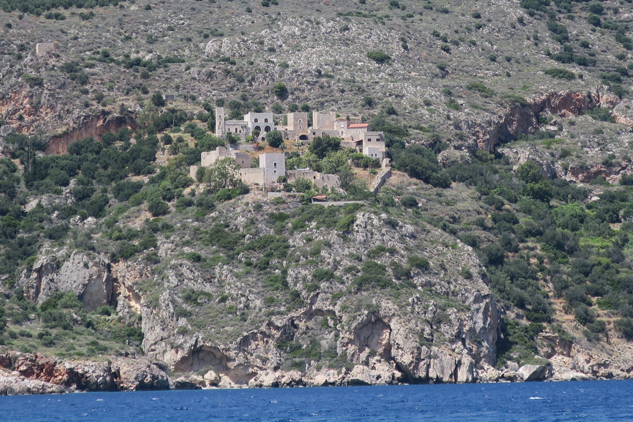
We continued along and started to notice tower houses. They are fortified stone houses, the oldest of which date back to the 15th century. The Mani Peninsula is very desolate, based on our guidebook it seems that historically the people were extremely fierce and fought for every inch of “the precious land in this barren landscape.” The book also describes Mani as “a land of bandits and blood feuds.” “The object in battle [feud] was to annihilate the enemy’s tower house as well as its entire male population.” So I guess tower houses were essentially a necessity — to protect yourself from your neighbors.
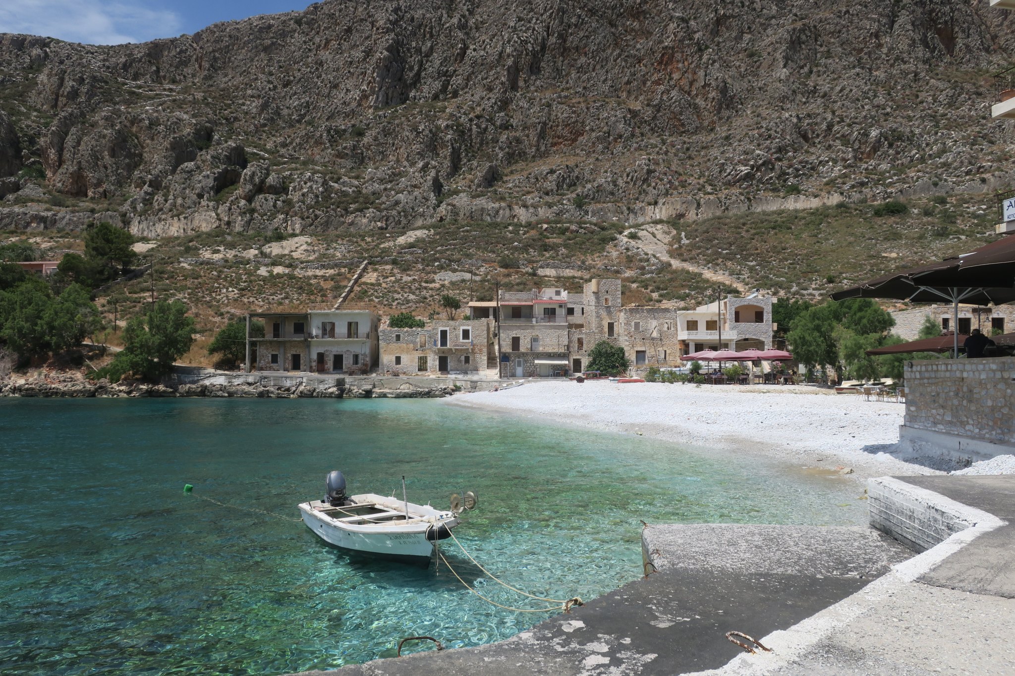
We stopped briefly to take pictures in Gerolimenas (B on the map below), a little village on the water with lots of tower houses.
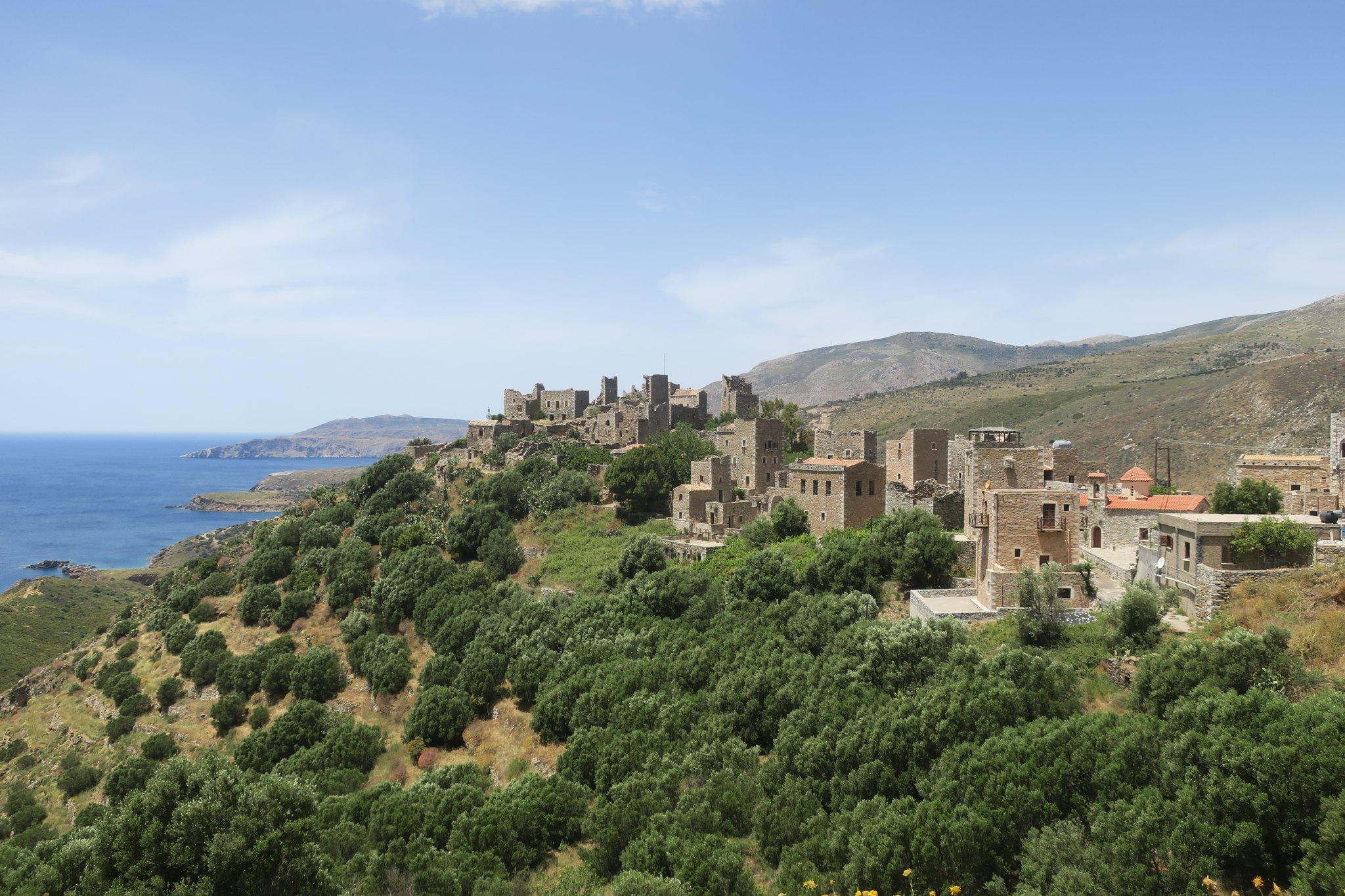
We continued our drive to Vathia (C on the map below) which is virtually a ghost town of tower houses. All the houses had very small windows and openings over doors through which they poured boiling oil on unwelcome guests. We explored the town and there were a few homes that looked like someone was living in them, but most were deserted. As we traveled around the peninsula we saw a lot of homes that were clearly deserted, not just in Vathia. We wondered how these shrinking towns survived (I guess they didn’t).
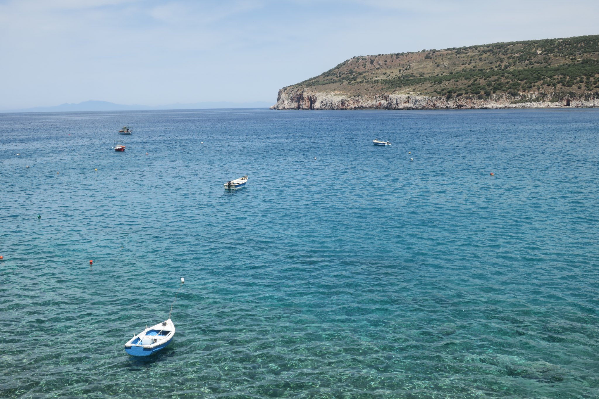
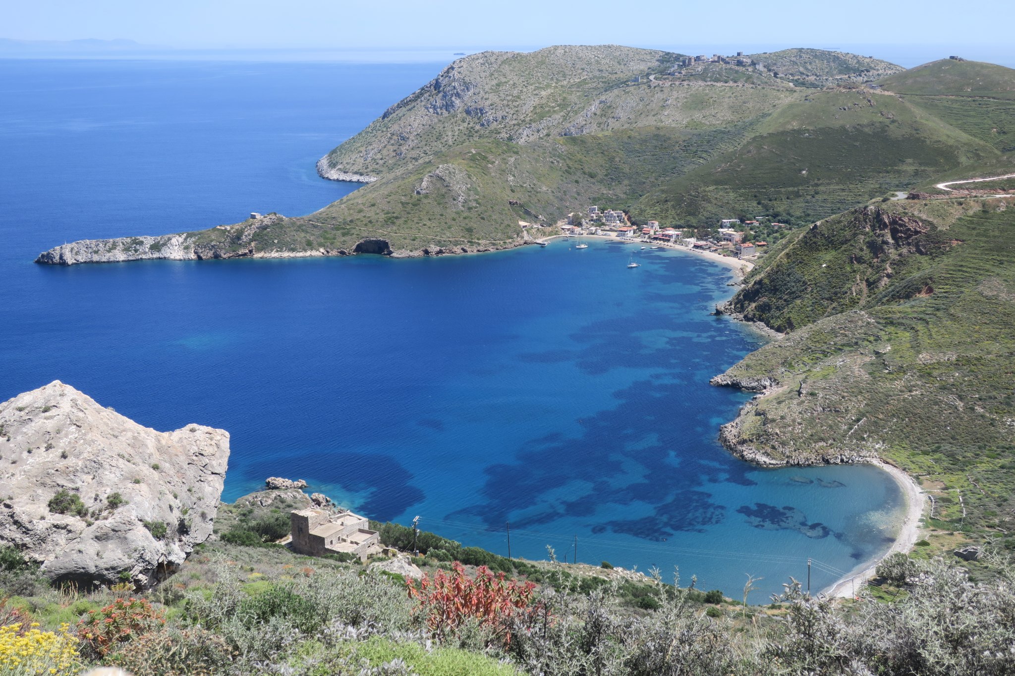
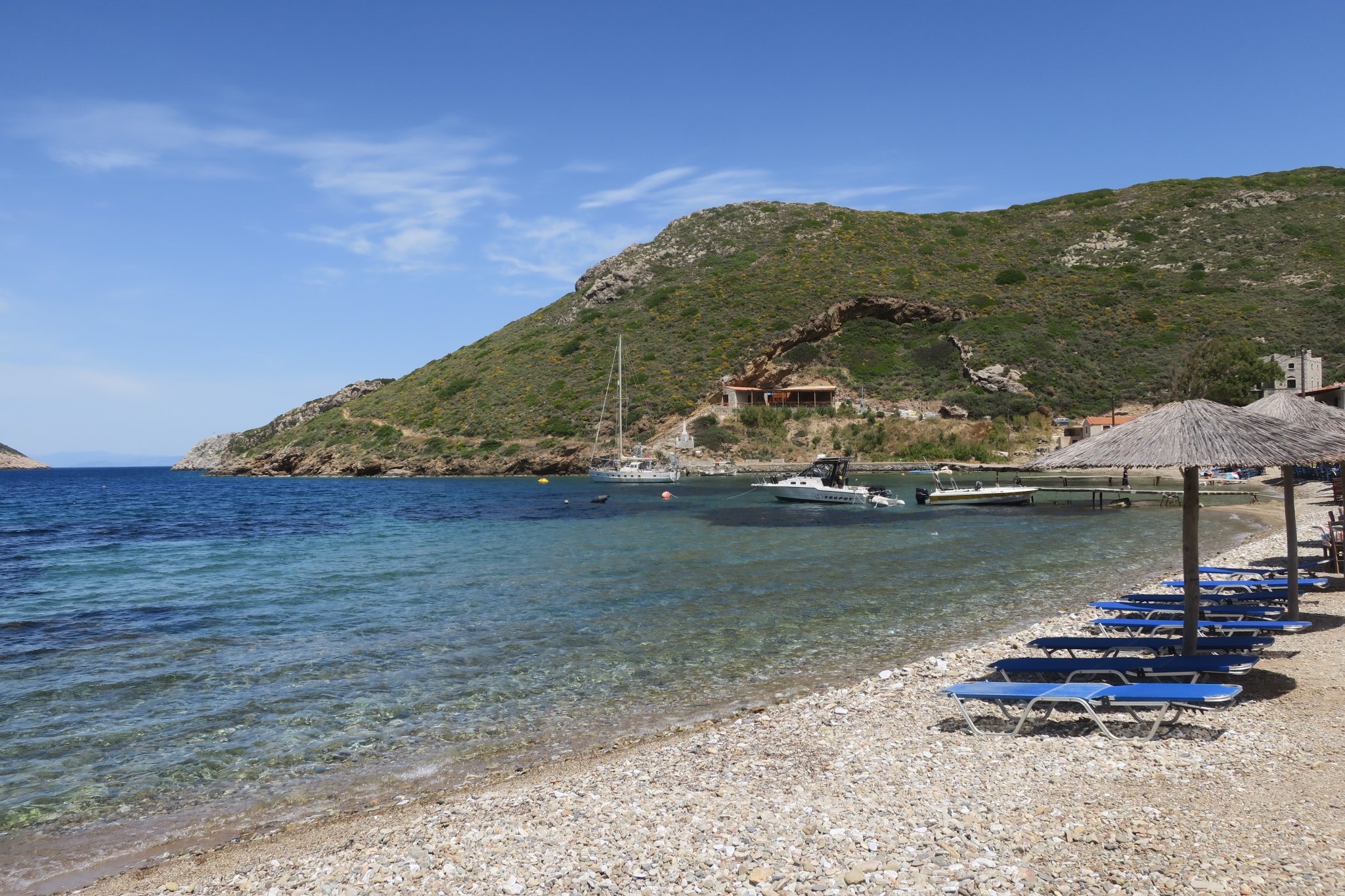
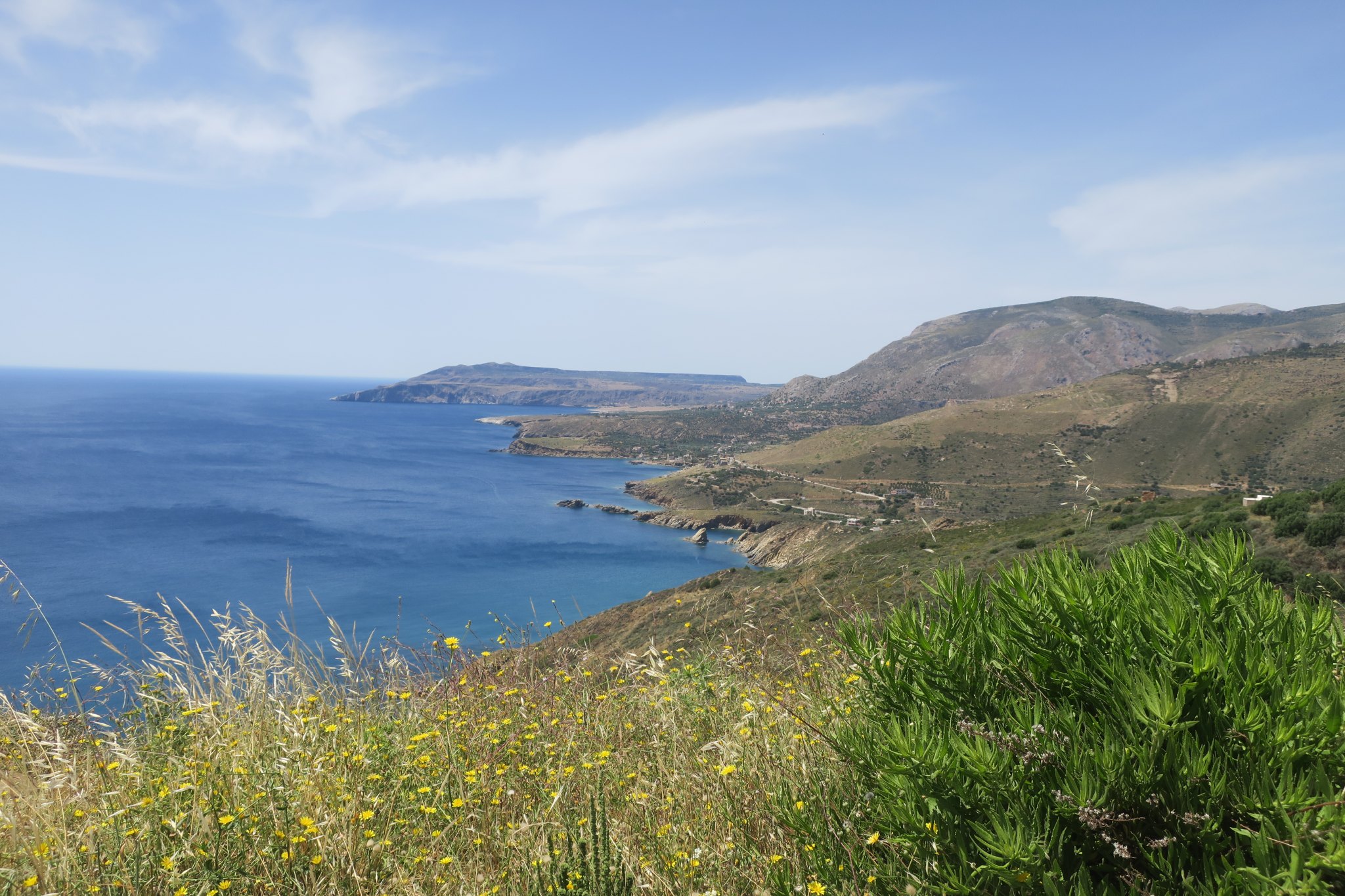
We continued our drive along the coast. It’s a very mountainous region and all the roads are a series of continuous switchbacks. We stopped to take a picture and looked over a cliff to see a beautiful harbor with a little town. A perfect spot for lunch (D on the map below). We enjoyed a nice lunch right on the edge of the water.
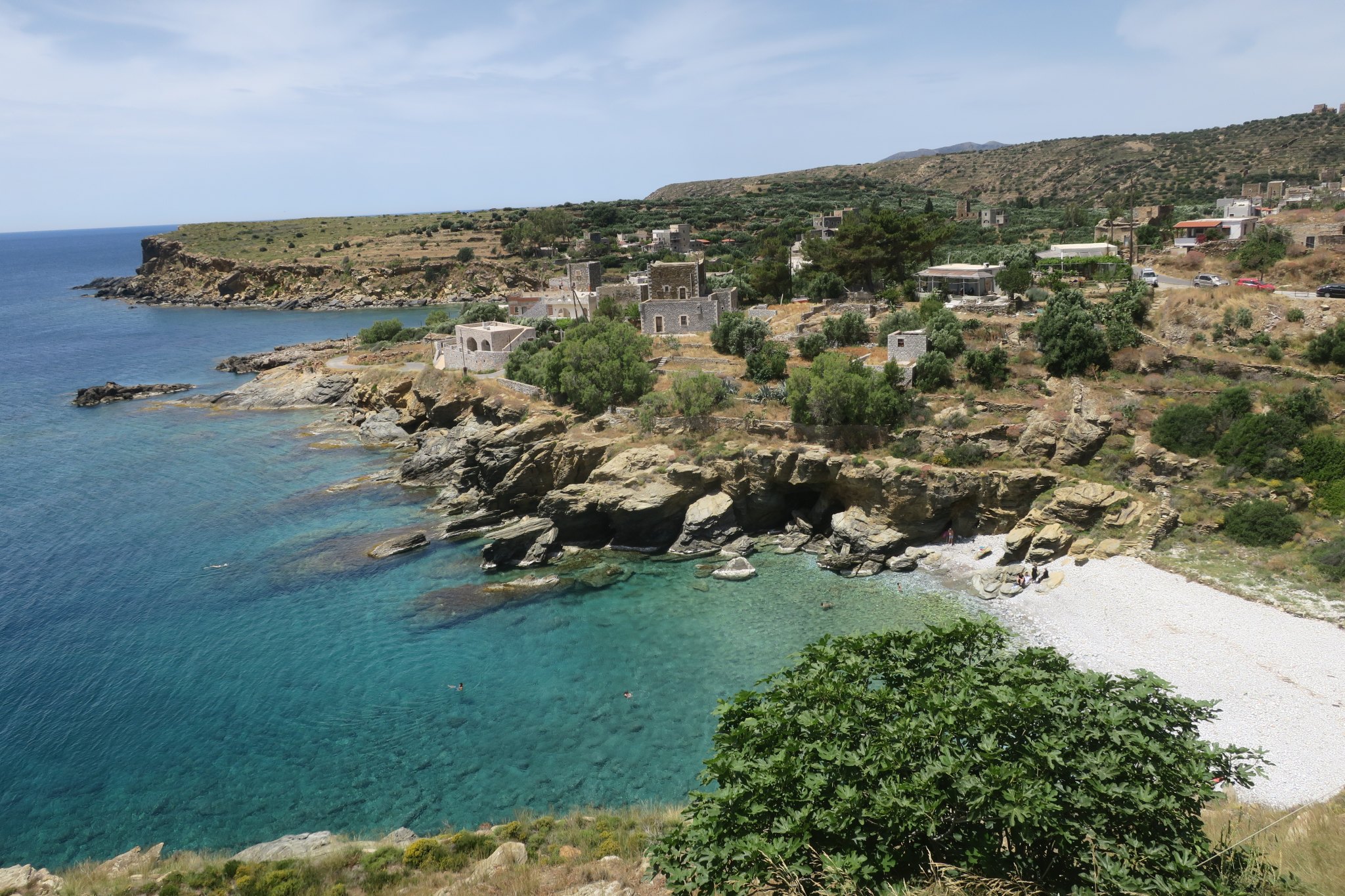
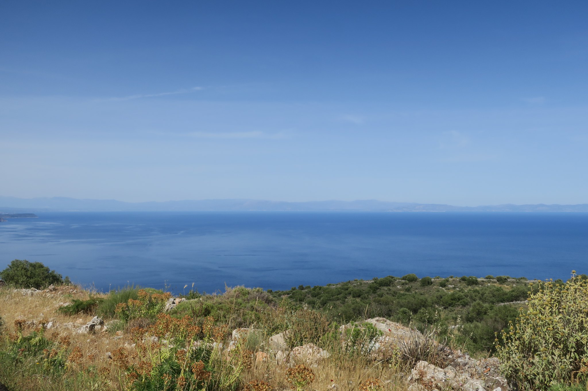
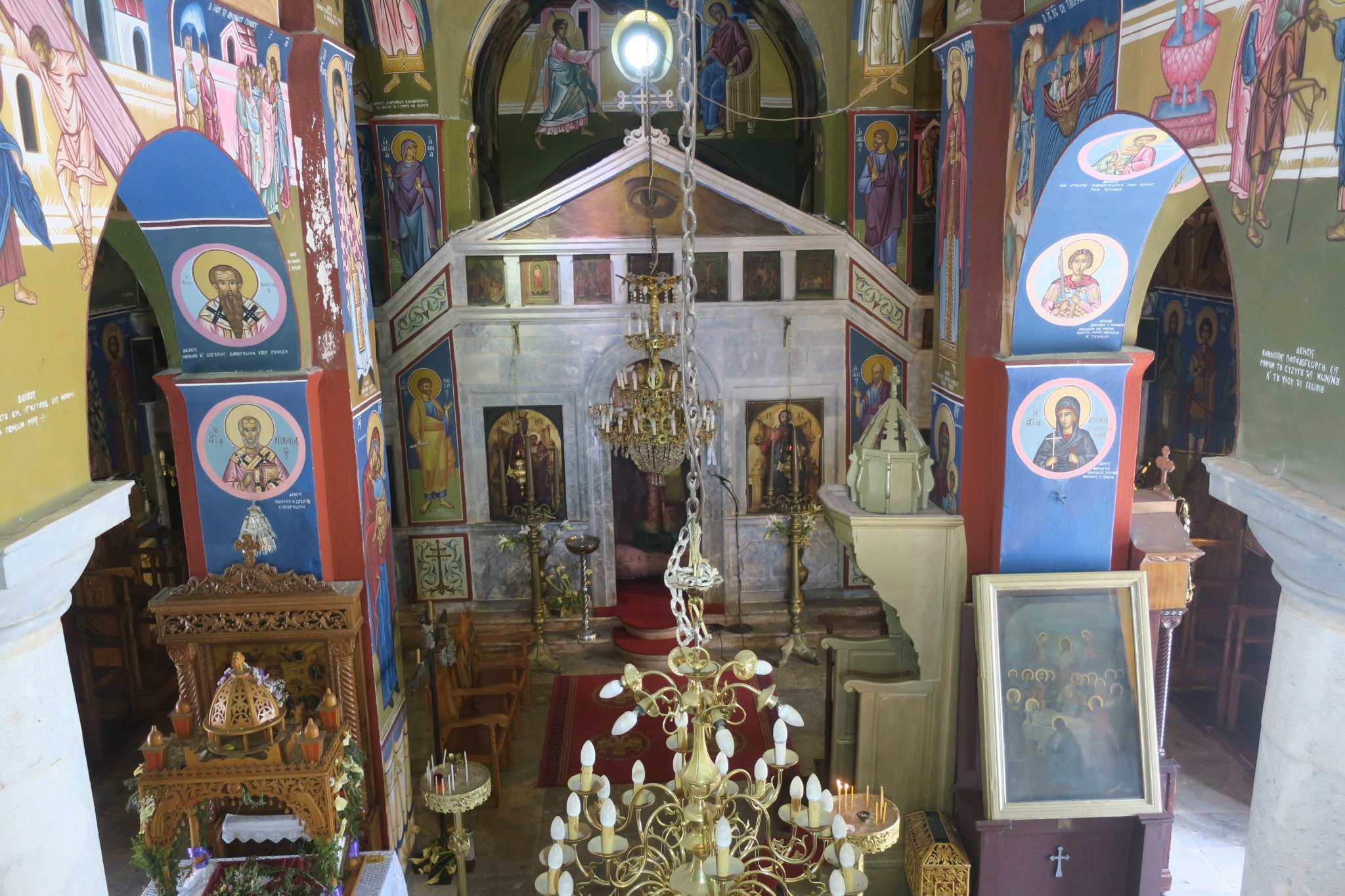
Here are some other pictures from our Mani tour.
We took the scenic route back to the hotel and spent the evening blogging and making plans for tomorrow.
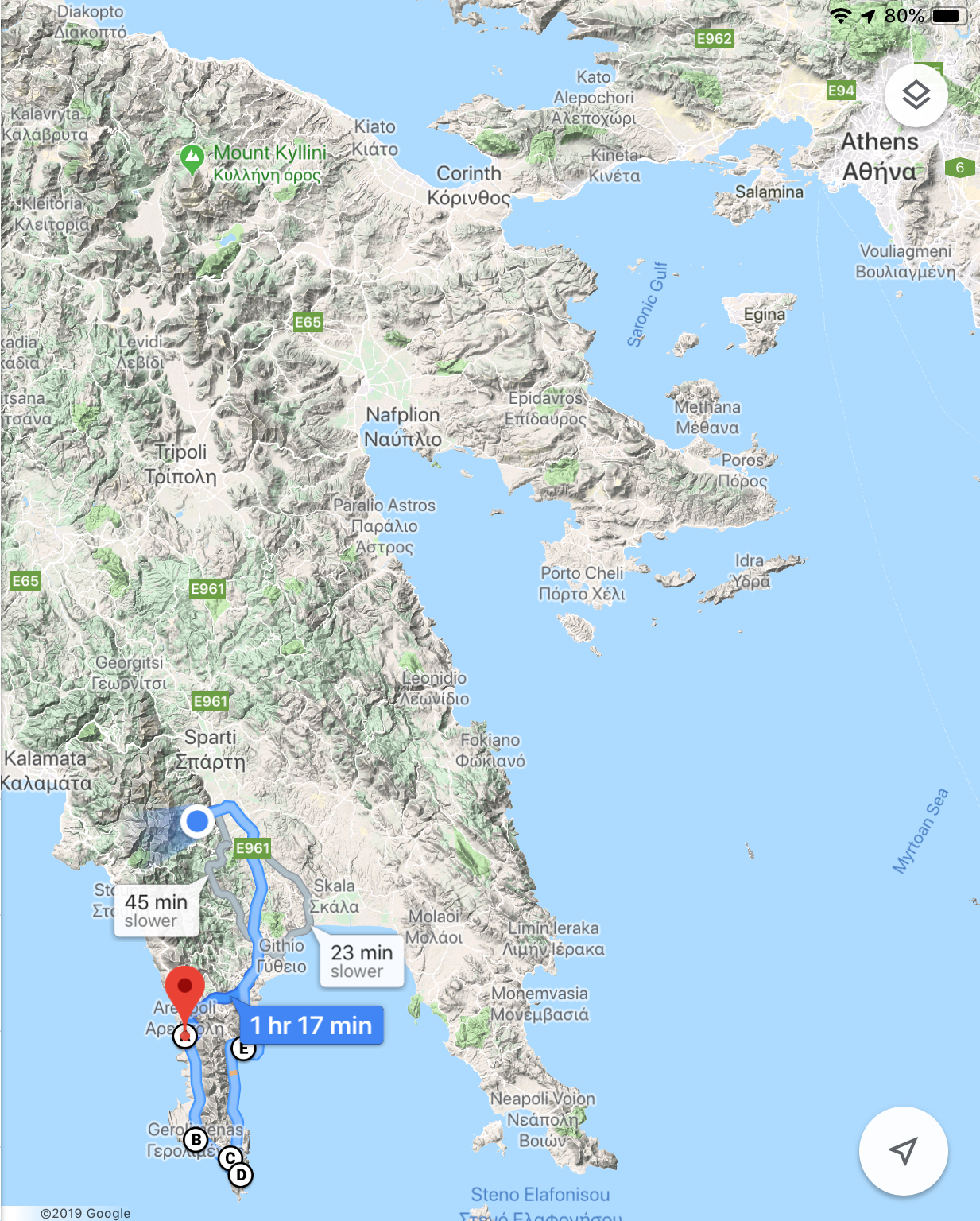
Here’s a map of our travels today.